Download to read offline

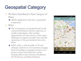
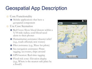
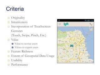
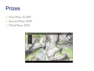

The document announces a new geospatial category for a hackathon hosted by NJVC, an IT services company. The geospatial category invites mobile applications that incorporate location-based functionality. Examples of use cases for such applications include showing blood donors on a map, aiding disaster relief efforts, and assisting pilots with navigation. The competition will judge entries based on criteria like originality, usability, and how much they benefit users and leverage geospatial data. Cash prizes will be awarded to the top three finishers.