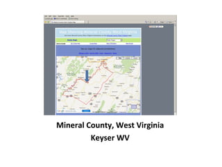
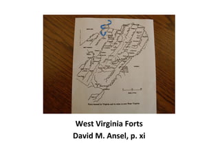
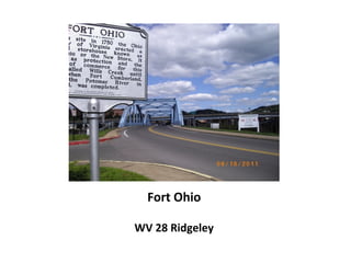
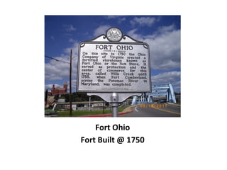
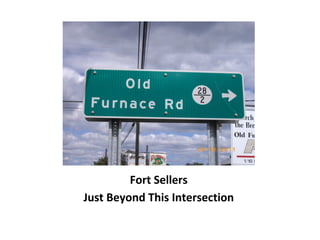
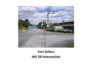
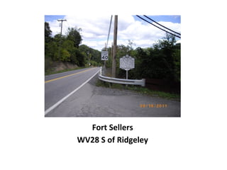
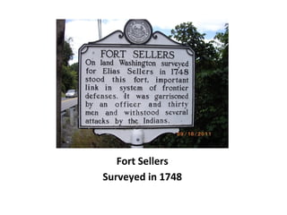
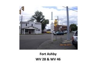
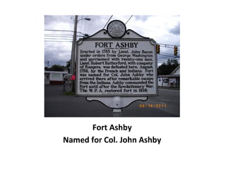
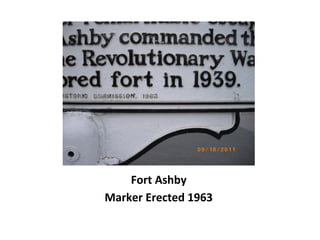
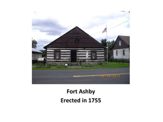
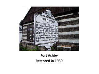
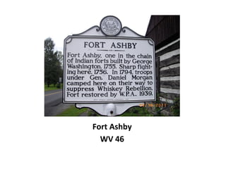
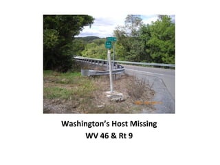
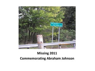
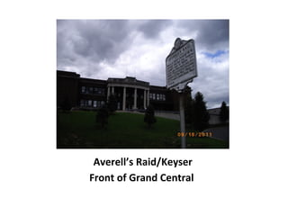
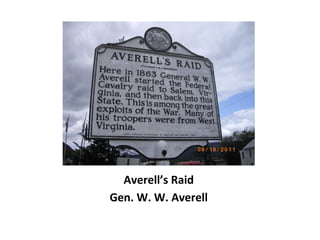
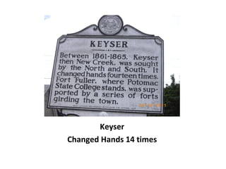
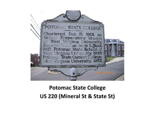
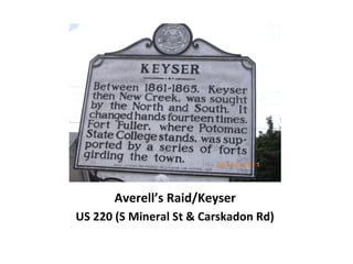
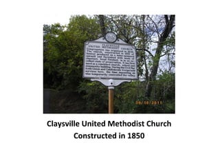
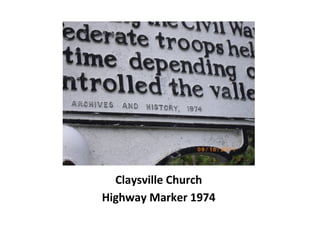
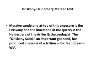
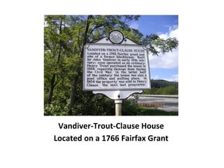
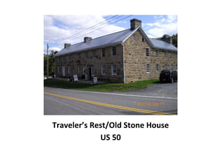
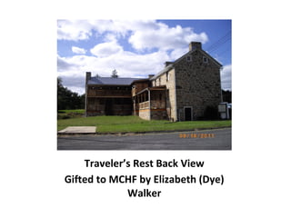
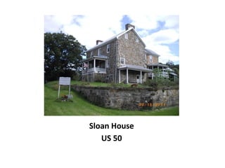
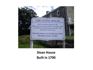
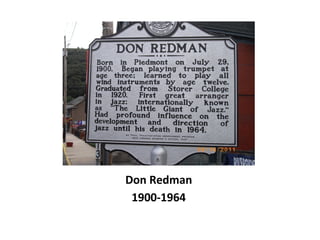
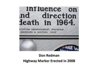
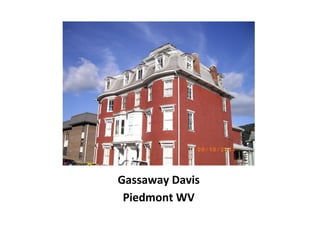
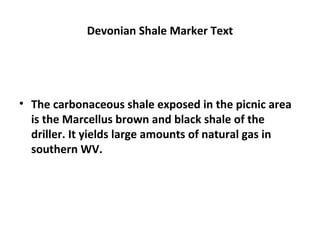
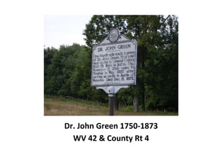
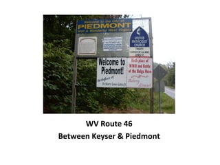
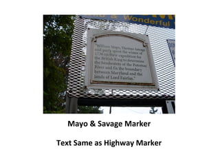
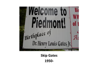
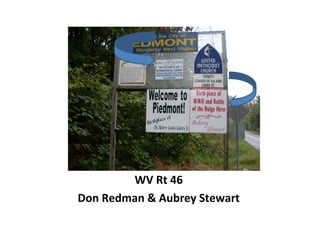
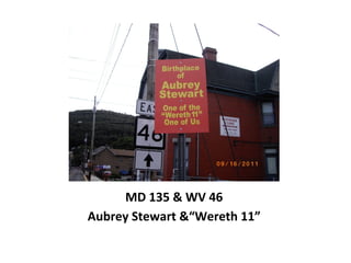
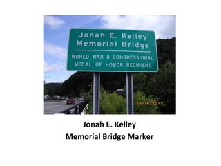
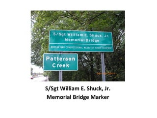
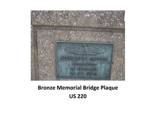
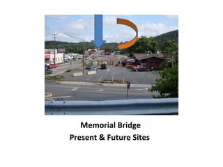
Mineral County WV
Highway Markers
Dr. David M. Gillespie
Mineral County, West Virginia
Keyser WV
West Virginia Highway Markers
Glove Box Size
Paperback Edition
Published in 1967
Marking Our Past
Glove Box Size
2002 Paperback Edition
Joe Geiger: Project Manager and Editor
Frontier Forts
Along the Potomac
West Virginia Forts
David M. Ansel, p. xi
Fort Ohio
WV 28 Ridgeley
Fort Ohio
Fort Built @ 1750
Fort Sellers
Just Beyond This Intersection
Fort Sellers
WV 28 Intersection
Fort Sellers
WV28 S of Ridgeley
Fort Sellers
Surveyed in 1748
Fort Ashby
WV 28 & WV 46
Fort Ashby
Named for Col. John Ashby
Fort Ashby
Marker Erected 1963
Intersection
Rt 28 & Rt 46
Parking LotParking Lot
Fort Ashby
Erected in 1755
Fort Ashby
Restored in 1939
Fort Ashby
WV 46
Washington’s Host Missing
WV 46 & Rt 9
Missing 2011
Commemorating Abraham Johnson
Washington’s Host Marker Text
• At Reese’s Mill, ruins of the home of Abraham
Johnson, who entertained George Washington &
surveying party in 1748. Johnson appeared in
Patterson Creek Valley in 1735 and in 1740 and in
1750 became an official of the Ohio Company.
Averell’s Raid/Keyser
Front of Grand Central
Averell’s Raid
Gen. W. W. Averell
Keyser
Changed Hands 14 times
Potomac State College
US 220 (Mineral St & State St)
Carskadon Mansion
US 220 (S Mineral St)
Averell’s Raid/Keyser
US 220 (S Mineral St & Carskadon Rd)
Averell’s Raid/Keyser
US 220 (S Mineral St & Carskadon Rd)
Claysville Church
US 50/WV 93
Claysville Church
Mineral County Historic Landmark
Claysville United Methodist Church
Constructed in 1850
Claysville Church
Highway Marker 1974
Oriskany-Helderberg
WV 46 2 Miles E of Keyser
US 50 S of New Creek
Oriskany-Helderberg Marker Text
• Massive sandstone at top of this exposure is the
Oriskany and the limestone in the quarry is the
Helderberg of the driller & the geologist. The
“Oriskany Sand,” an important gas sand, has
produced in excess of a trillion cubic feet of gas in
WV.
Vandiver-Trout-Clause House
US 50/US 220 & County Rt 9
Near Ridgeville
Vandiver-Trout-Clause House
Located on a 1766 Fairfax Grant
Traveler’s Rest/Old Stone House
US 50
Traveler’s Rest Back View
Gifted to MCHF by Elizabeth (Dye)
Walker
Sloan House
US 50
Sloan House
Built in 1790
Don Redman
1900-1964
Don Redman
Highway Marker Erected in 2008
Gassaway Davis
Piedmont WV
Devonian Shale Missing
US 50 near Mineral/Hampshire
County Border
Devonian Shale Marker Text
• The carbonaceous shale exposed in the picnic area
is the Marcellus brown and black shale of the
driller. It yields large amounts of natural gas in
southern WV.
Dr. John Green 1750-1873
WV 42 & County Rt 4
Mayo & Savage
WV 46 Piedmont
Mayo & Savage Marker Text
• Near here, William Mayo, Thomas Savage & party
spent the winter of 1736, on their expedition for
the British king to determine the headwaters of the
Potomac River & fix the boundary between
Maryland and the lands of Lord Fairfax
WV Route 46
Between Keyser & Piedmont
Mayo & Savage Marker
Text Same as Highway Marker
Skip Gates
1950-
WV Rt 46
Don Redman & Aubrey Stewart
MD 135 & WV 46
Aubrey Stewart &“Wereth 11”
Jonah E. Kelley
Jonah E. Kelley
Memorial Bridge Marker
S/Sgt William E. Shuck, Jr.
Memorial Bridge Marker
Bronze Memorial Bridge Plaque
US 220
Memorial Bridge
Present & Future Sites

Mineral county wv highway markers