
Downloaded 12 times
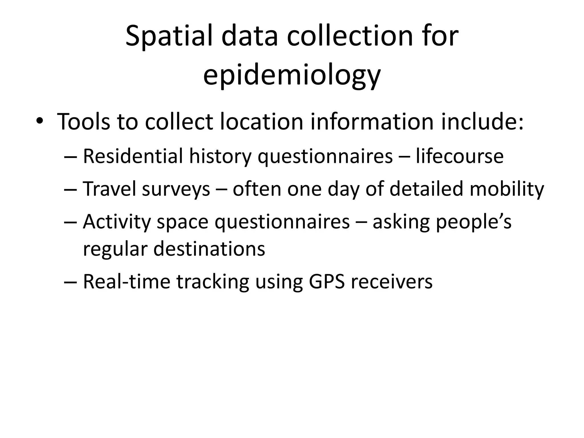
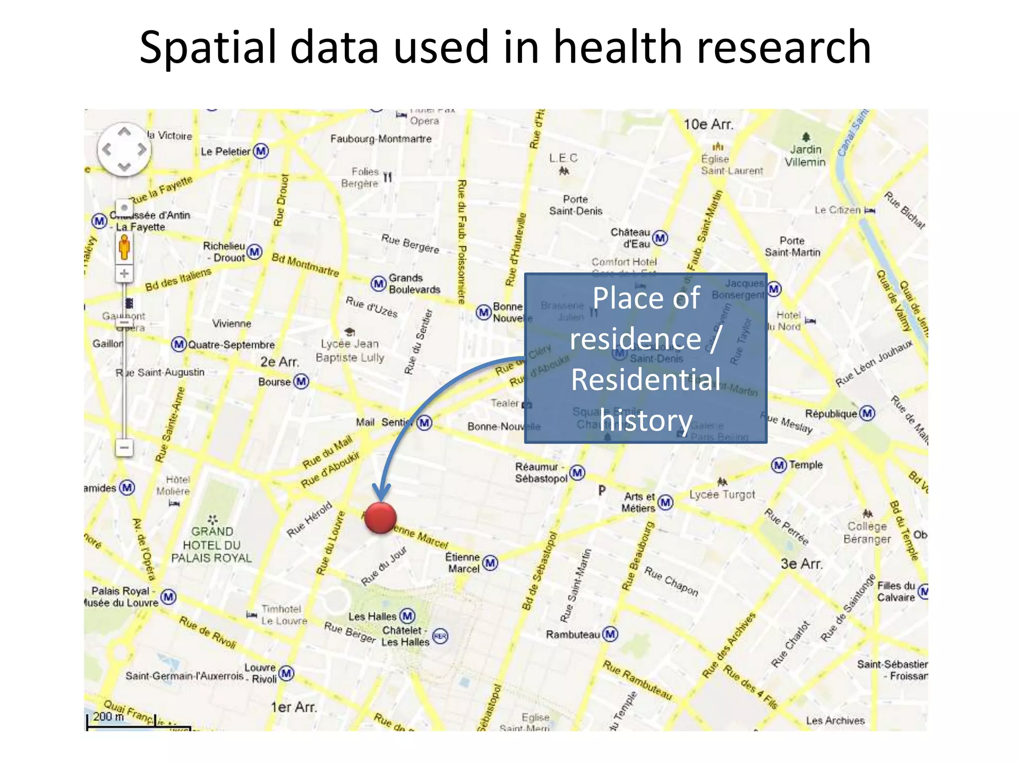
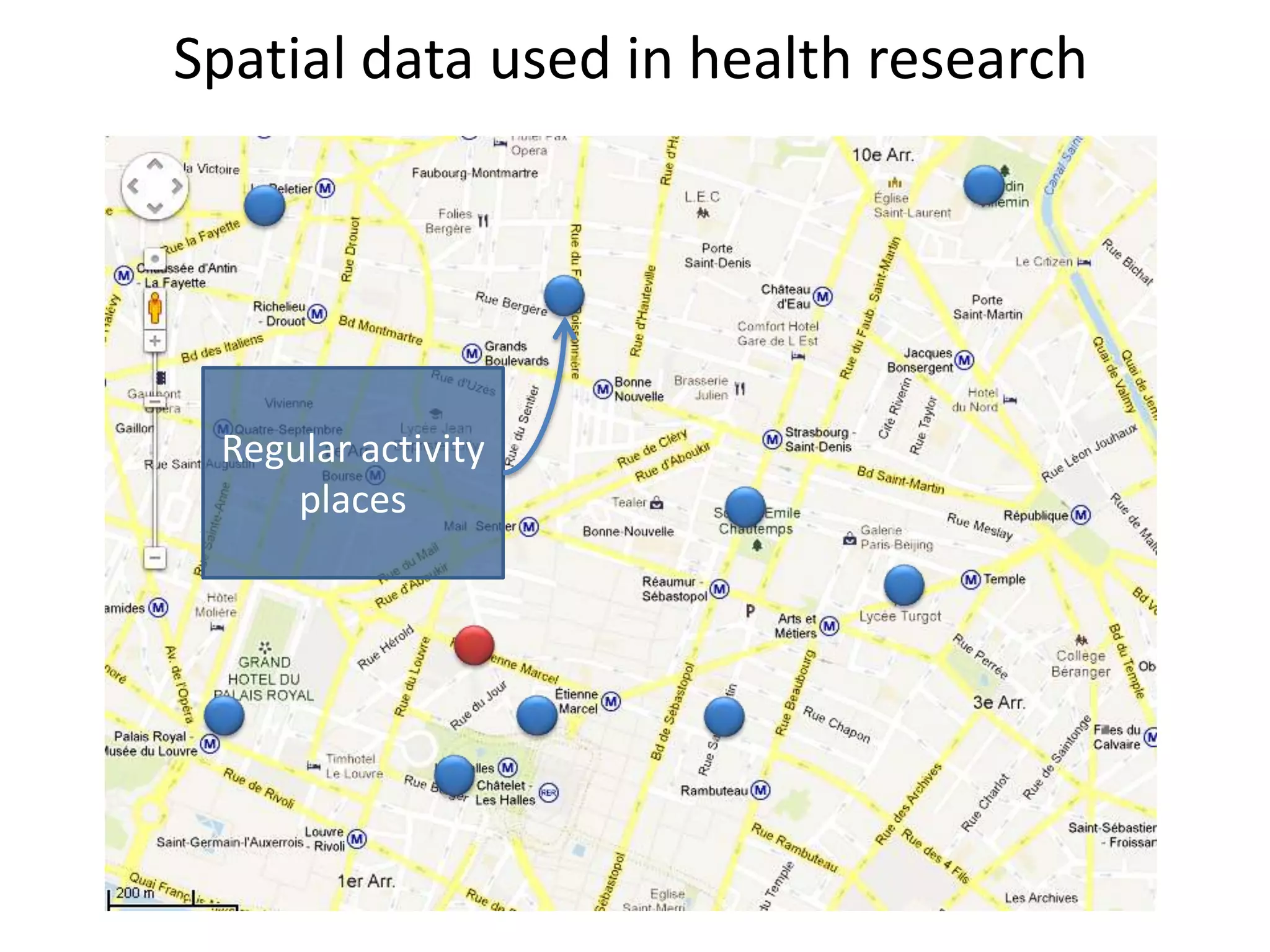

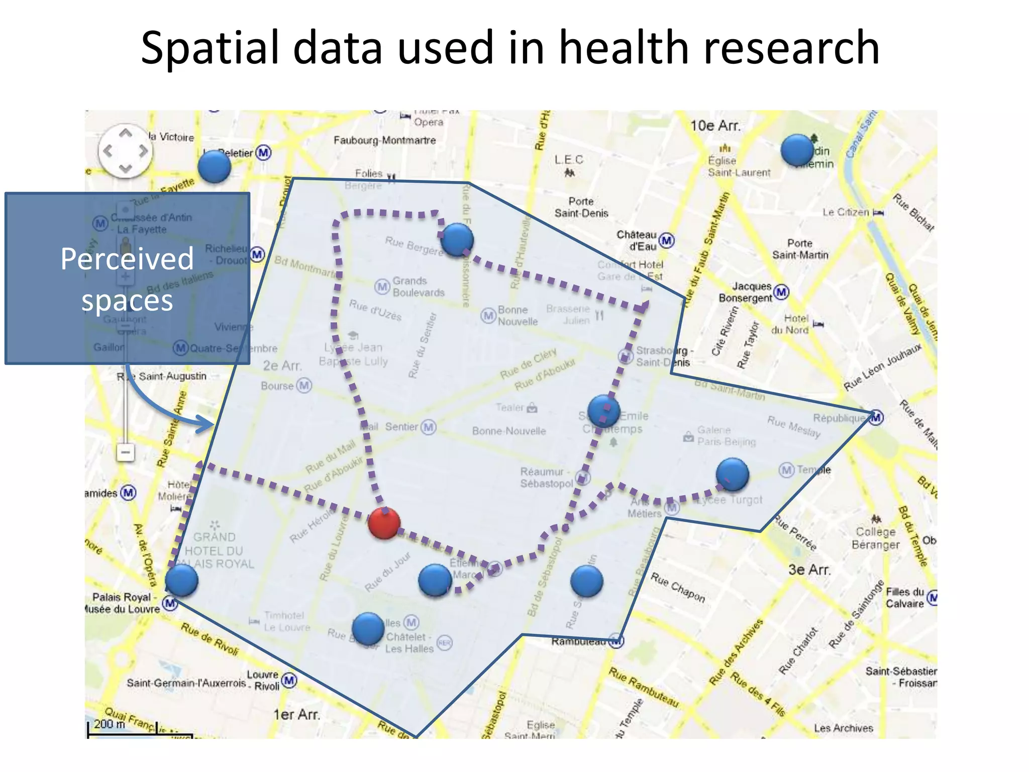
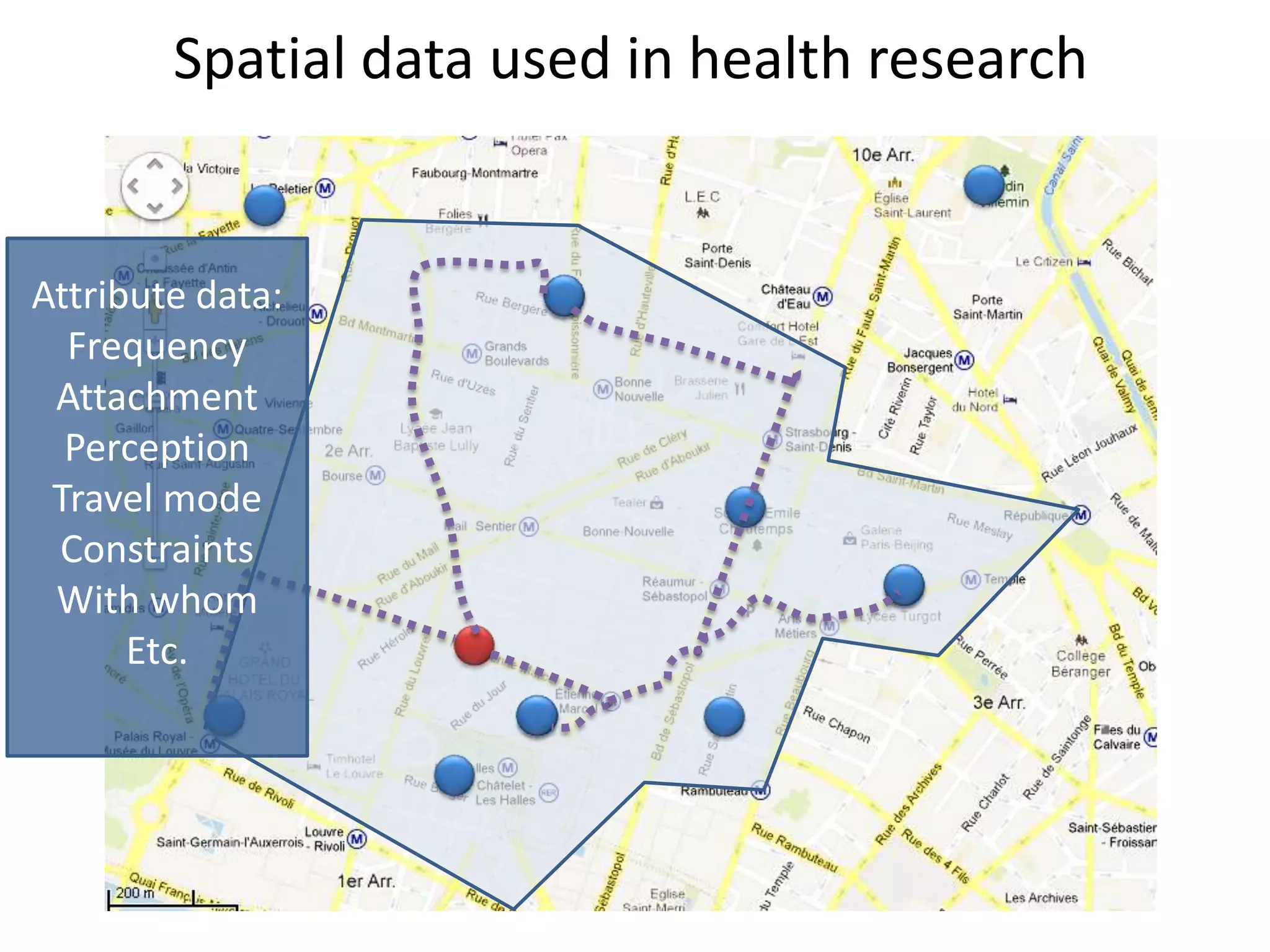
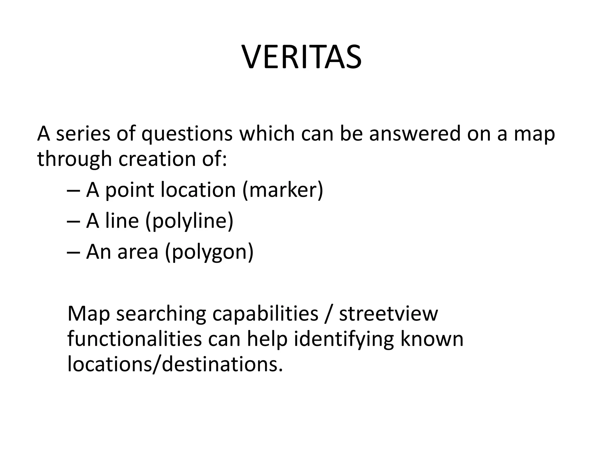
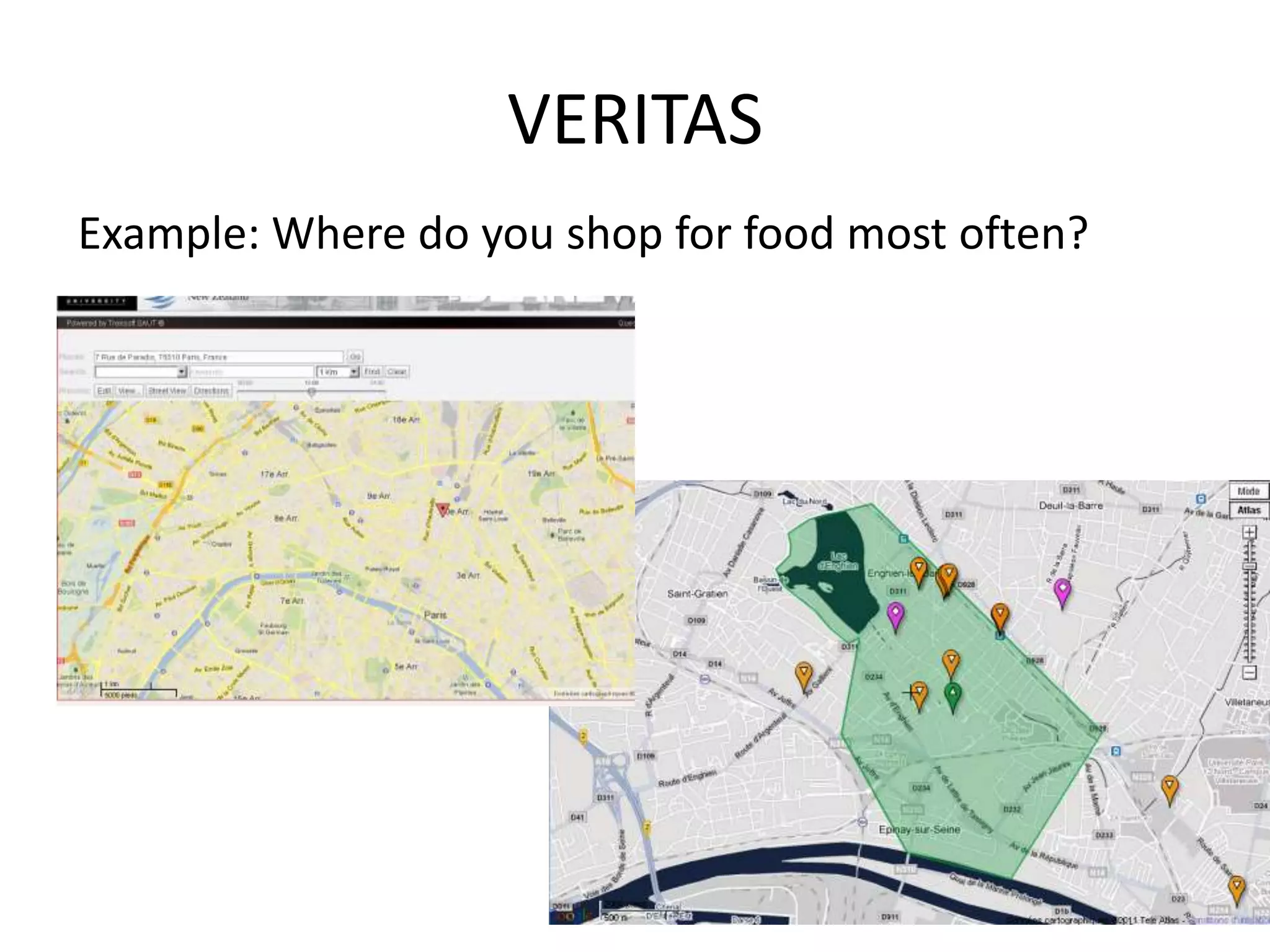

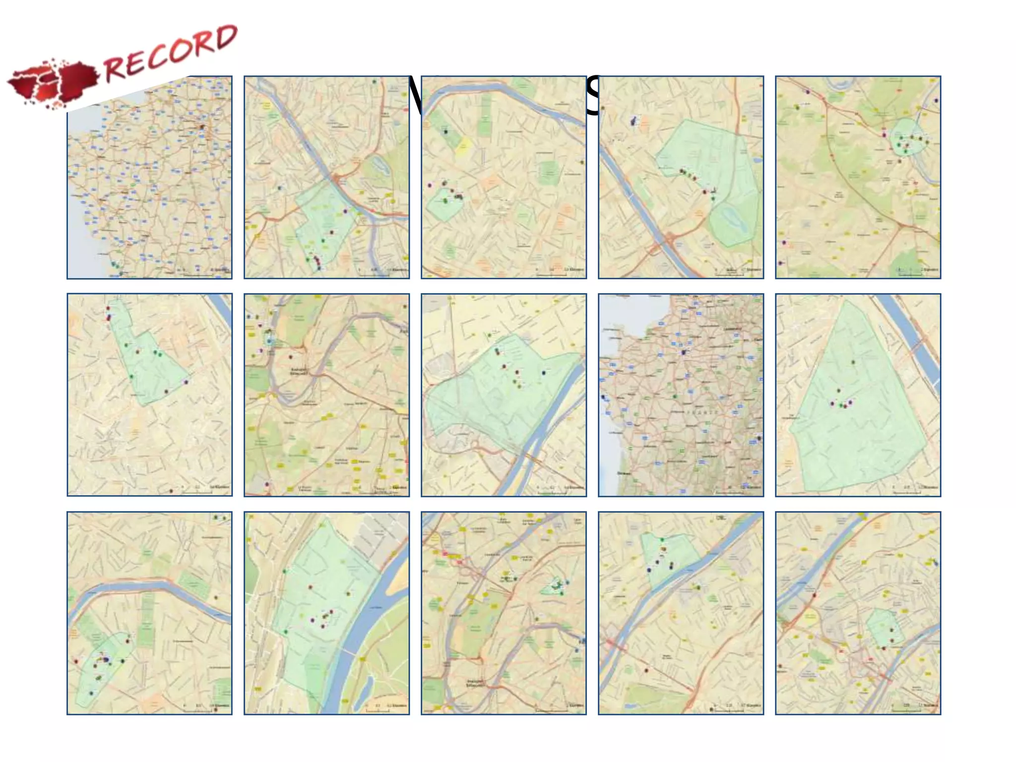


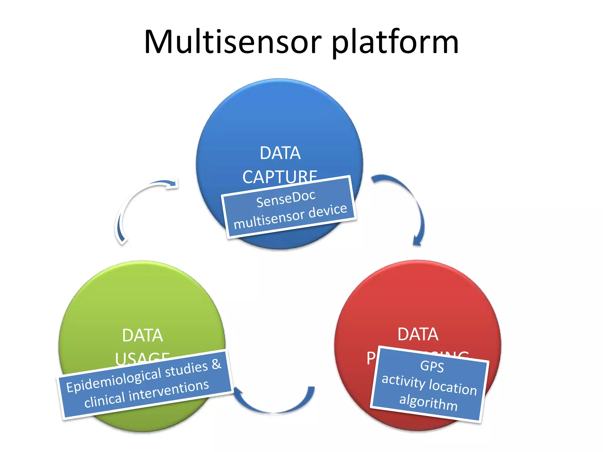
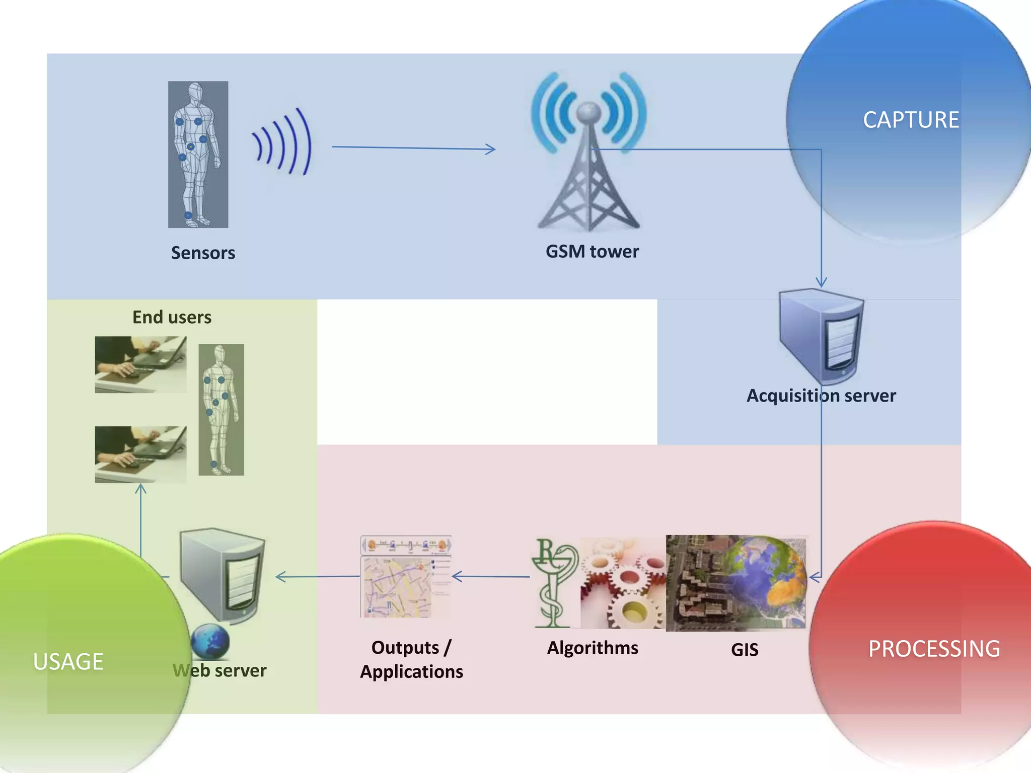

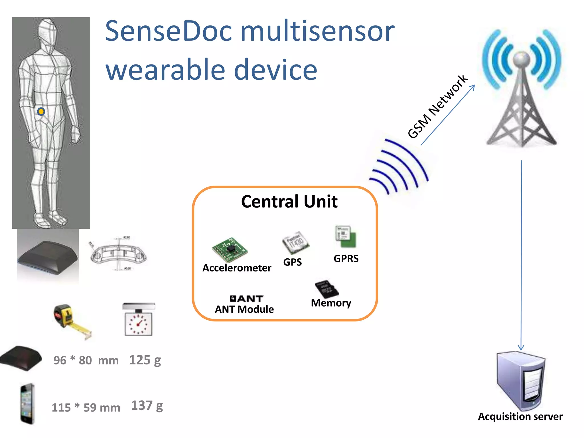

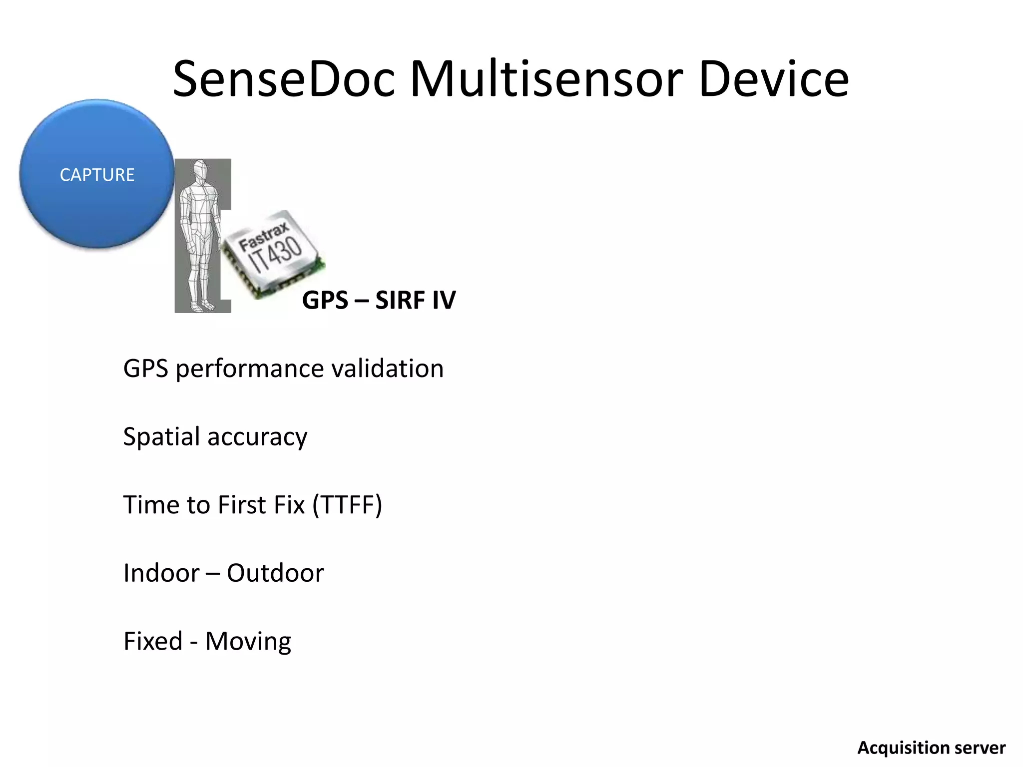
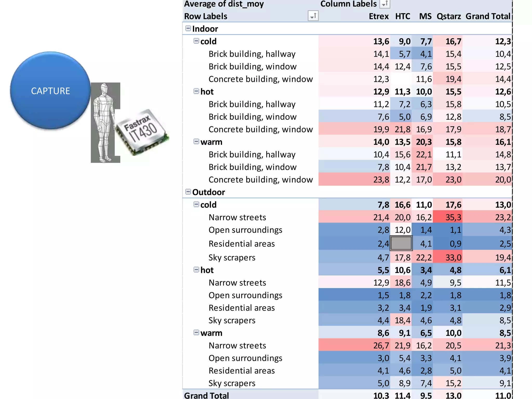


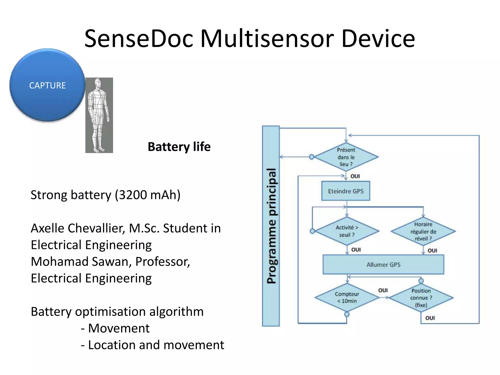
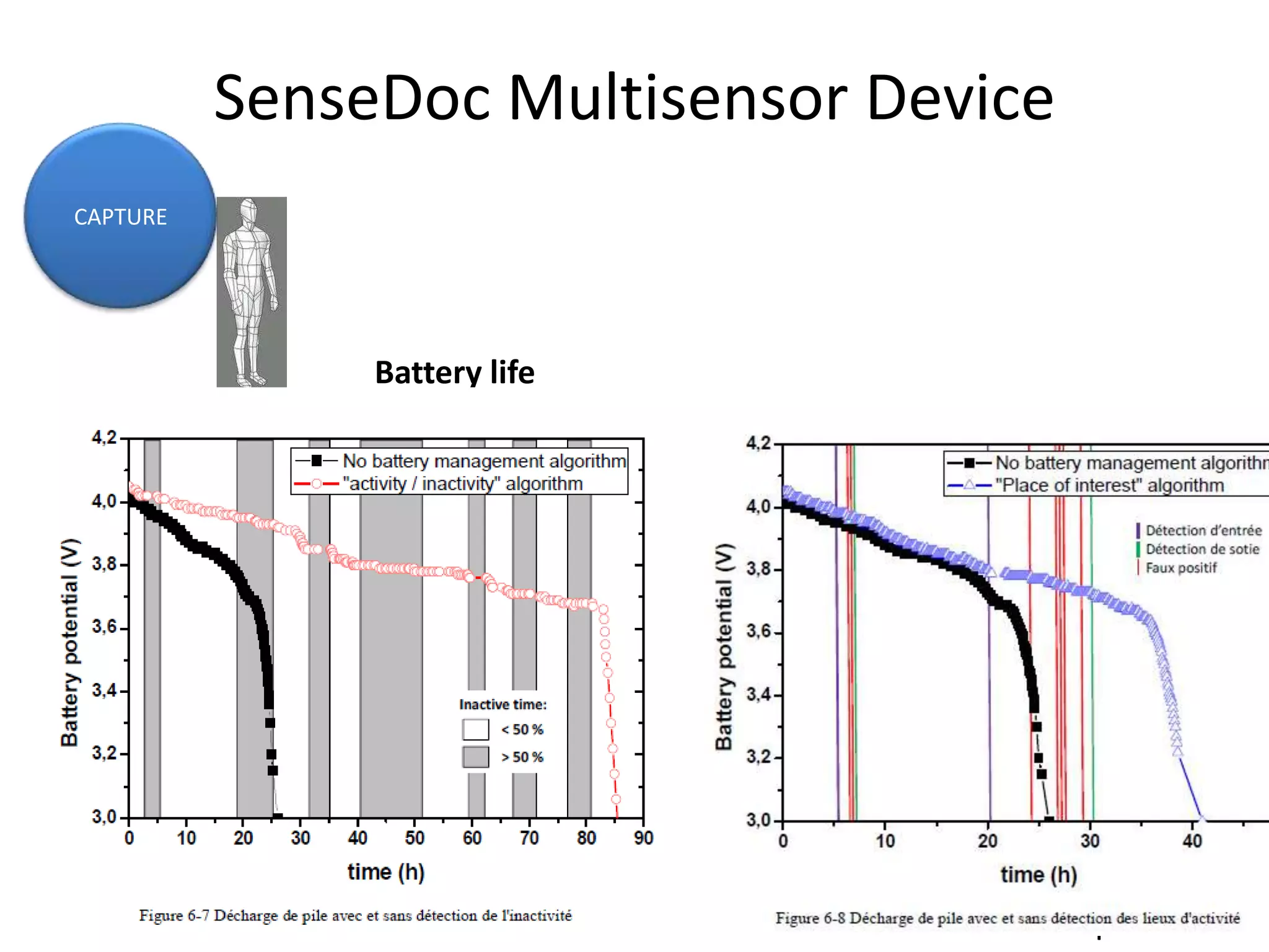


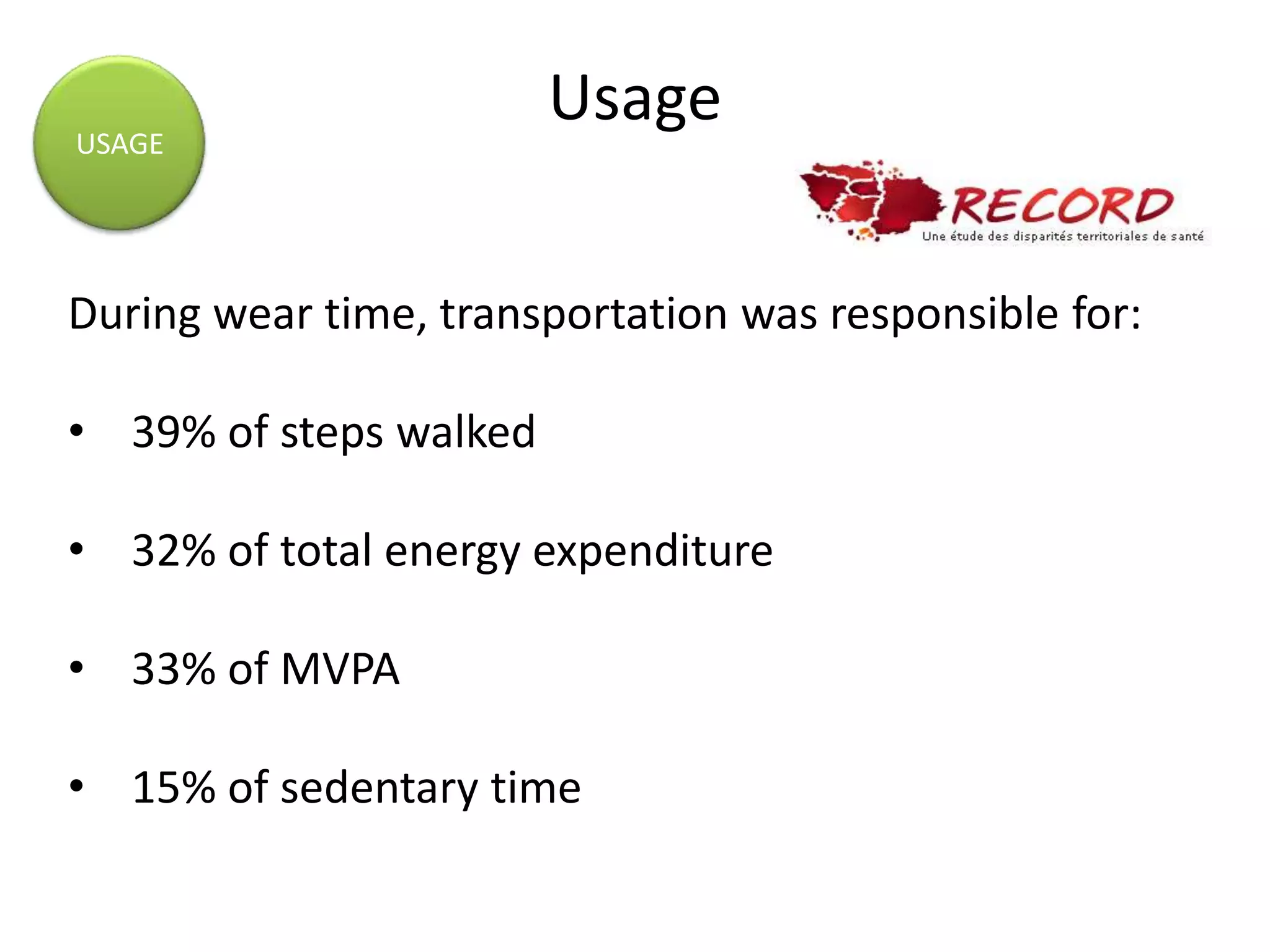
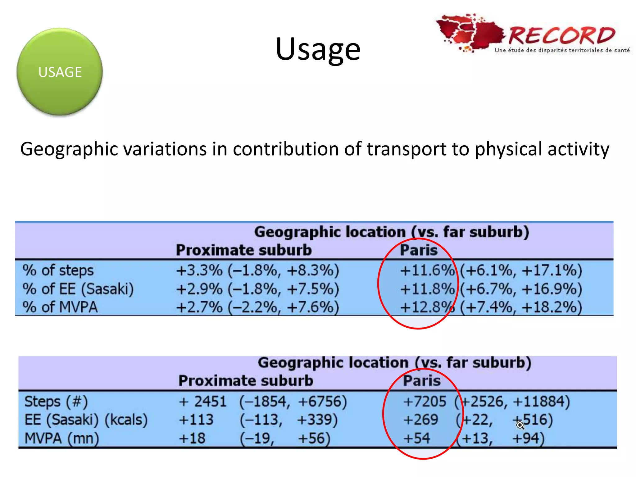


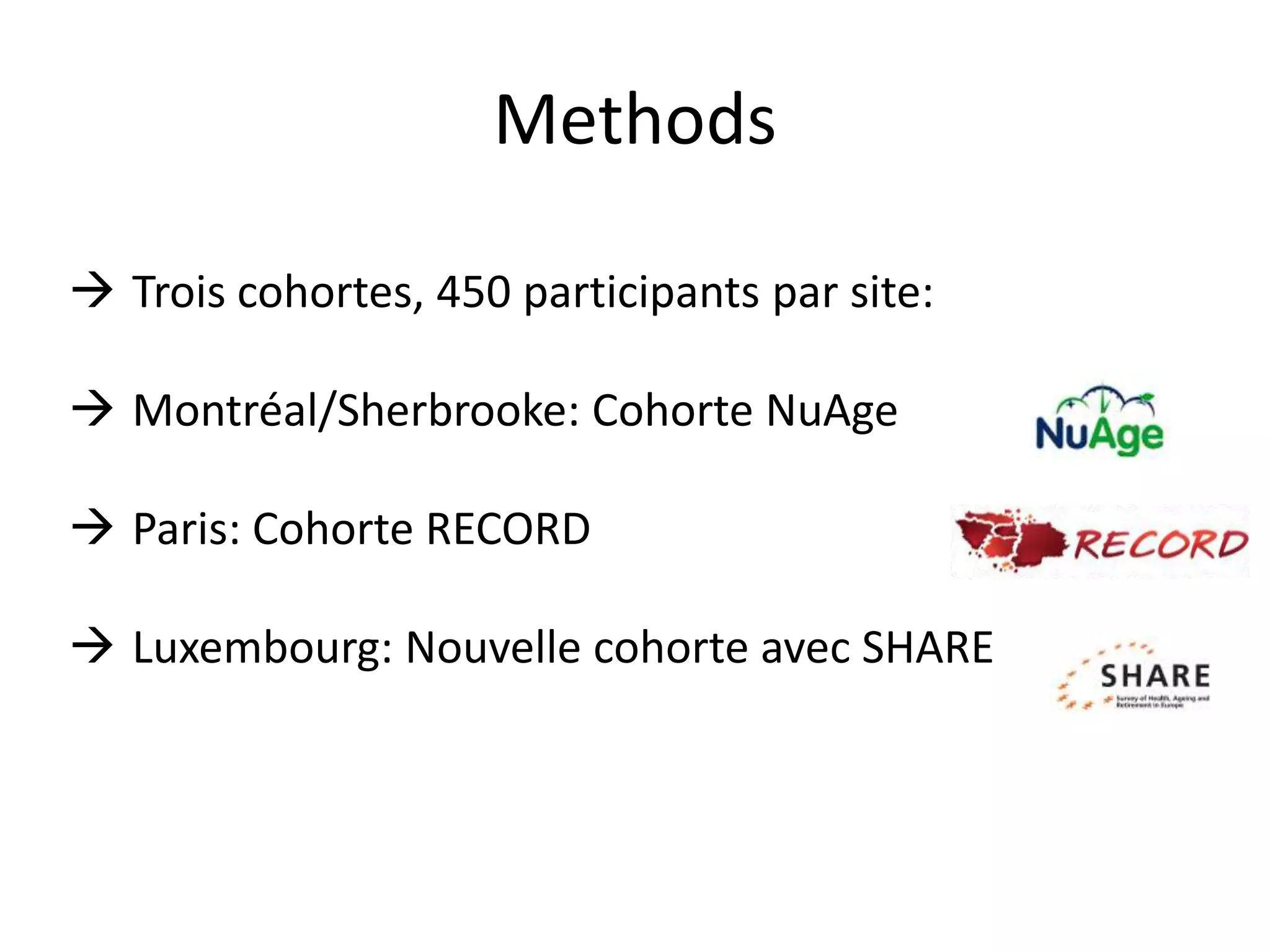


This document summarizes a presentation on methods for collecting spatial data in epidemiological research. It discusses tools for collecting location information like residential history questionnaires and GPS tracking. It presents the VERITAS online mapping questionnaire used to collect spatial data on regular destinations. An example of its use in the RECORD study is provided. A multisensor platform for real-time tracking of mobility, physical activity, and physiology is described. Issues around data processing and using spatial data to understand environmental exposures and health behaviors are also covered.


![Vibe Coding vs. Spec-Driven Development [Free Meetup]](https://cdn.slidesharecdn.com/ss_thumbnails/vibecodingvsspecdrivendevelopment-251209105622-43f455e7-thumbnail.jpg?width=640&height=640&fit=bounds)


