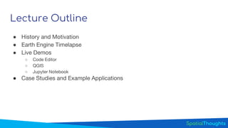
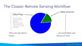
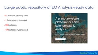
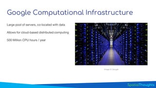
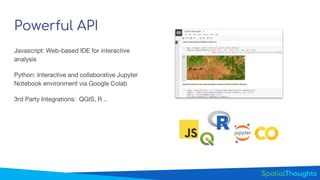
Introduction to Google Earth Engine- GEE helping in image analysis.pptx
1. CC BY 4.0
Introduction to Google Earth Engine
Ujaval Gandhi
ujaval@spatialthoughts.com
End-to-End Google Earth Engine
2. Lecture Outline
● History and Motivation
● Earth Engine Timelapse
● Live Demos
○ Code Editor
○ QGIS
○ Jupyter Notebook
● Case Studies and Example Applications
3. The Classic Remote Sensing Workflow
Download data
Odd file formats
Metadata
Bad/missing data
Clouds & shadows
Atmosphere & haze
Calibration
...
This can be done
once ..
...so scientists can
focus on this.
Data science!
Data Prep
4. Google Earth Google Earth Engine
3D Viewer for high-resolution imagery.
Targeted for everyone!
Cloud-based platform for remote
sensing. Targeted for scientists and
researchers
10. Powerful API
Javascript: Web-based IDE for interactive
analysis
Python: Interactive and collaborative Jupyter
Notebook environment via Google Colab
3rd Party Integrations: QGIS, R ..
Editor's Notes
This slide shows three images of the Amazon rainforest, spaced about a decade apart, as shown in Earth (NOT Earth Engine). From left to right, you can see almost unentered rainforest, logging starting to occur, and substantial deforestation. The deforestation is “discoverable” in Google Earth, but it’s not easily quantifiable. This observation led to the development of Google Earth Engine. Stakeholders in this region requested help from Google to develop a system through which deforestation could be quantified.
The most efficient way to make the data accessible and useful is to "move the question to the data." Jim Gray elaborated on this idea in the influential book by Hey et al., director of research at Microsoft. Earth Engine implements this plan.
To use Earth Engine, you just need an Internet connection and a browser. Git-based script management, 250Gb* of storage for your raster/vector data.