Download to read offline
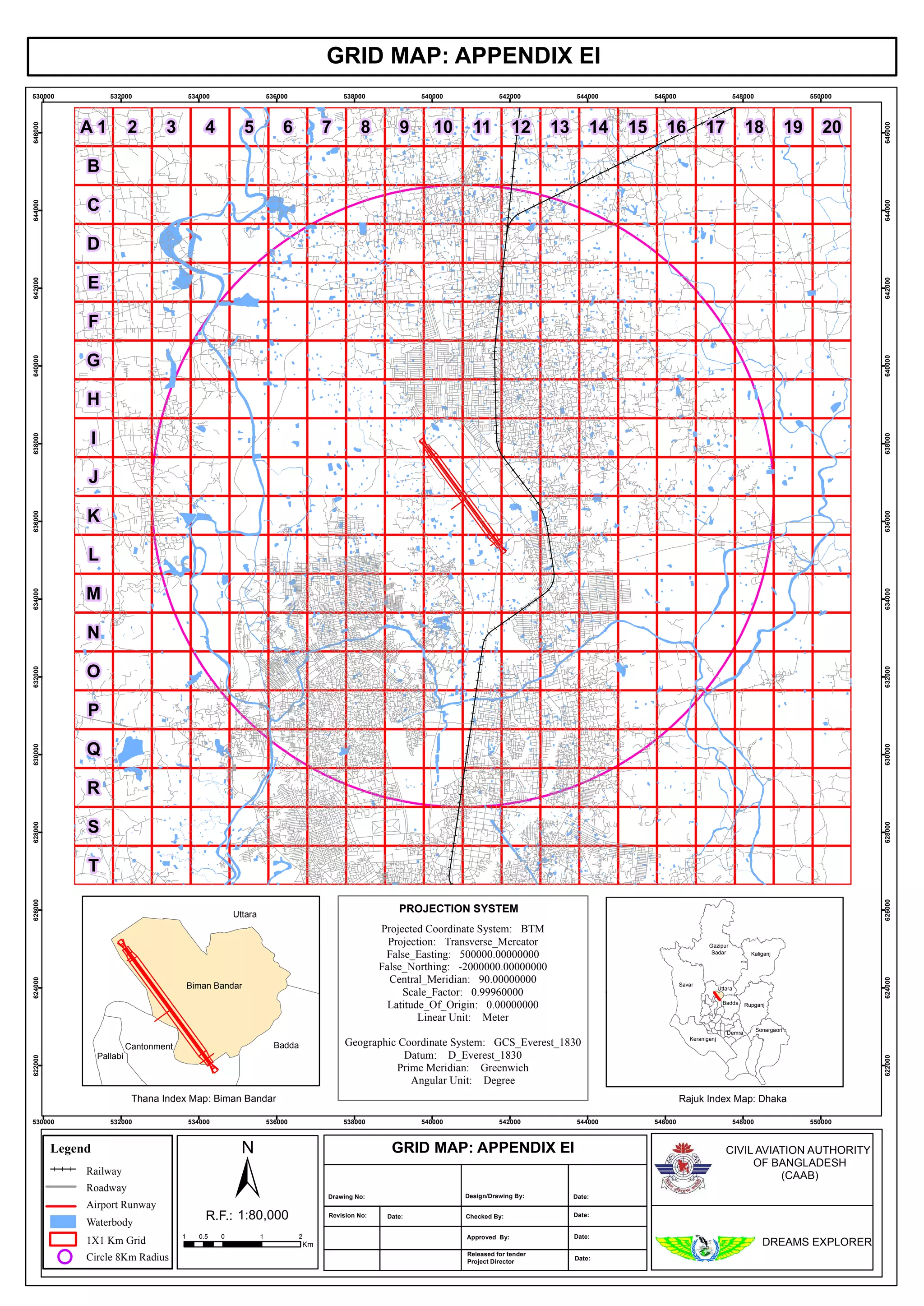

This document contains a grid map with coordinates ranging from 530000 to 646000. It includes a legend with symbols for an 8km radius circle, 1x1km grid, waterbody, airport runway, roadway, railway, and index maps for Biman Bandar and Rajuk Dhaka. The grid map is part of an appendix for the Civil Aviation Authority of Bangladesh and is labeled Drawing No. with revision details.


