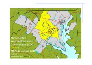
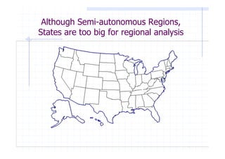
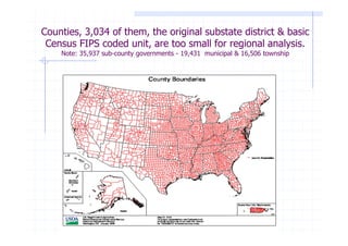
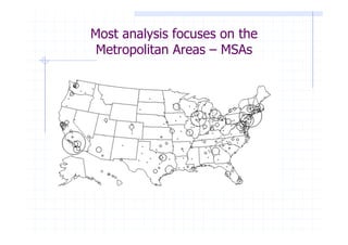
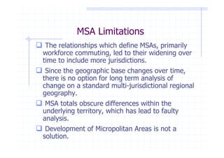
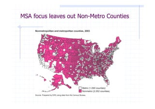
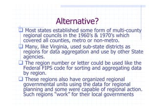
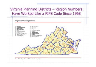
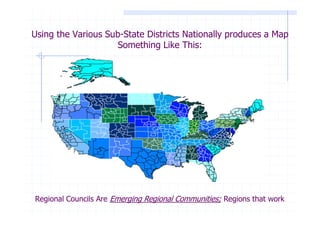
Download to read offline
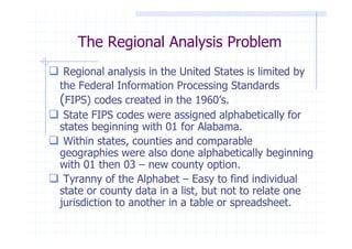
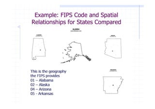
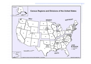
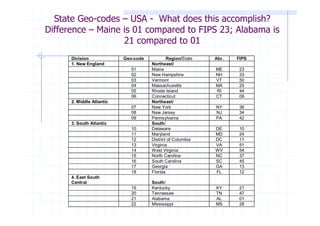
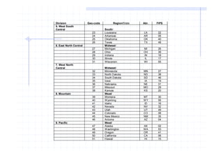
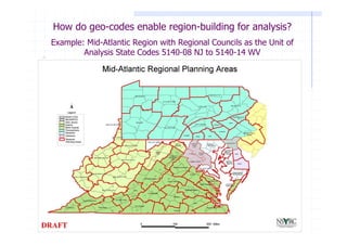
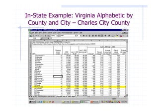
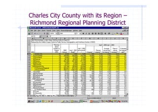
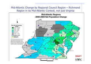
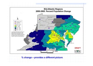
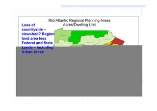
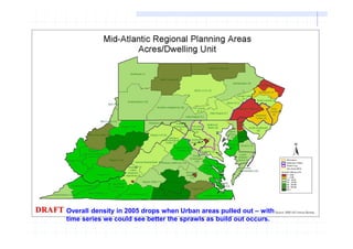
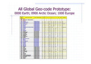
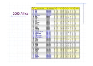


This document proposes a new global region-builder geo-code system to enable regional analysis across jurisdictions. The current Federal Information Processing Standards (FIPS) codes from the 1960s limit regional analysis by alphabetically coding states and counties. The proposed system addresses this by assigning numeric codes to increasingly larger geographic regions based on proximity, from continents down to counties. It includes examples applying the codes to analyze population changes in Virginia regions and densities excluding urban areas. The goal is to engage researchers and practitioners to develop this system for multi-regional data analysis and comparison over time.


