GIS en CAD(Civil3D, ArcGIS for AutoCAD)
Hans Lammerts
oktober 2012
2.
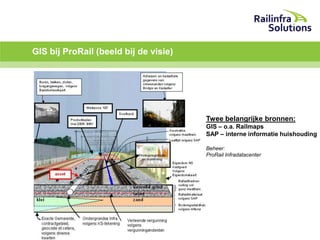
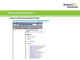
GIS bij ProRail(beeld bij de visie)
..
Twee belangrijke bronnen:
GIS – o.a. Railmaps
SAP – interne informatie huishouding
Beheer:
ProRail Infradatacenter
3.
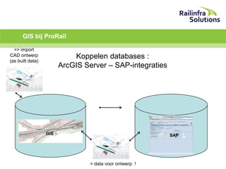
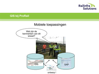
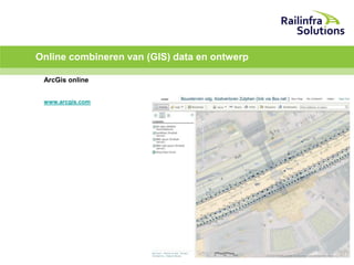
GIS bij ProRail
=>import
CAD ontwerp
(as built data)
Koppelen databases :
ArcGIS Server – SAP-integraties
GIS
SAP
= data voor ontwerp !
ArcGIS for AutoCAD
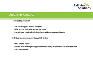
1.GIS data gebruiken
-
Als onderlegger tijdens ontwerp
-
BBK spoor, BBK-niet spoor als ‘map’
-
Luchtfoto’s van ProRail direct beschikbaar op coordinaten!
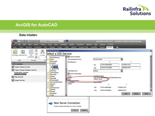
2. Ontwerp online maken via ArcGIS online
-
Data ‘in the cloud’
-
Relatie met de omgeving (bovenaanzichten) is op iedere locatie in te zien,
via smartphone!
ArcGIS for AutoCAD
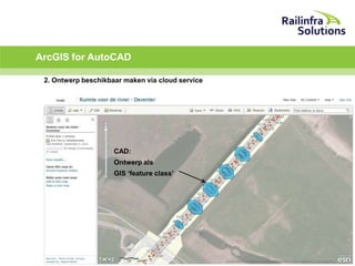
2.Ontwerp beschikbaar maken via cloud service
CAD:
Ontwerp als
GIS ‘feature class’
11.
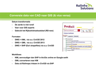
Conversie data vanCAD naar GIS (& vice versa)
Datum transformatie
-
De aarde is niet rond!
-
Voer voor GIS experts
-
Gebruik het Rijksdriehoeksstelsel (RD-new)
Formaten
-
DWG > KML via o.a. Civil3D 2012
-
DWG > GML via o.a. Civil3D 2013
-
DWG > SHP (Esri shapefiles) via o.a. Civil3D
Workflows
-
KML eenvoudiger dan SHP in ArcGis online en Google earth
-
GML converteren naar KM
-
Data uit Railmaps inlezen in Civil3D via SHP