Download to read offline
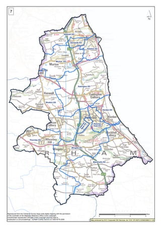

This document is a map of electoral divisions in County Durham, England. It shows 12 electoral divisions including Blackhalls ED, Shotton ED, Easington ED, Wingate ED, Thornley ED, Murton ED, Seaham ED, Horden ED, Dawdon ED, Peterlee East ED, Deneside ED, and Peterlee West ED. The map was produced by Durham County Council's corporate GIS services and is based on Ordnance Survey mapping with Crown Copyright.


