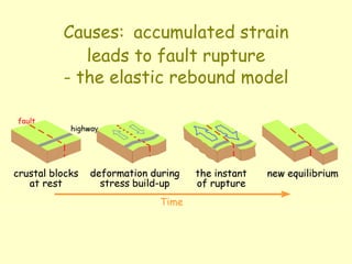
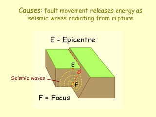
1) Earthquakes are caused by the accumulation of strain along faults until rupture occurs, releasing seismic energy.
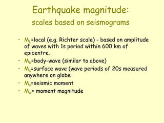
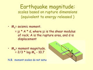
2) Earthquake magnitude is measured using several scales based on the amplitude and period of seismic waves, with the most commonly used being the Moment Magnitude scale.
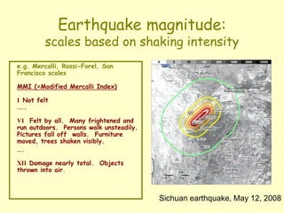
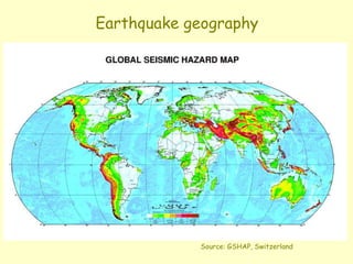
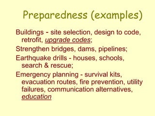
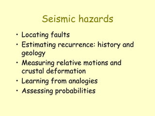
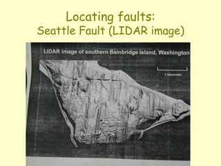
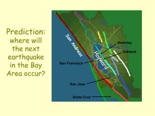
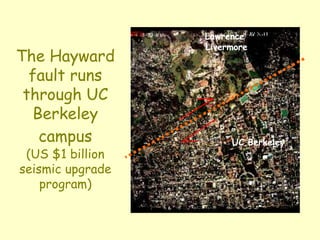
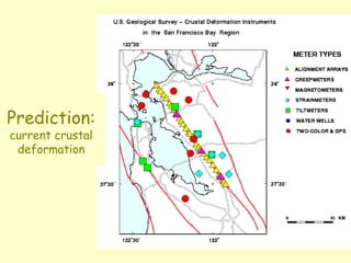
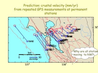
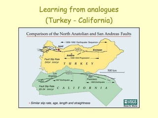
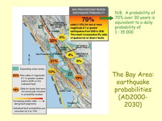
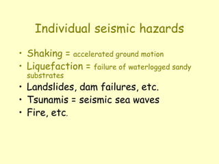
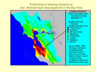
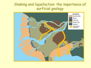
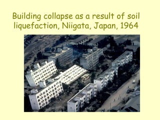
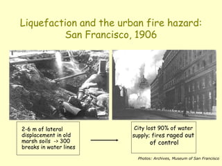
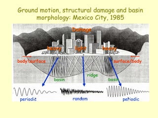
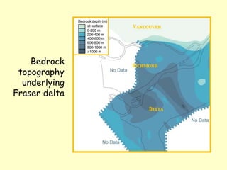
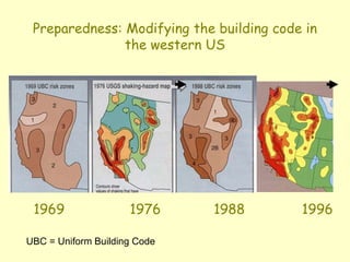
3) Earthquake geography and hazards assessment involves locating faults, estimating recurrence, measuring crustal deformation, assessing shaking intensity, liquefaction potential, tsunami risk and more to determine earthquake probabilities in a region.