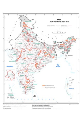
This document is a map showing the districts of Jammu and Kashmir, India from 2001 to 2011. It displays the names and boundaries of the districts. New districts that were created between 2001 and 2011 are highlighted. The map provides a visual representation of the territorial divisions of Jammu and Kashmir over that period of time.