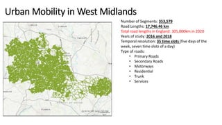
Downloaded 14 times
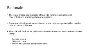
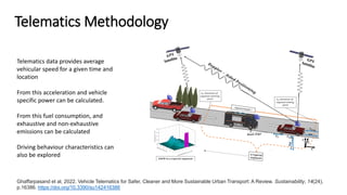
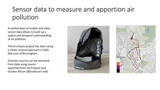
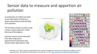
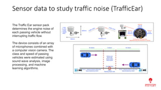
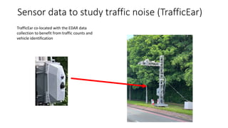
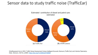
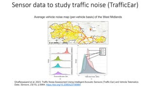

This document discusses using novel techniques like remote sensing, telematics data, and sensor data to measure vehicular pollutant concentrations and emissions at high spatial and temporal resolution. Combining data streams from different devices allows the generation of detailed maps of air pollution sources, levels, and how they change over time and location. While this offers potential benefits, integrating diverse data also raises privacy and ethical concerns that need addressing.