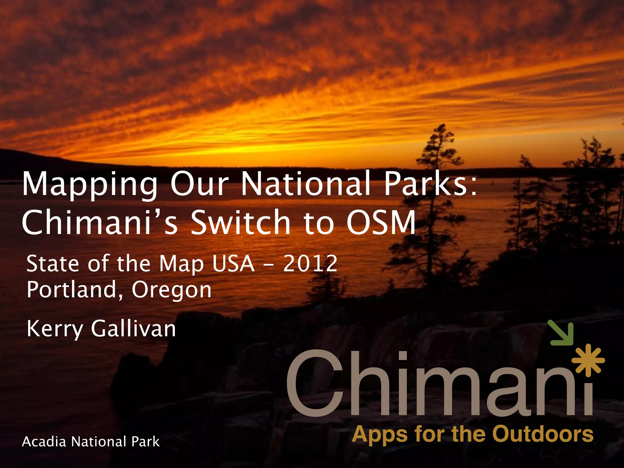
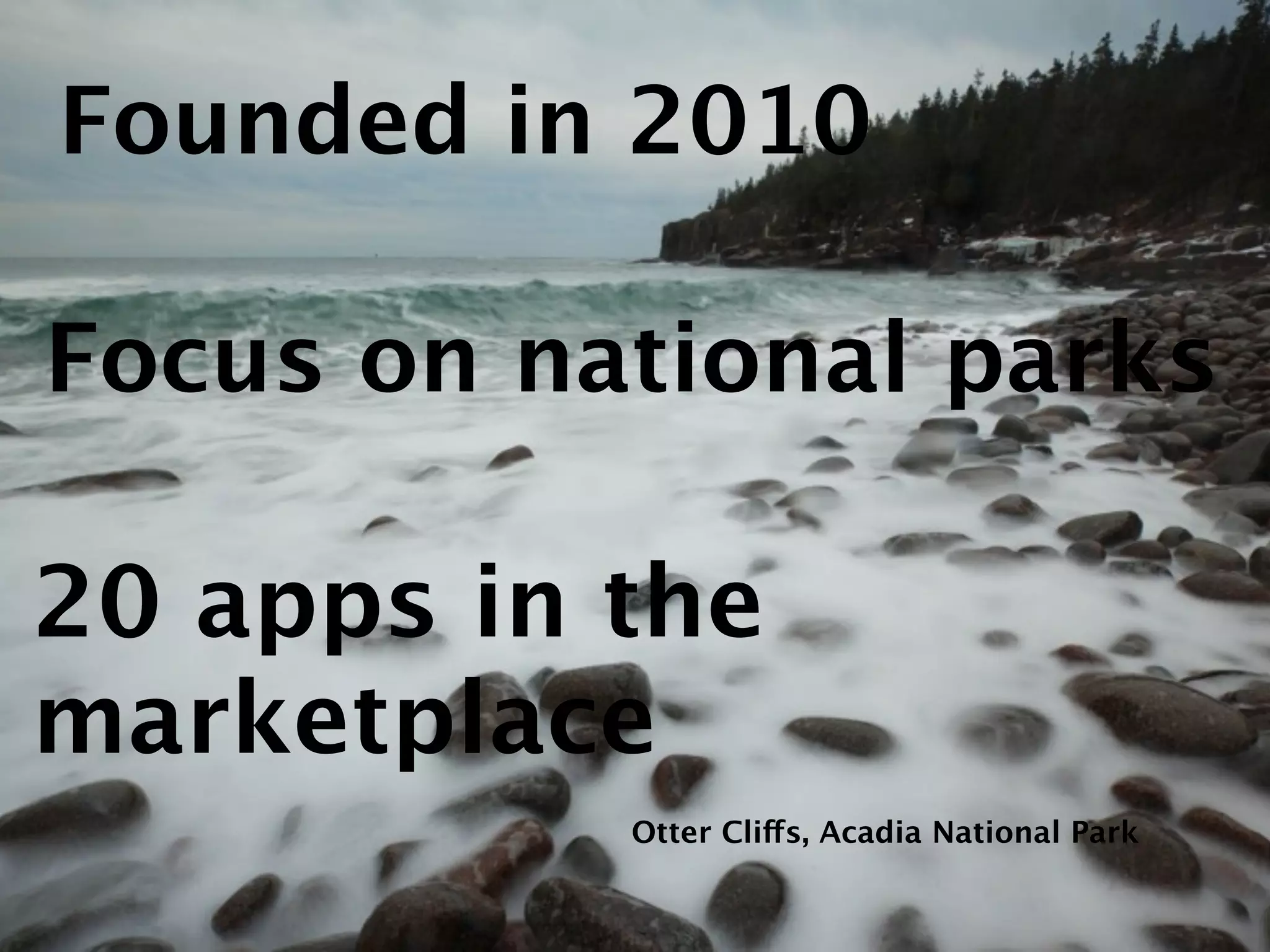
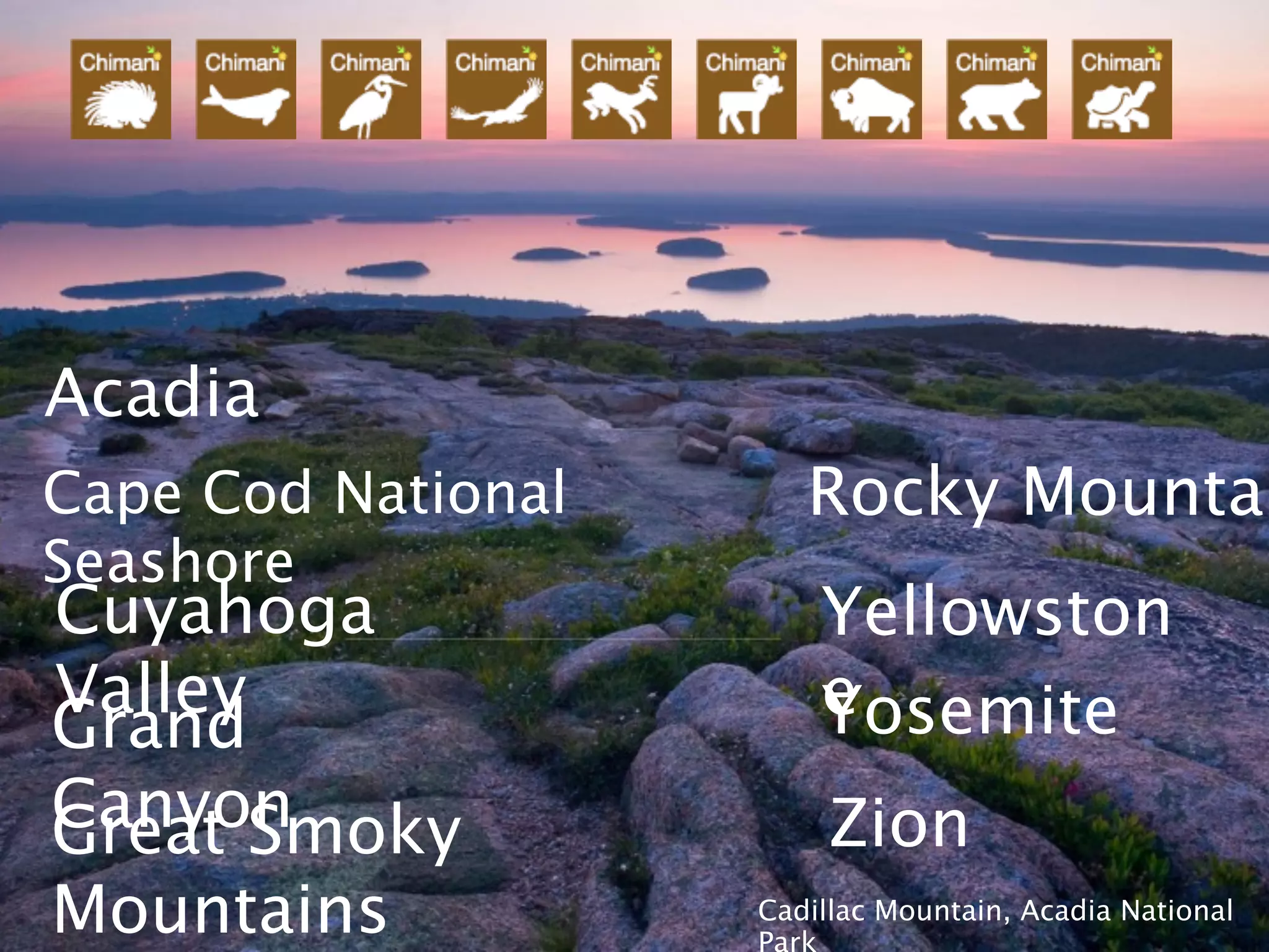
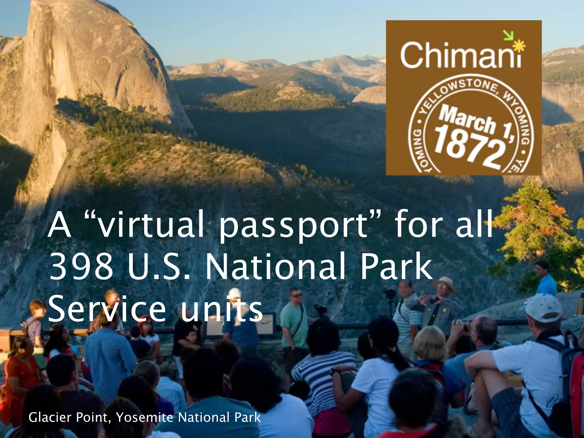
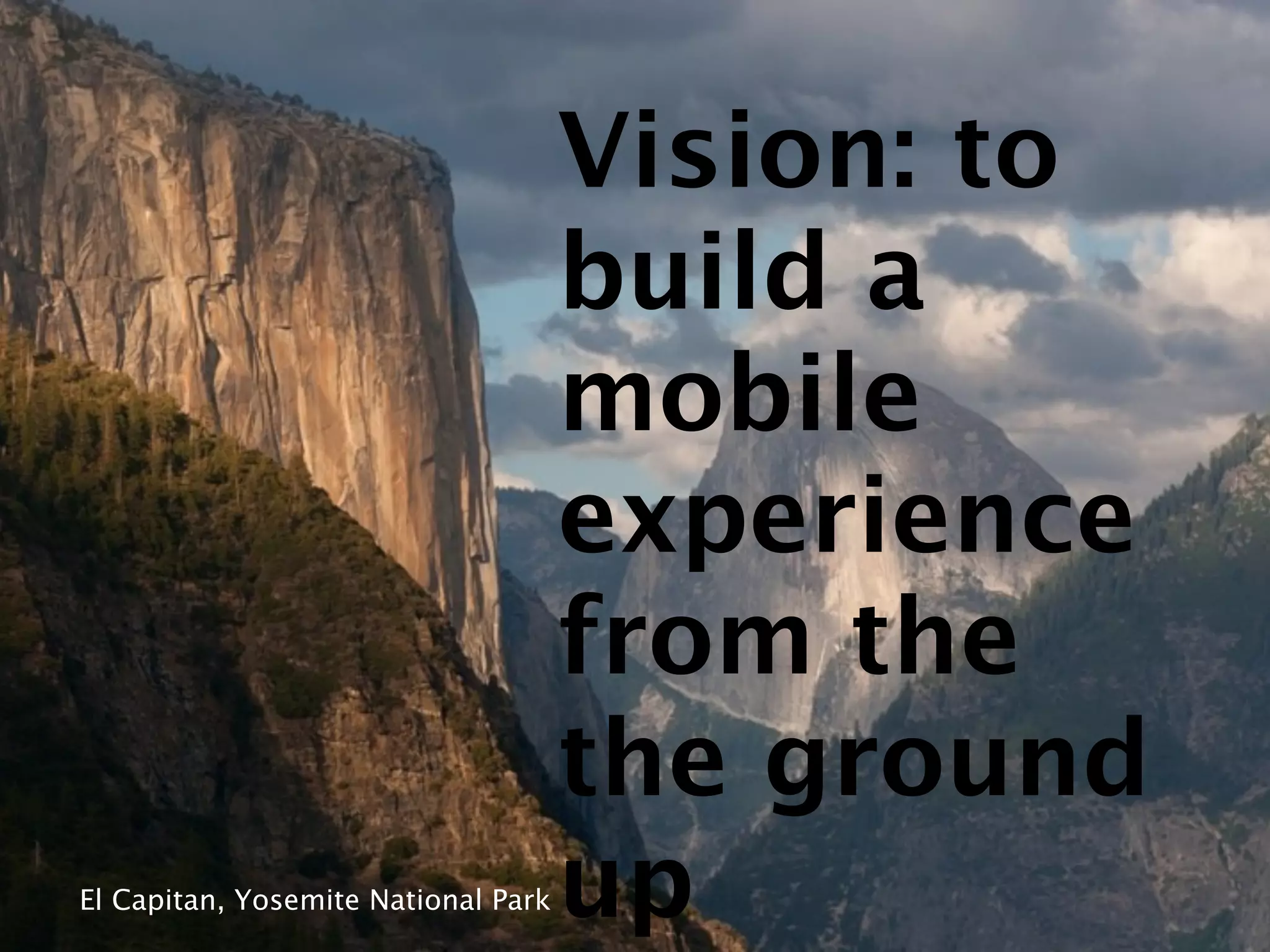
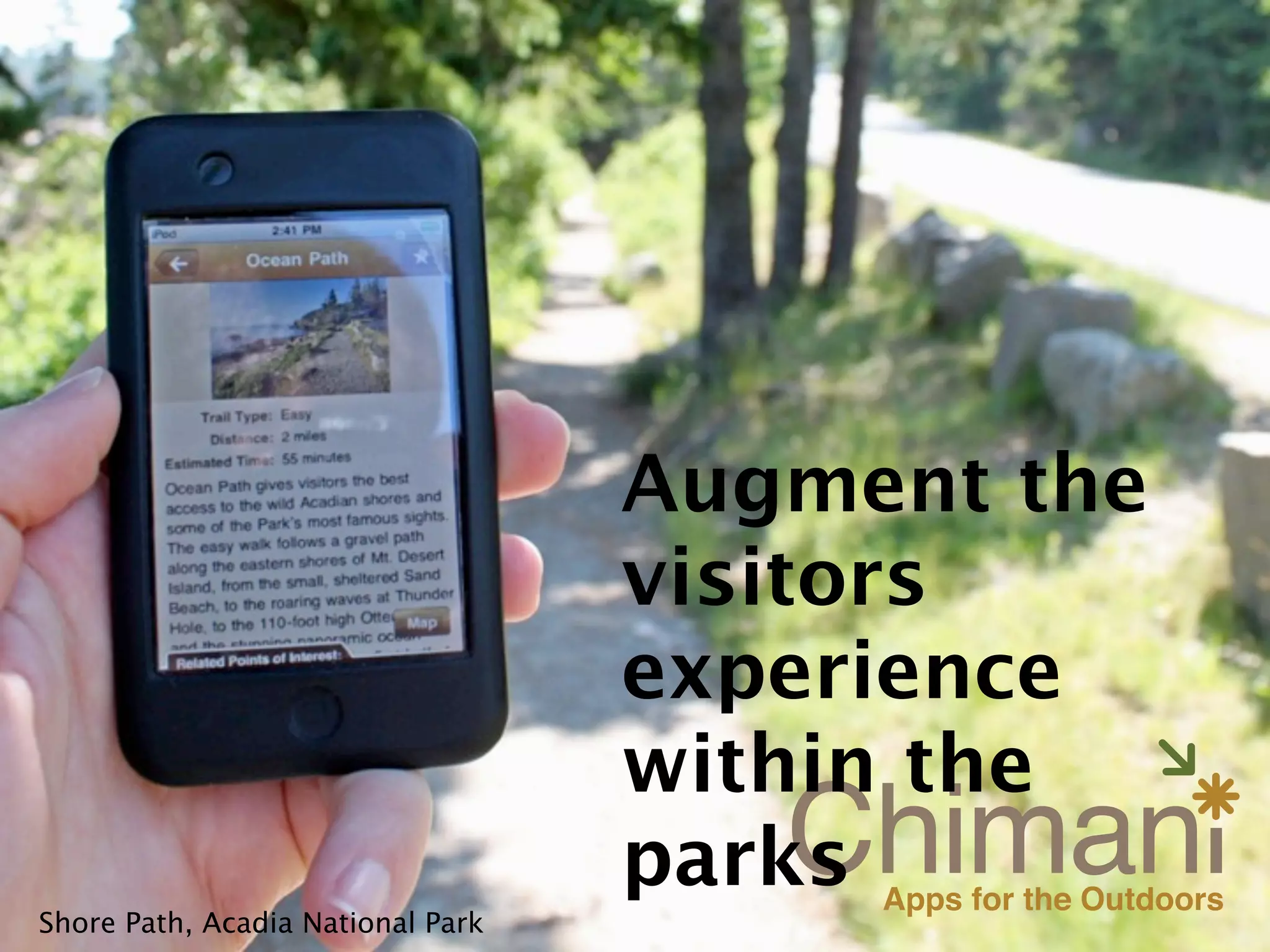
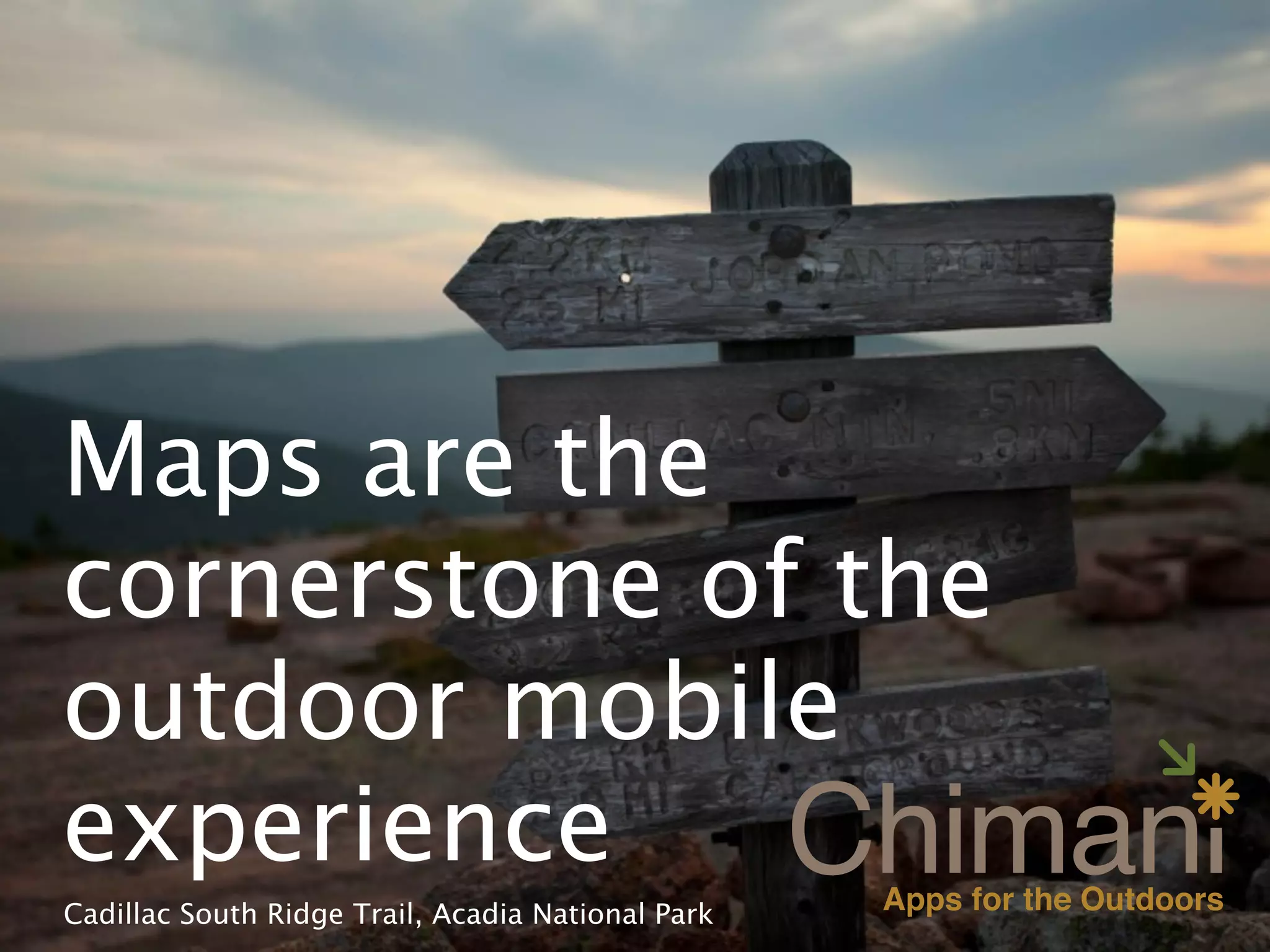
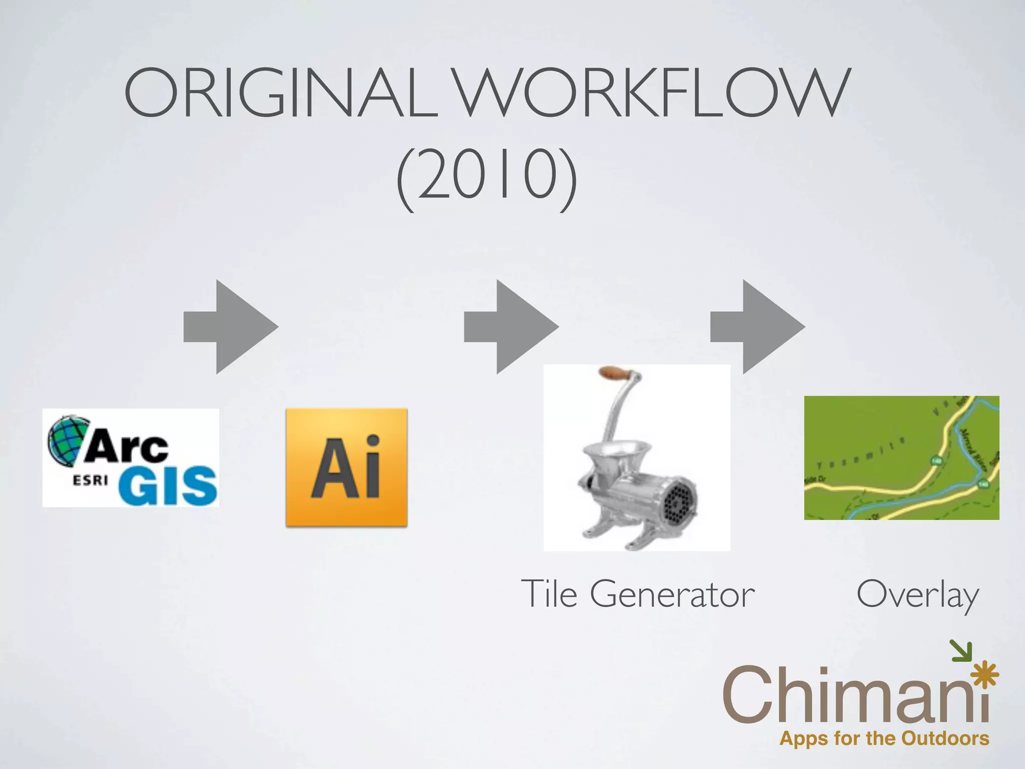
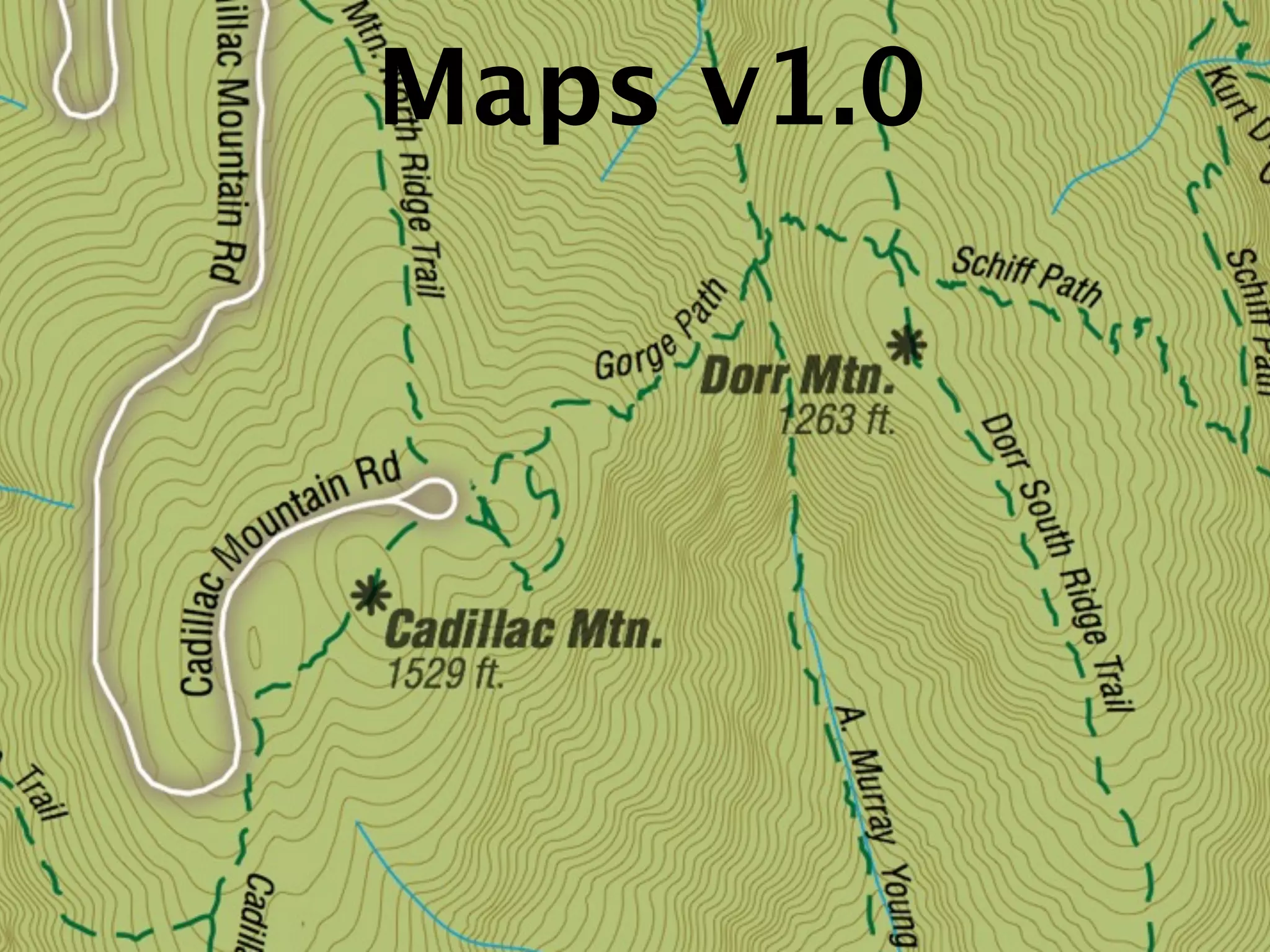
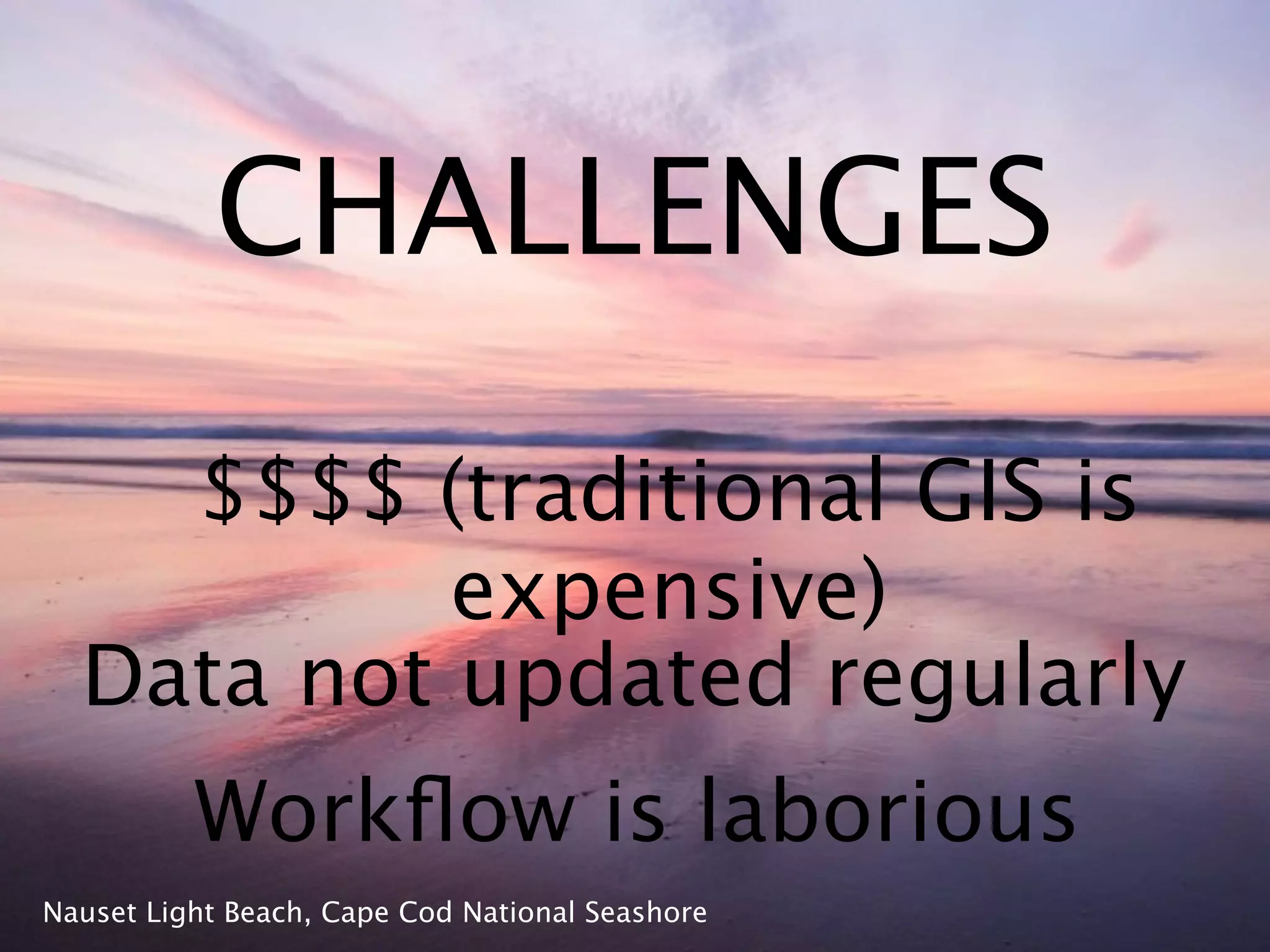
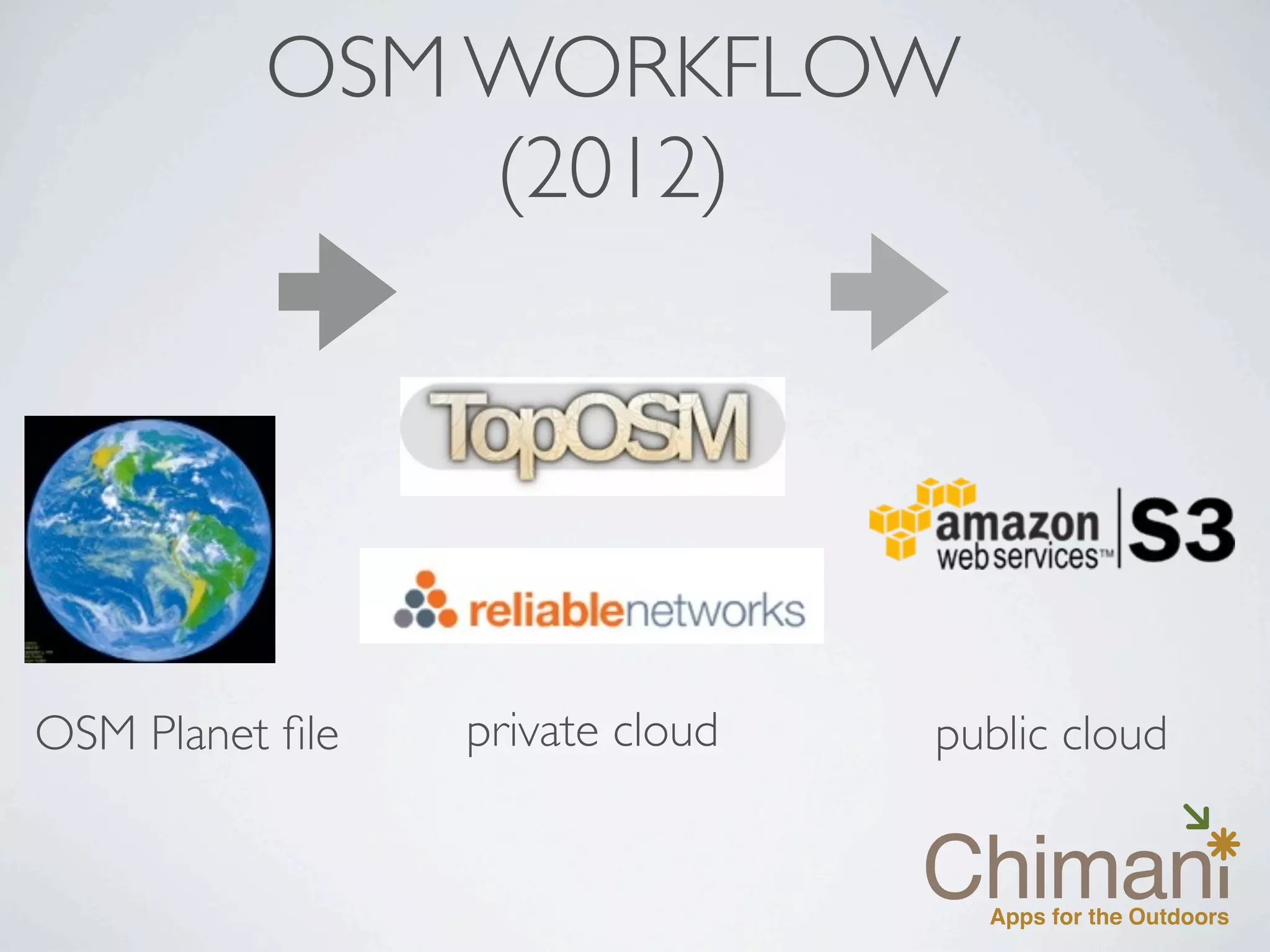
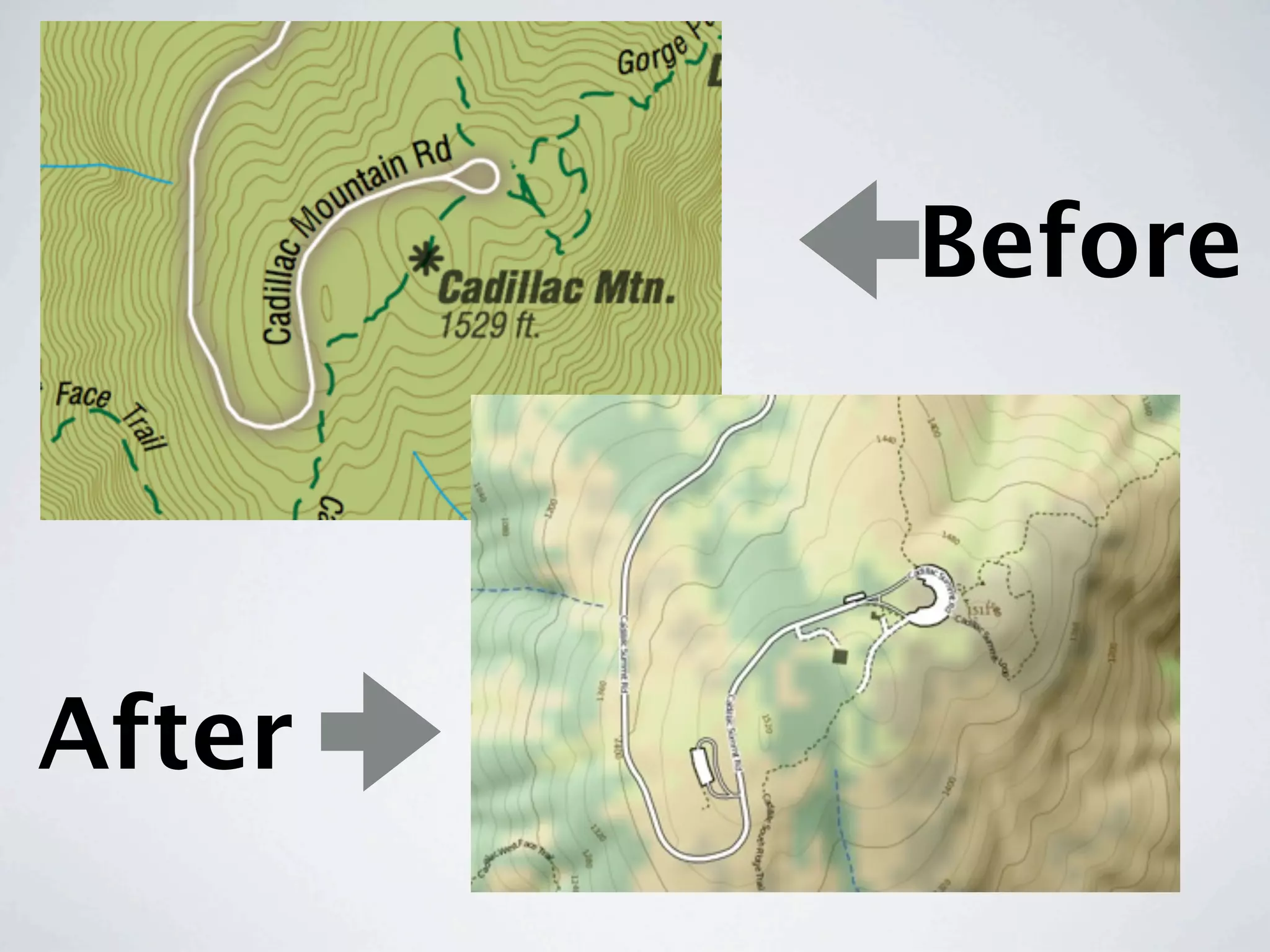
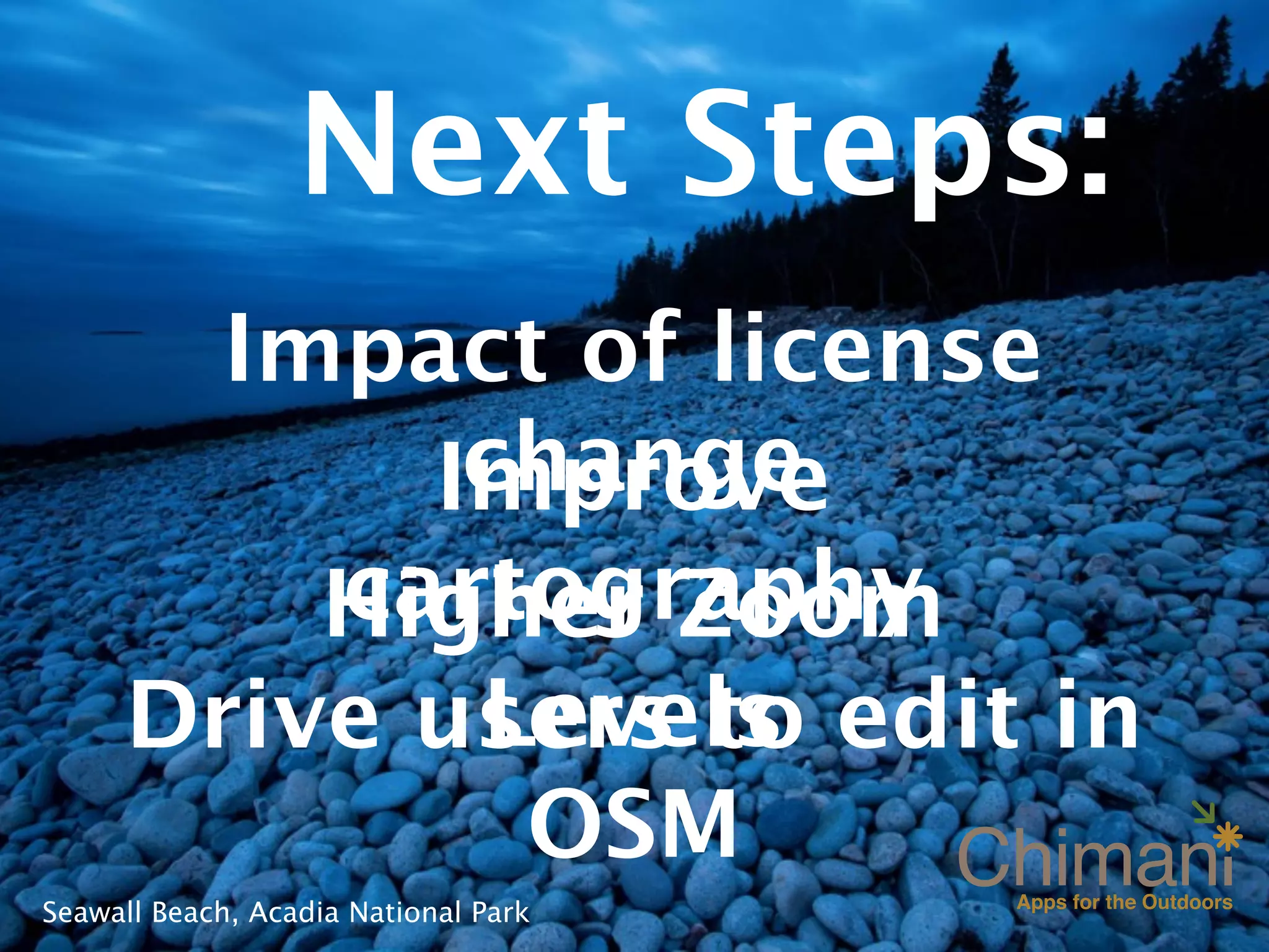
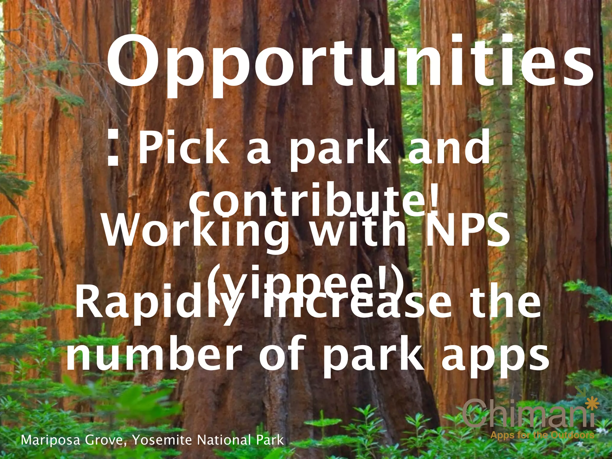
Mapping Our National Parks:
Chimani’s Switch to OSM
State of the Map USA - 2012
Portland, Oregon
Kerry Gallivan


Acadia National Park
Founded in 2010

Focus on national parks

20 apps in the
marketplace
           Otter Cliffs, Acadia National Park
PWM, not PDX


Portland, Maine
Acadia
Cape Cod National      Rocky Mountai
Seashore
Cuyahoga                Yellowston
Valley                  e
                        Yosemite
Grand
Canyon
Great Smoky              Zion
Mountains           Cadillac Mountain, Acadia National
                    Park
A “virtual passport” for all
  398 U.S. National Park
  Service units

Glacier Point, Yosemite National Park
400,000+


     Bubble Pond, Acadia National
     Park
Vision: to
                                     build a
                                     mobile
                                     experience
                                     from the
                                     the ground
El Capitan, Yosemite National Park   up
Augment the
                                   visitors
                                   experience
                                   within the
                                   parks
Shore Path, Acadia National Park
Maps are the
cornerstone of the
outdoor mobile
experience
Cadillac South Ridge Trail, Acadia National Park
ORIGINAL WORKFLOW
       (2010)


         Tile Generator   Overlay
Maps v1.0
CHALLENGES
    $$$$ (traditional GIS is
           expensive)
  Data not updated regularly
          Workflow is laborious
Nauset Light Beach, Cape Cod National Seashore
OSM WORKFLOW
              (2012)


OSM Planet file   private cloud   public cloud
Before


After
Next Steps:
       Impact of license
            change
           Improve
         cartography
         Higher Zoom
            Levels
     Drive users to edit in
             OSM
Seawall Beach, Acadia National Park
Opportunities
            : Pick a park and
           contribute!
        Working with NPS
            (yippee!) the
       Rapidly increase
      number of park apps
Mariposa Grove, Yosemite National Park
Kerry Gallivan
kerry@chimani.com
 www.chimani.com
  @kerrygallivan


    (DEMO)
             Bubble Pond, Acadia National
             Park

Mapping Our National Parks: Chimani's Switch to OSM

  • 1.
    Mapping Our NationalParks: Chimani’s Switch to OSM State of the Map USA - 2012 Portland, Oregon Kerry Gallivan Acadia National Park
  • 2.
    Founded in 2010 Focuson national parks 20 apps in the marketplace Otter Cliffs, Acadia National Park
  • 3.
  • 4.
    Acadia Cape Cod National Rocky Mountai Seashore Cuyahoga Yellowston Valley e Yosemite Grand Canyon Great Smoky Zion Mountains Cadillac Mountain, Acadia National Park
  • 5.
    A “virtual passport”for all 398 U.S. National Park Service units Glacier Point, Yosemite National Park
  • 6.
    400,000+ Bubble Pond, Acadia National Park
  • 7.
    Vision: to build a mobile experience from the the ground El Capitan, Yosemite National Park up
  • 8.
    Augment the visitors experience within the parks Shore Path, Acadia National Park
  • 9.
    Maps are the cornerstoneof the outdoor mobile experience Cadillac South Ridge Trail, Acadia National Park
  • 10.
    ORIGINAL WORKFLOW (2010) Tile Generator Overlay
  • 11.
  • 12.
    CHALLENGES $$$$ (traditional GIS is expensive) Data not updated regularly Workflow is laborious Nauset Light Beach, Cape Cod National Seashore
  • 13.
    OSM WORKFLOW (2012) OSM Planet file private cloud public cloud
  • 14.
  • 15.
    Next Steps: Impact of license change Improve cartography Higher Zoom Levels Drive users to edit in OSM Seawall Beach, Acadia National Park
  • 16.
    Opportunities : Pick a park and contribute! Working with NPS (yippee!) the Rapidly increase number of park apps Mariposa Grove, Yosemite National Park
  • 17.
    Kerry Gallivan kerry@chimani.com www.chimani.com @kerrygallivan (DEMO) Bubble Pond, Acadia National Park

Editor's Notes

  • #2 \n
  • #3 The result of my personal frustration for not having useful data available for my iPhone\nThe frustration with poor mapping data and it’s dependency on cell data/connection\n10 in the App Store and 10 and Google PLay \n
  • #4 Always wanted to fly between the two Portland’s. \nBTW, Portland, Oregon was named after Portland, Maine in 1845\n
  • #5 Focused on the top ten most visited national parks\nIf you search for one of these parks, the apps will show up first.\n
  • #6 Covers all NPS units, and some BLM and US Forest Service units\nAllows users to “stamp” the parks they have visited and build a bucketlist\n\n
  • #7 We’re had over 400,000 downloads\nVery modest compared to other folks.....\nAnd especially since there were over 281 million visitors to national parks 2010\n
  • #8 Mobile first. Don’t have a website. Didn’t have a printed publication\n
  • #9 Meant to “augment” the park experience\nApp was design and engineered to help users PLAN, NAVIGATE, and SOCIALIZE\nAssumed they were outdoors and with no cell phone coverage\n\n
  • #10 Everyone used Google Maps (no cell/data access in the park)\nOr, take the image files from NPS and reference them.\nVery little detailed trail data\n
  • #11 assembled data sources from a variety of place, but mainly NPS data store and local municipalities\n\nmap server-like functionality within the app\n\n
  • #12 Clean design...meet the immediate goal....\nHowever we went all the way to Zoom Level 16 - the workflow didn’t allow for data to be displayed differently at various Zoom levels\n\n
  • #13 \n
  • #14 Discovered the TopOSM project by Lars Ahlzen...provided a viable solution\nBegan mapping and cleaning up much of the National Park data.\nNeeded a fast, hosted solution which could handle the tiling requirements (Reliable Networks)\nSyncing tiles between private cloud and public cloud (with at Amazon Cloudfront and Glacier)\nCURRENT: monthly imports of the planet file. GOAL: bi-monthly updates\n
  • #15 Before: very nice parks\nAFTER: more details, land coverage, hill-shading and the ability to update on the fly\n\n
  • #16 license: commercial company \nmore “outdoor specific” designs - best of the previous, NPS style,\nZoom: the details in the busiest areas\nTriggers for users to go back to OSM\n
  • #17 There is lots of work to be done. Pick a park you love, and map it!\nNPS: really excited to see the work that Mamata and the NPS team are doing - ]switch over to the NPS base map for virtual passport app\nWorkflow can increase the number of apps, excellent opportunity to capture more OSM editers...contributers\n
  • #18 \n