
Download to read offline
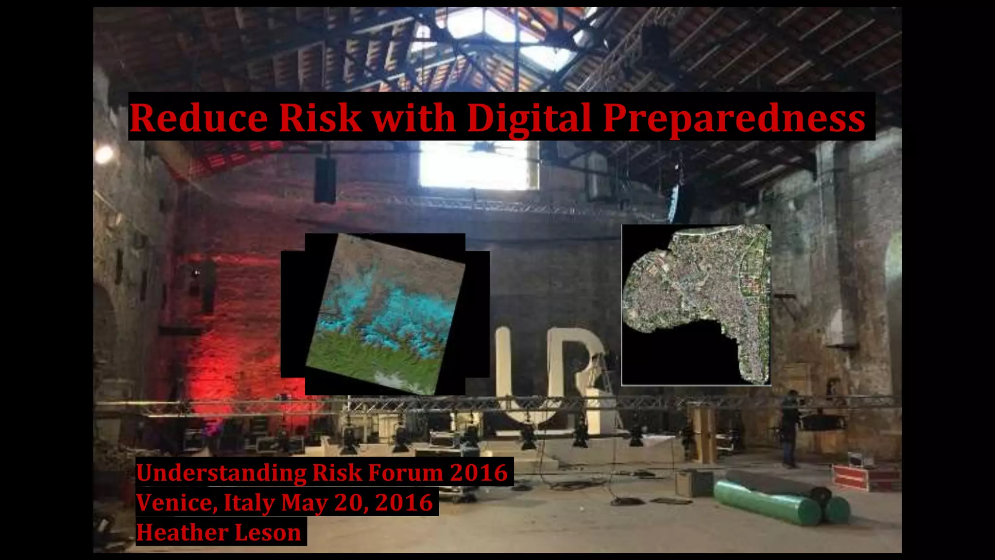
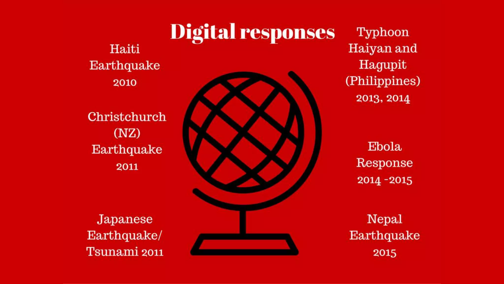
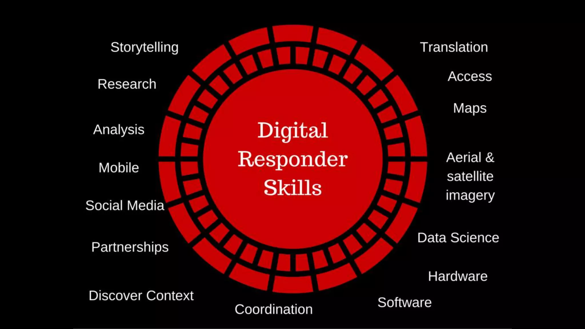
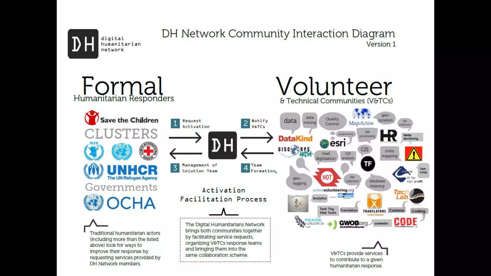
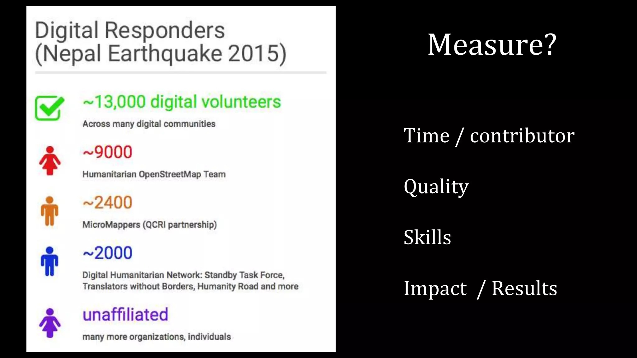
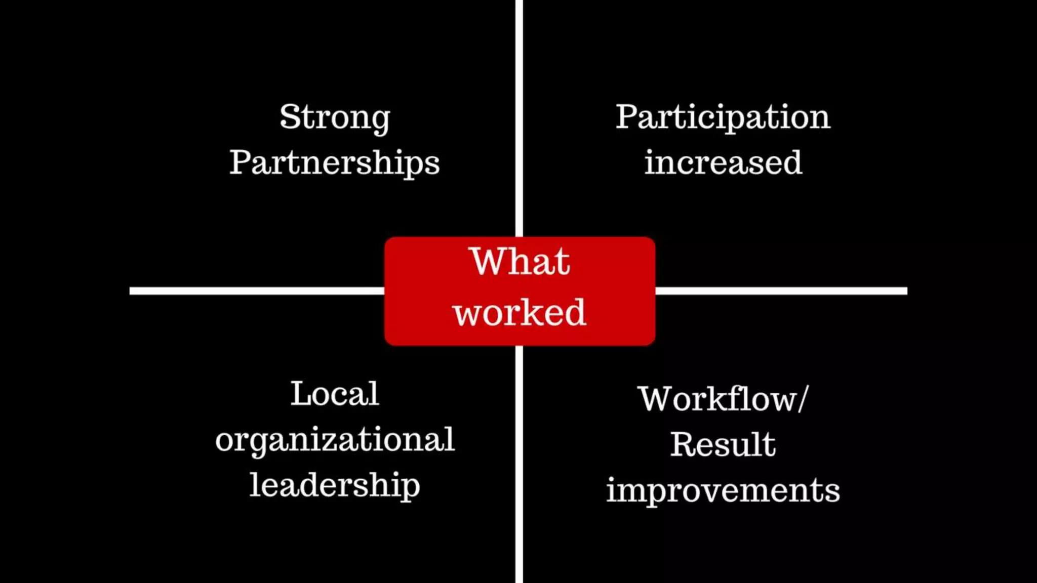
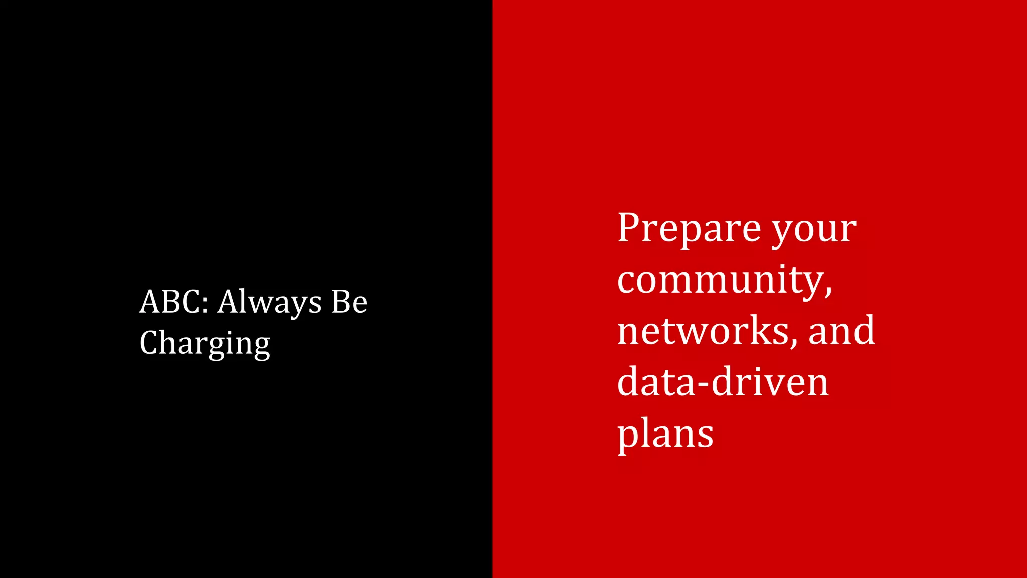
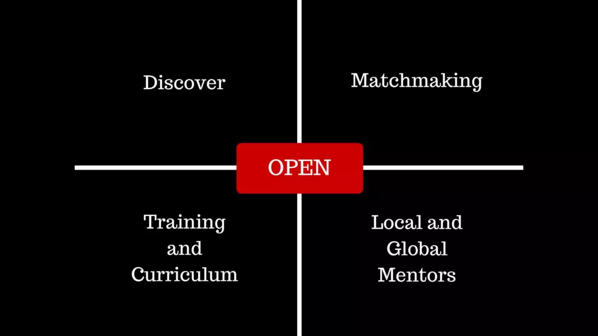
The document discusses the Understanding Risk Forum held in Venice, Italy, on May 20, 2016, where Heather Leson emphasized reducing risk through digital preparedness. It highlights the importance of community engagement, quality skills, and data-driven plans. The document also includes a link to a related summit.


