
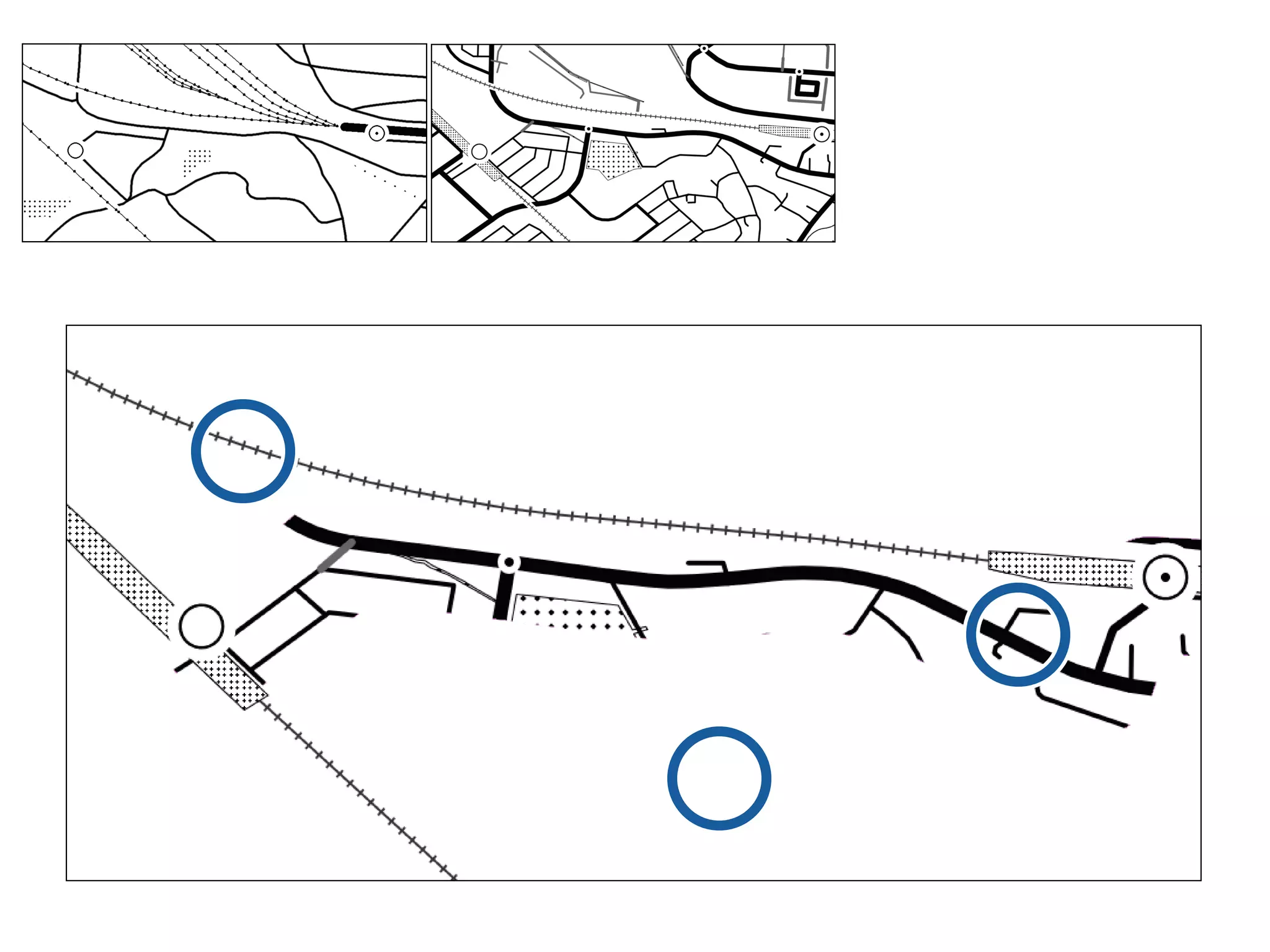
![PostGIS
SELECT * FROM [ ]
WHERE distance_sphere(
MakePoint([ ], [ ]),
the_geom
) <= 5000;](https://image.slidesharecdn.com/tmacs-110211191108-phpapp01/75/tmacs-12-2048.jpg)
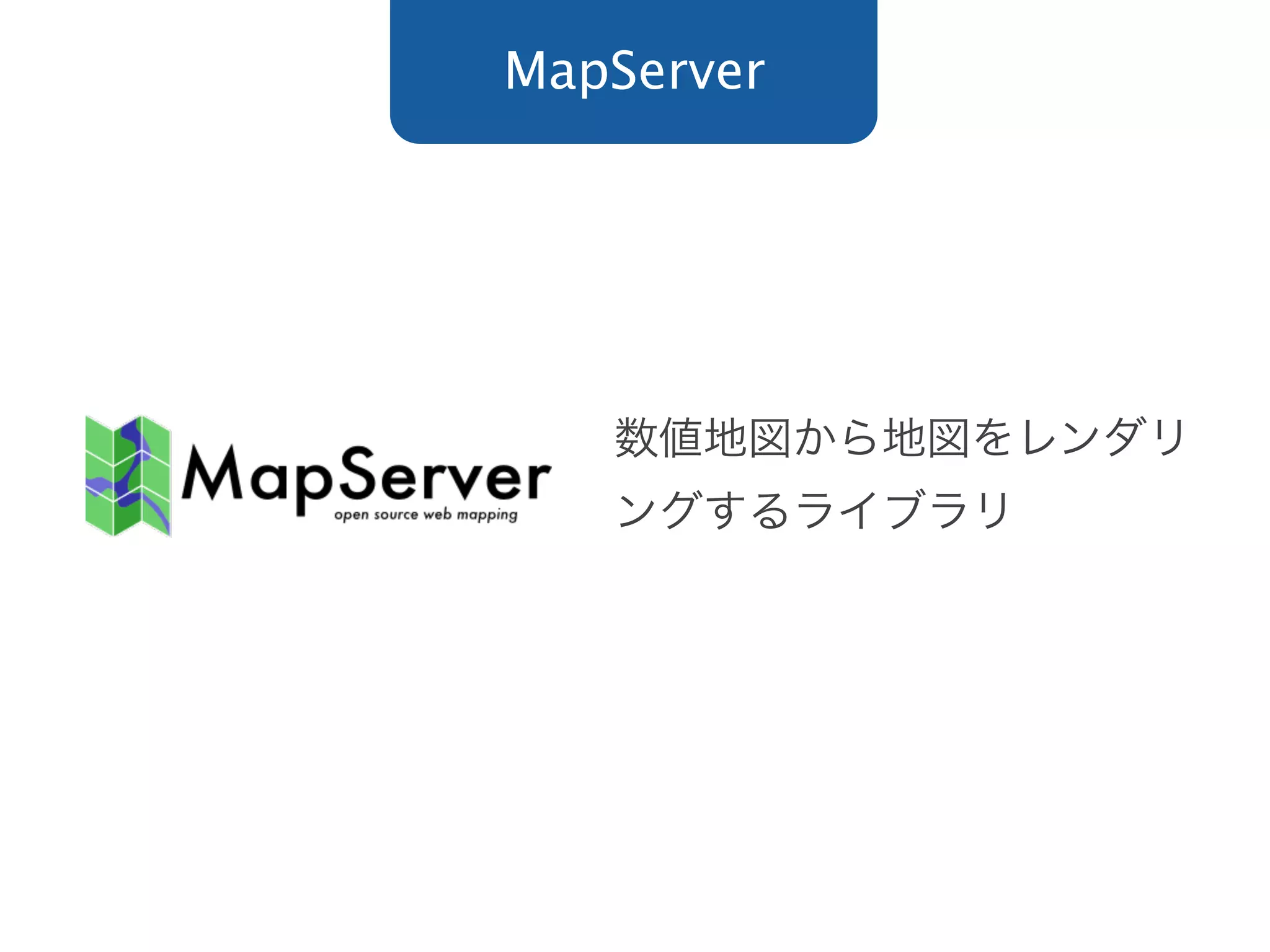
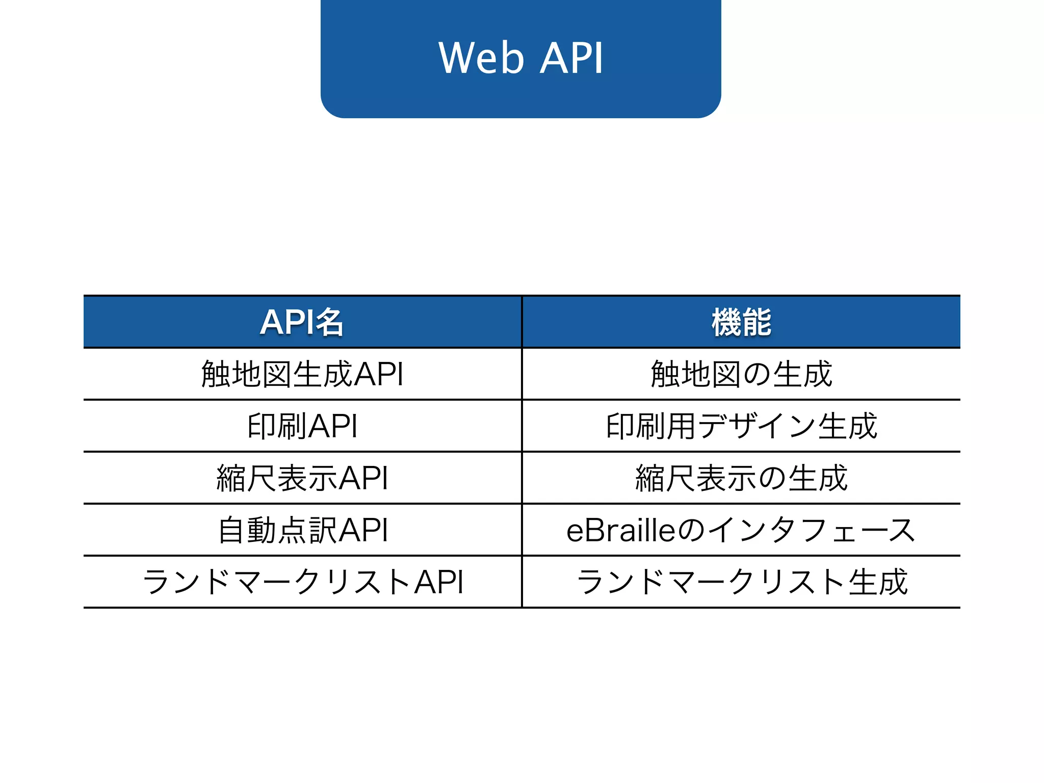

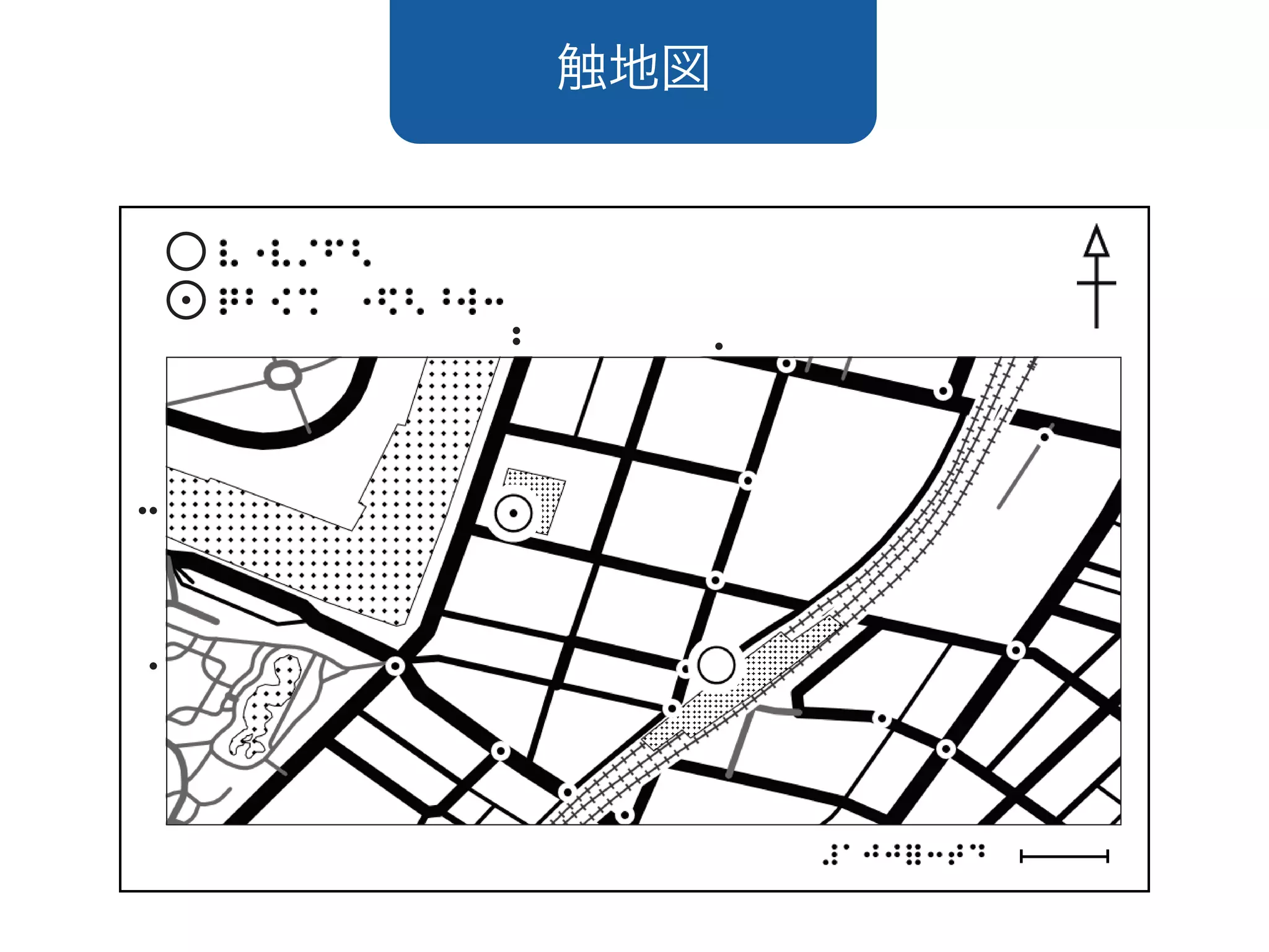
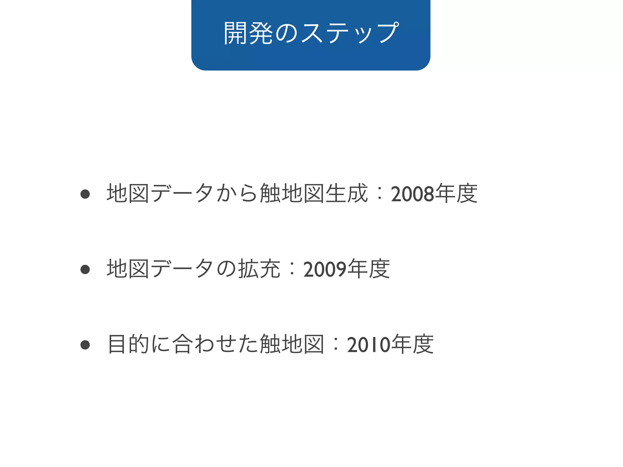
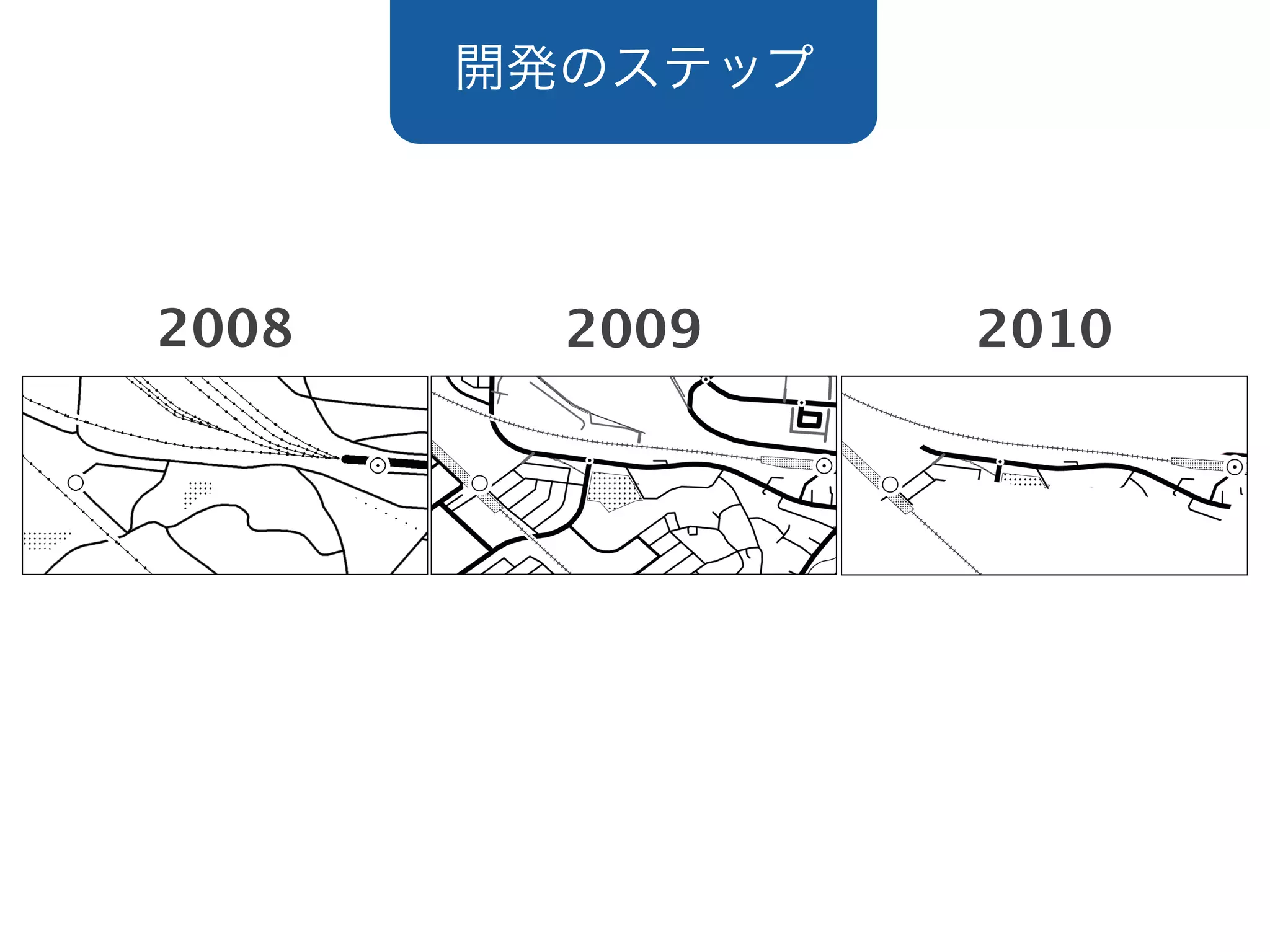
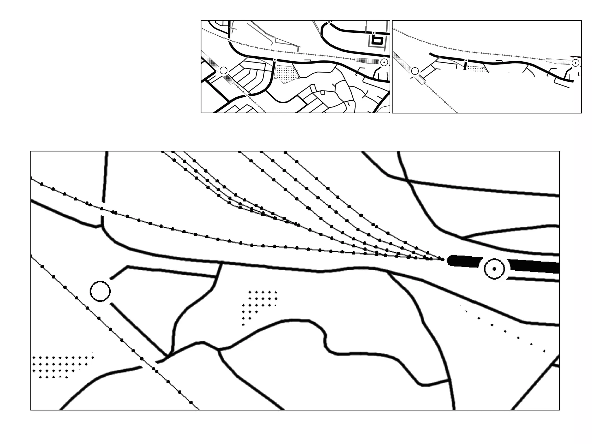
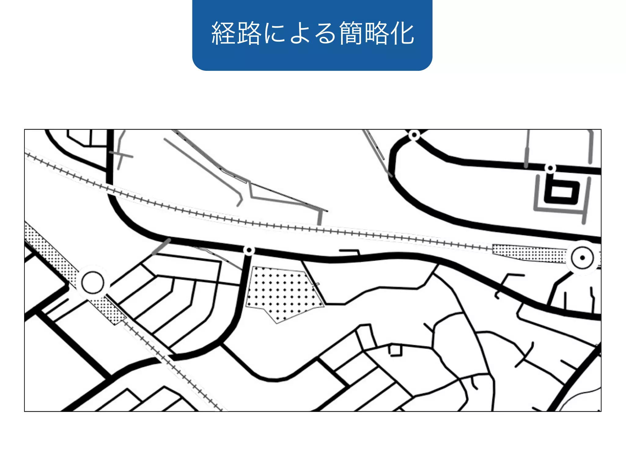
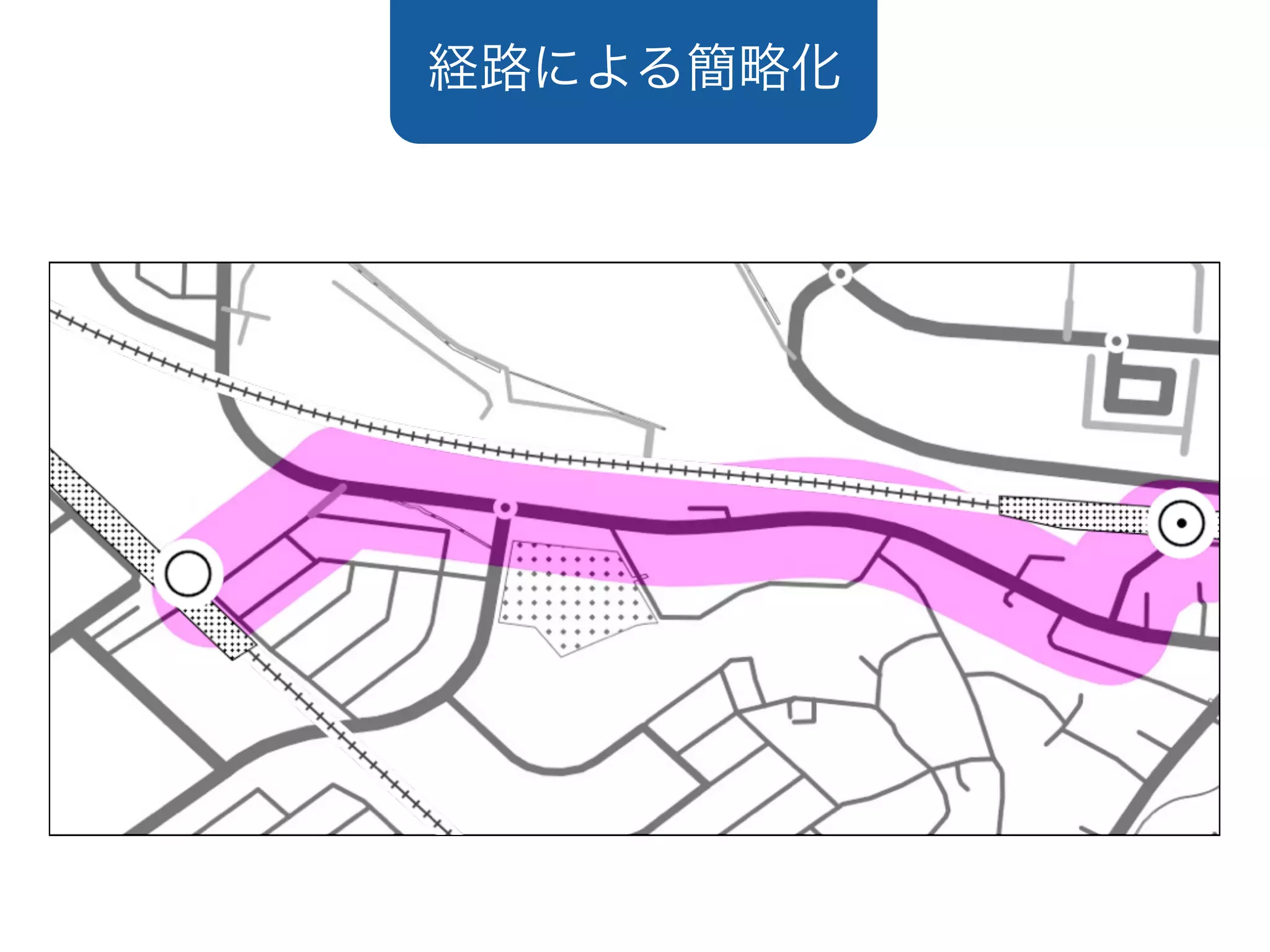
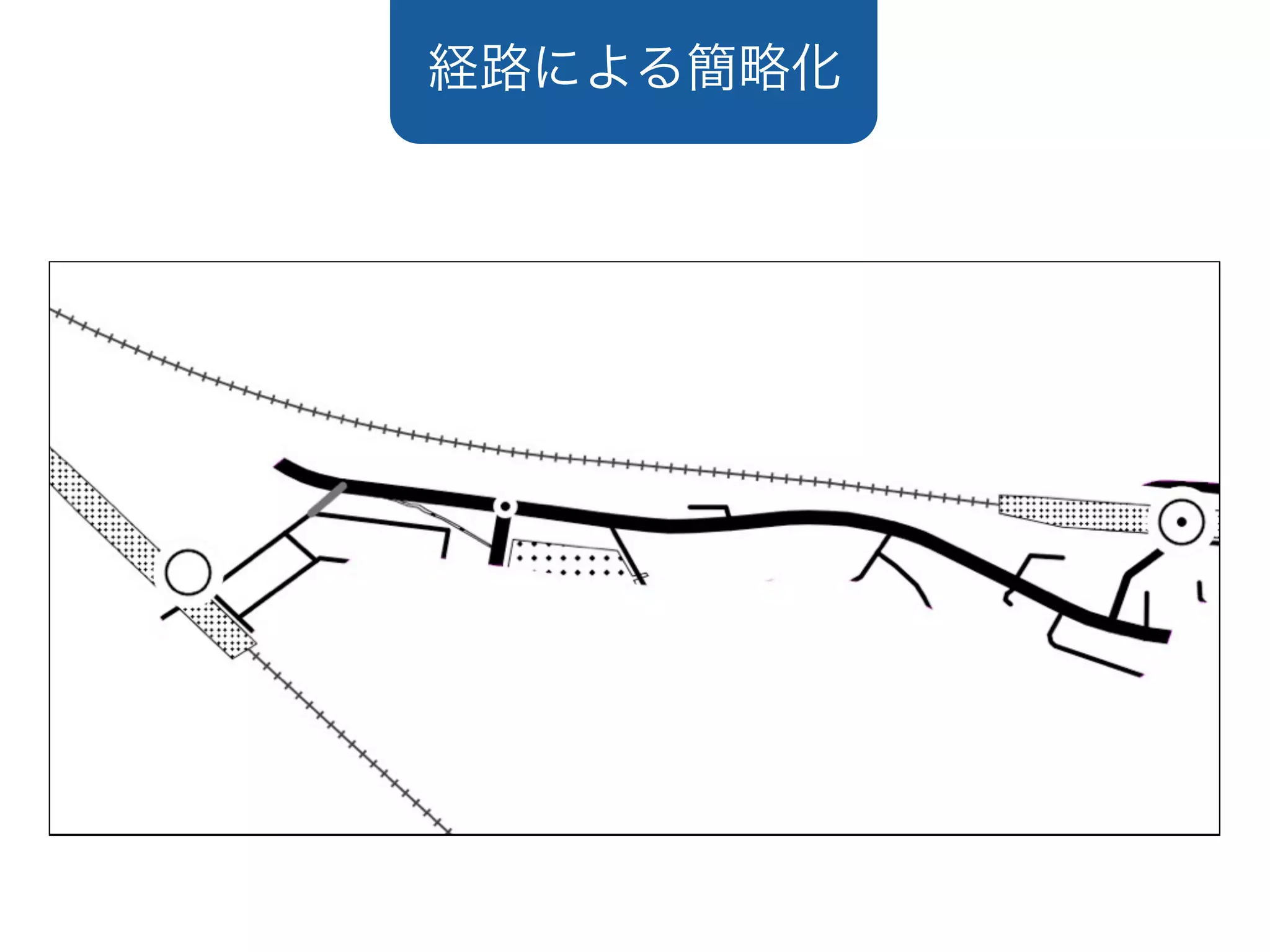


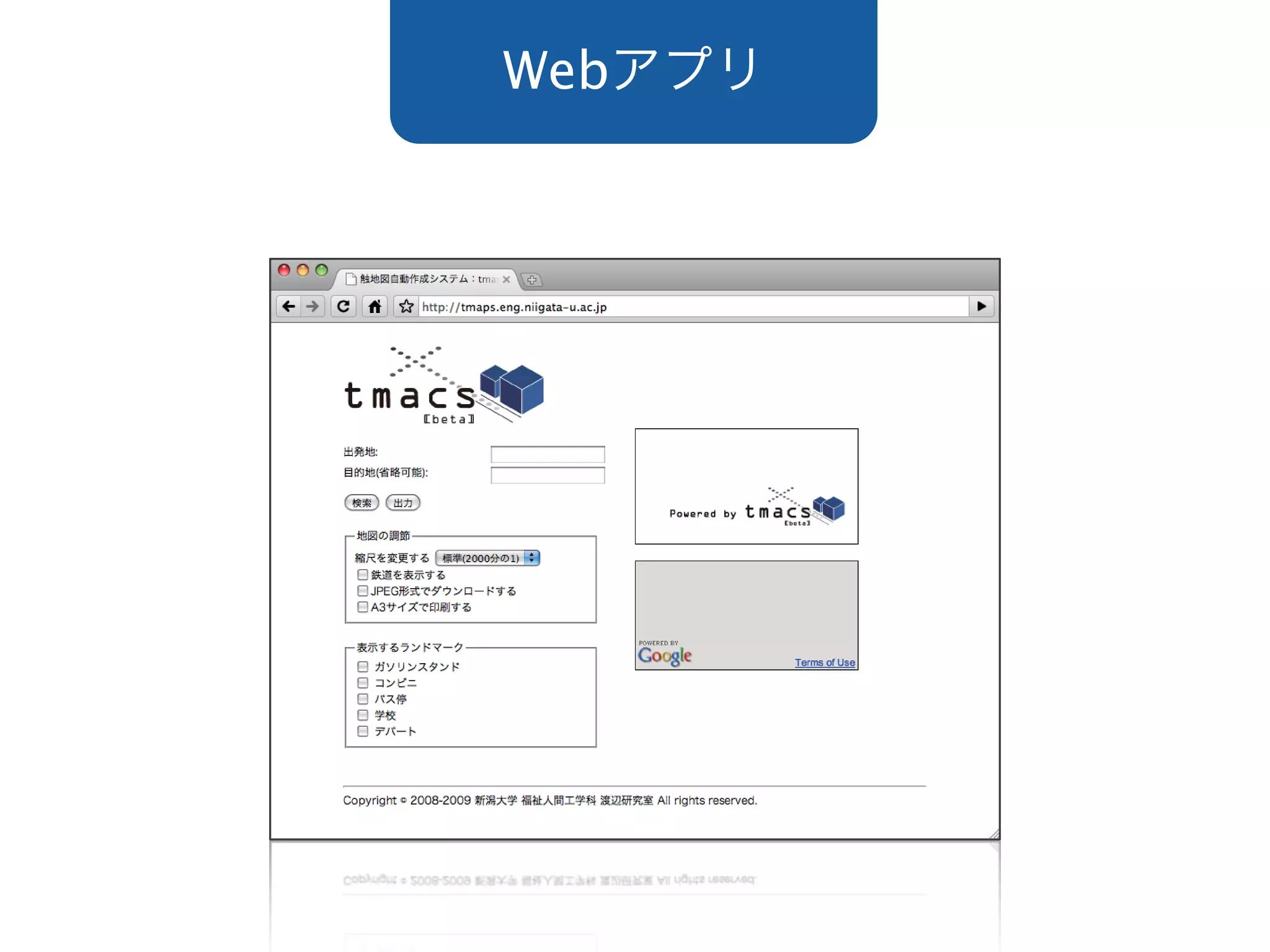
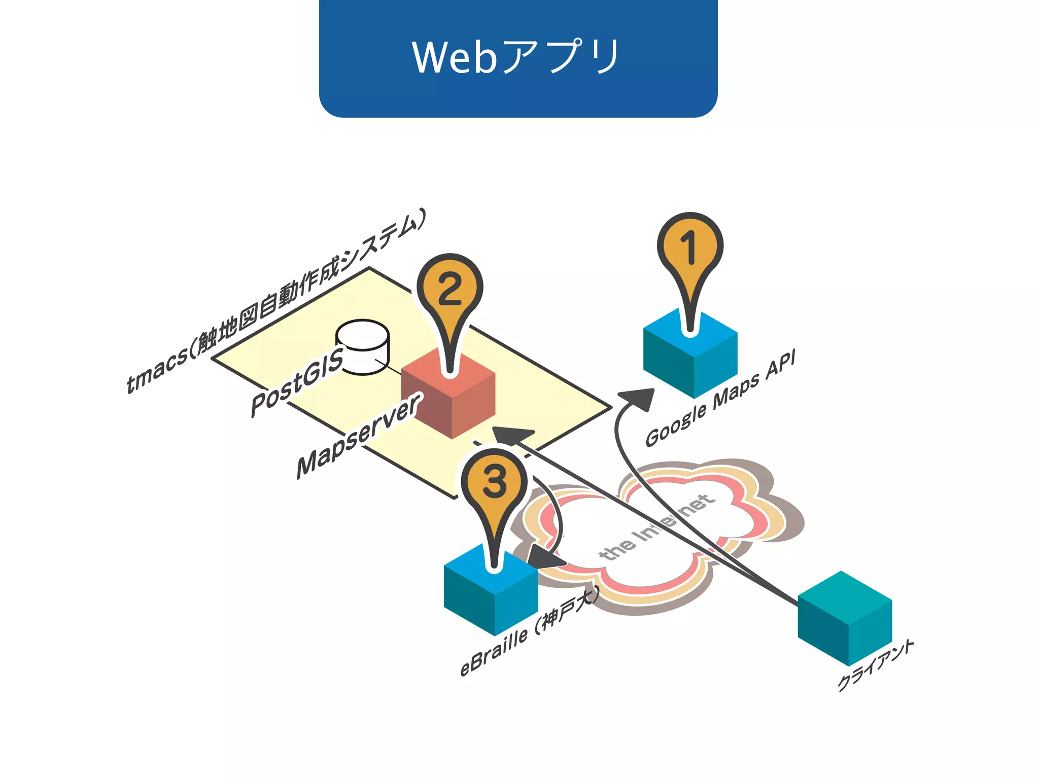
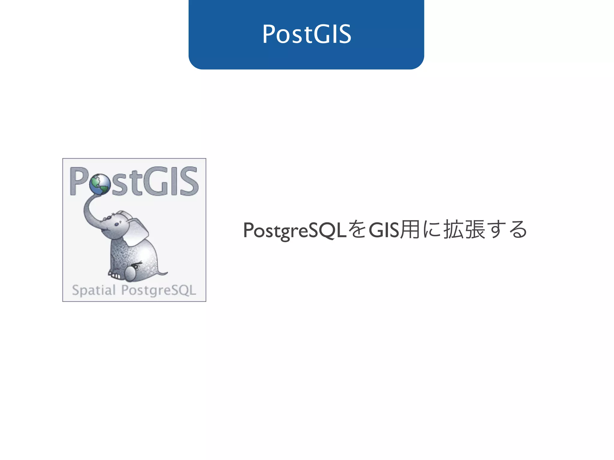
The document discusses the development of TMACS, a web-based mapping application that uses PostGIS for spatial querying and data storage in PostgreSQL. It allows users to find objects within a certain distance from a point and visualize the results on a map through MapServer and a Web API. Release years for TMACS included 2008, 2009, and 2010.


