Download to read offline
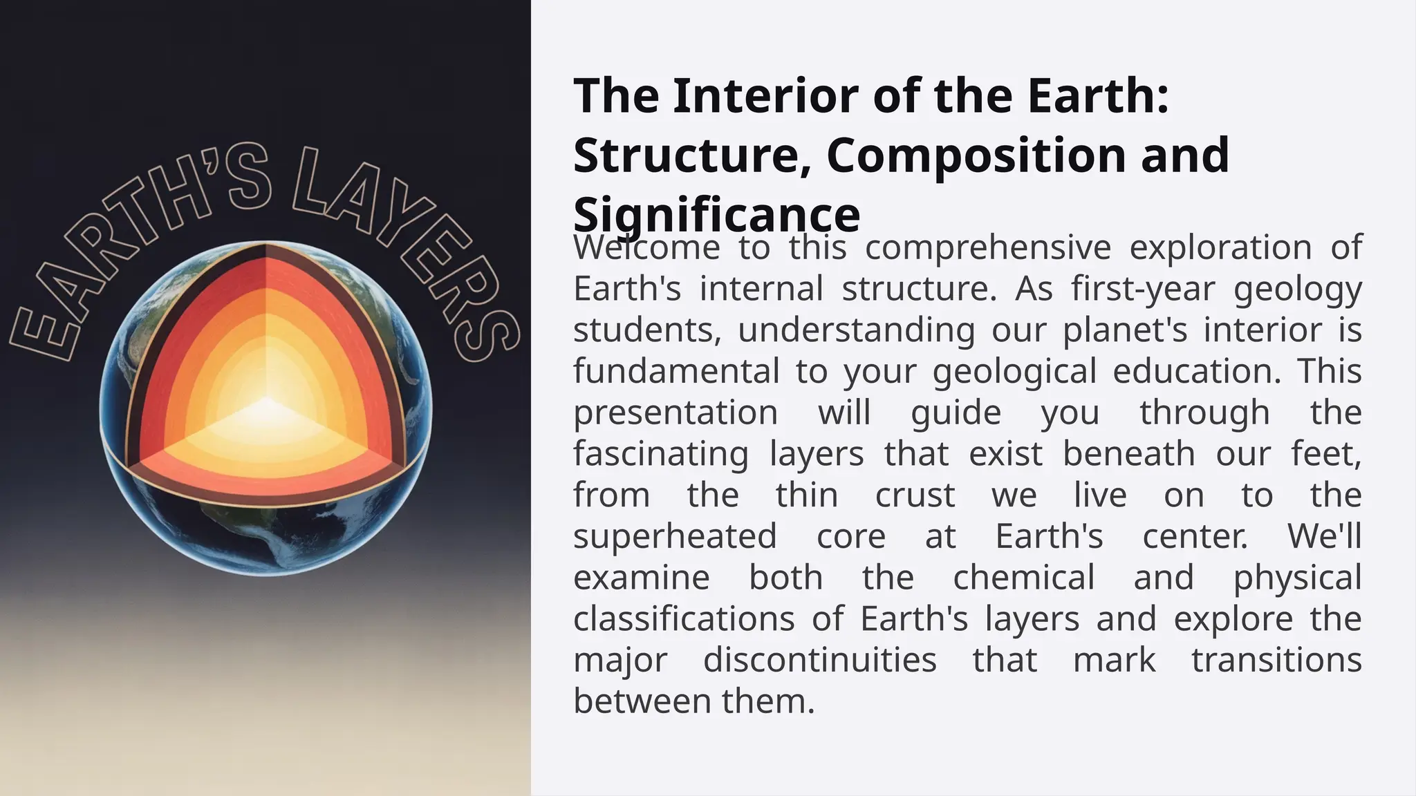


Welcome to this comprehensive exploration of Earth's internal structure. As first-year geology students, understanding our planet's interior is fundamental to your geological education. This presentation will guide you through the fascinating layers that exist beneath our feet, from the thin crust we live on to the superheated core at Earth's center. We'll examine both the chemical and physical classifications of Earth's layers and explore the major discontinuities that mark transitions between them.


