Download to read offline
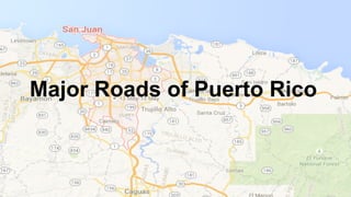
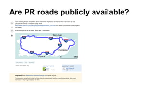
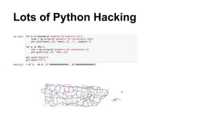
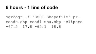

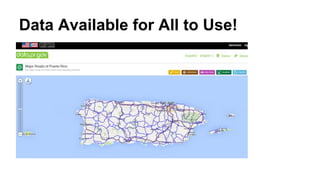

The document discusses the availability of major roads data in Puerto Rico, specifically the use of the 'ogr2ogr' command to convert and clip the data into an ESRI shapefile format. It emphasizes that this data is publicly accessible and available for all to use. The author notes that the process requires only minimal coding effort.


