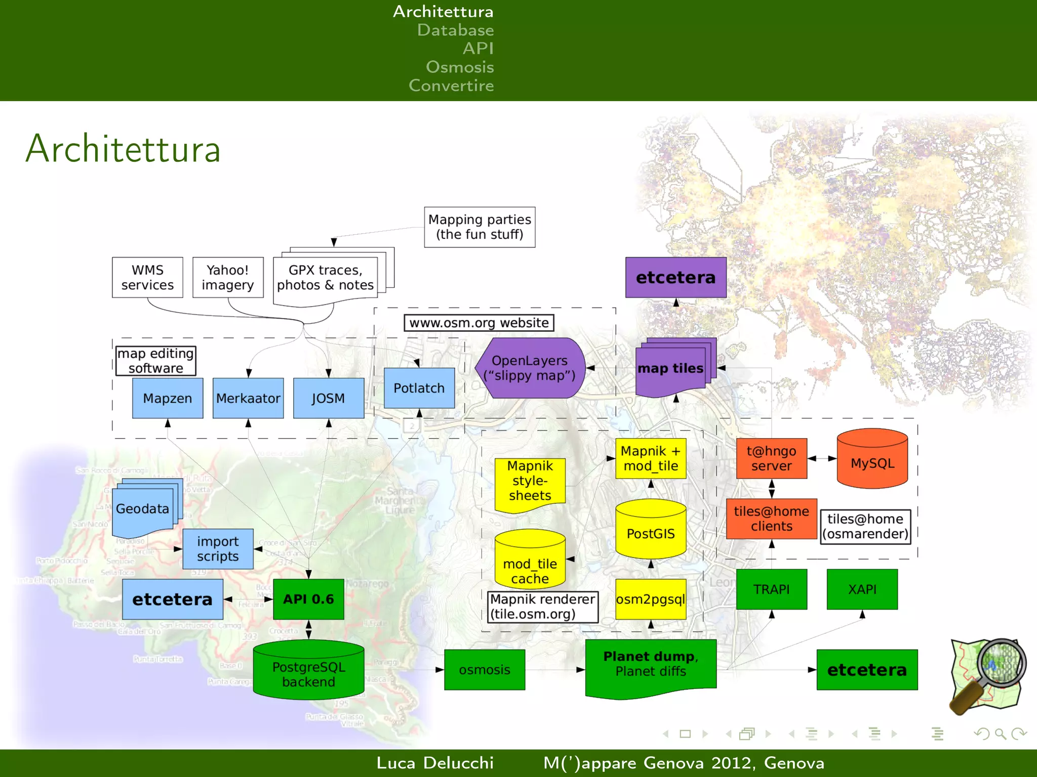
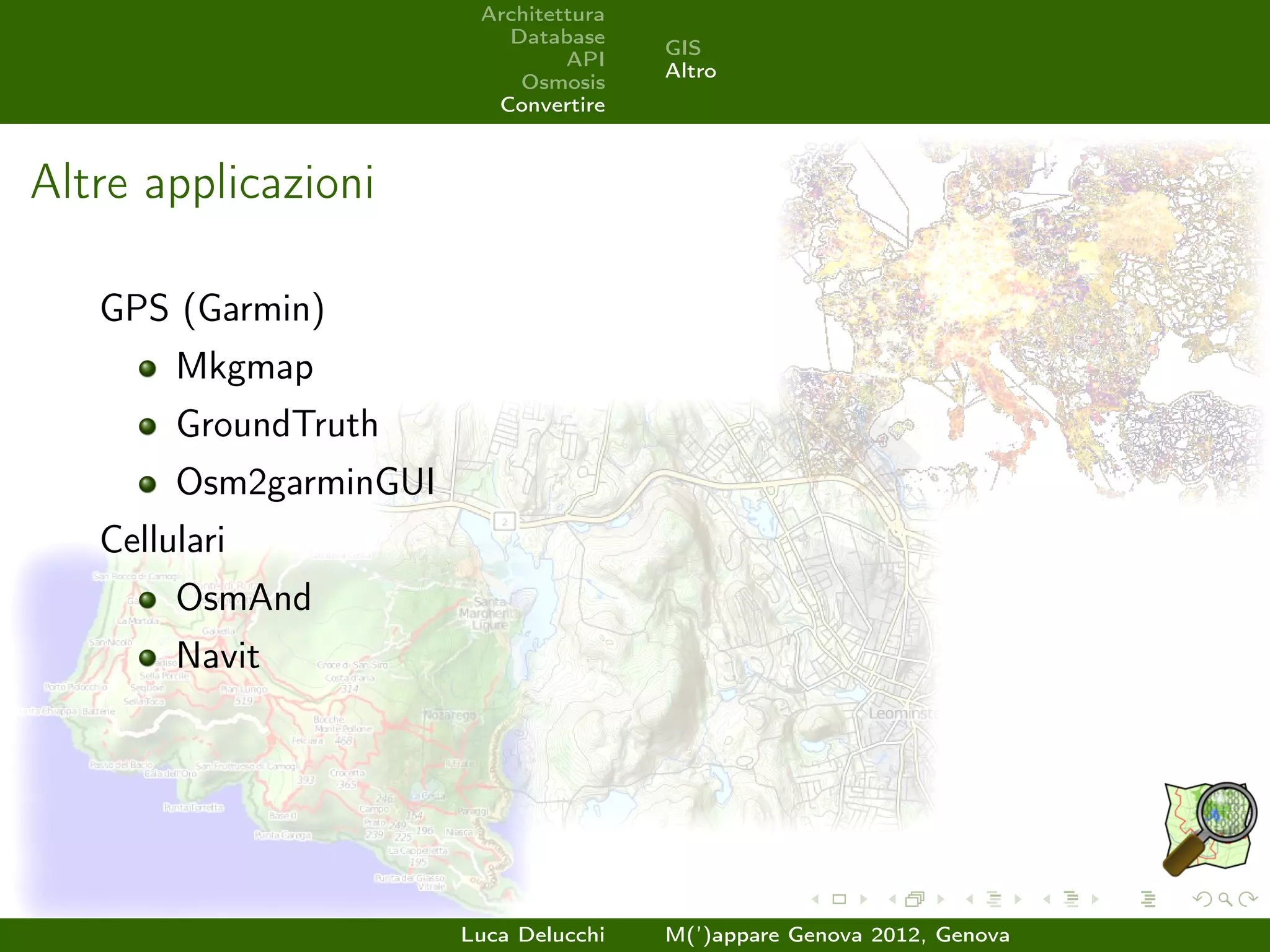
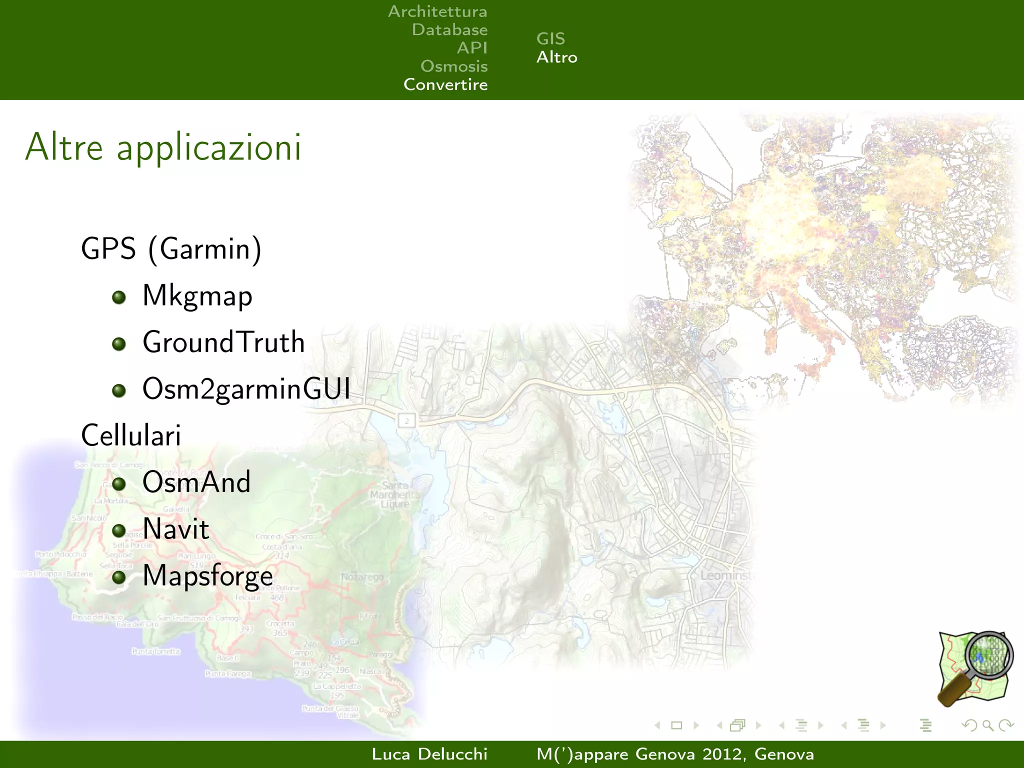
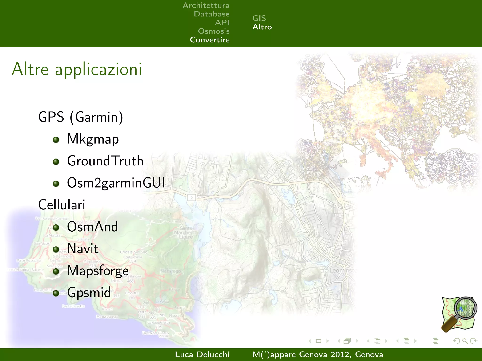
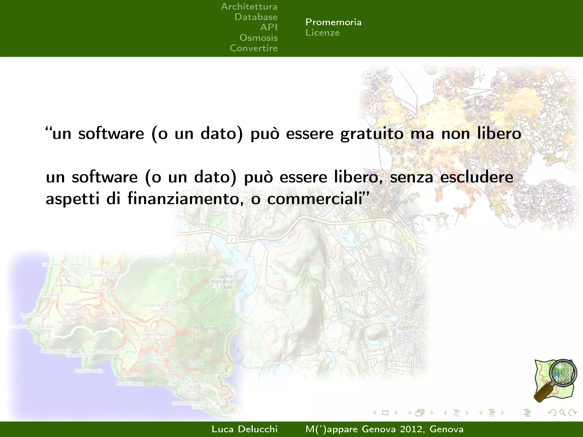
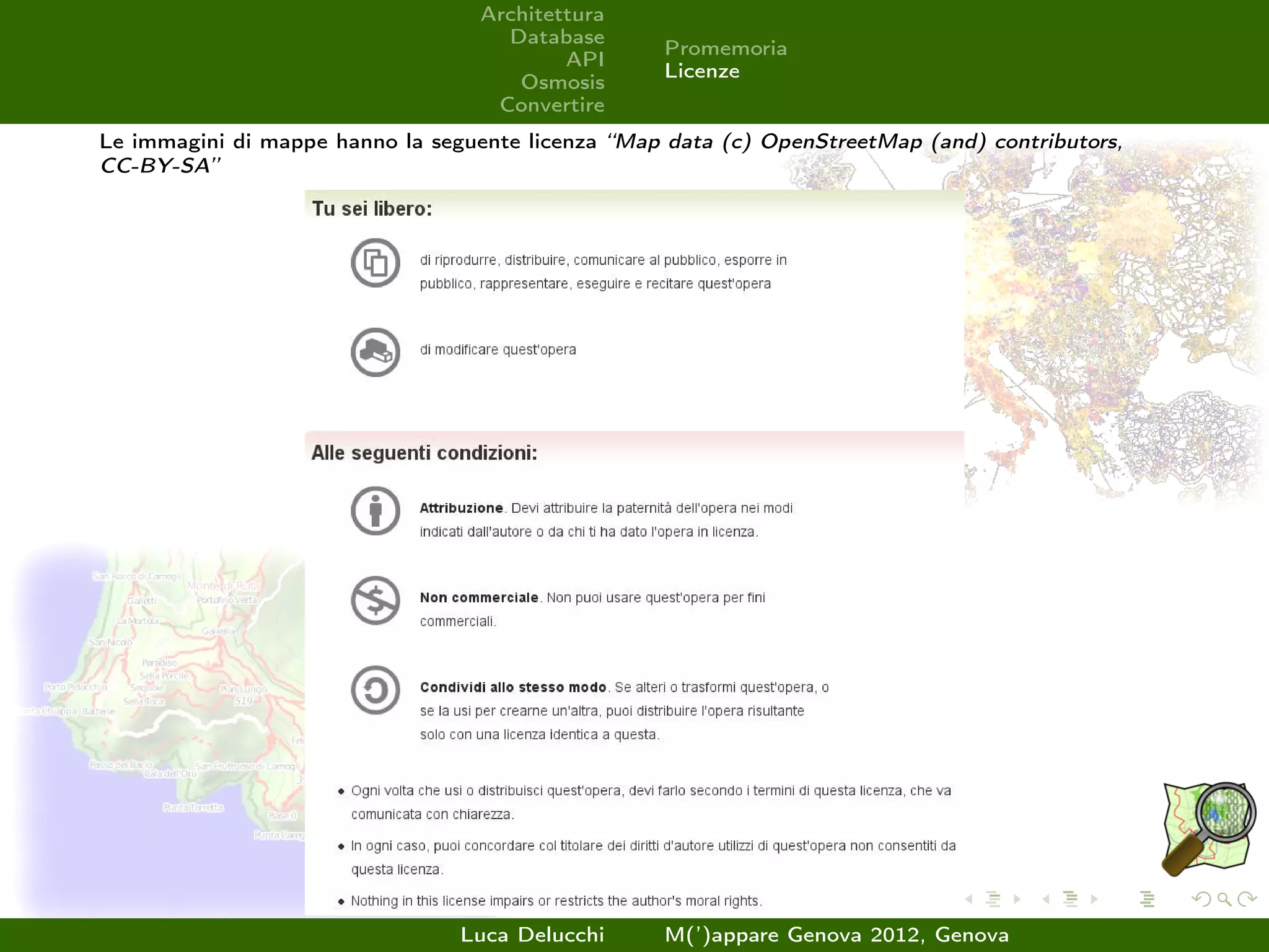
This document provides an overview of OpenStreetMap (OSM), including its history and components. OSM is a collaborative project to create a free editable map of the world. It was founded in 2004 in response to most geographic data being closed or limited at the time. The project has grown significantly since, with over 500,000 registered contributors as of 2011. Quality is ensured through peer review and tools that help identify issues. Contributors are motivated by factors like having fun exploring new areas, helping with humanitarian causes through groups like HOT, and the increasing use of OSM in commercial and professional applications.
FE@R2B - Workshop Public eProcurement: nuovi scenari e sviluppiEPOCA
Il progetto FE: una testimonianza di un modello open-source per gestire le fatture elettroniche rivolto alle Pubbliche Amministrazioni e agli Enti Pubblici
The document introduces ZOOSM, a WPS service that allows users to analyze geospatial data from the OpenStreetMap project. ZOOSM combines the ZOO project, an open-source WPS server, with OSM to enable users to convert vector data to OSM format via the OGR library and edit data through the OSM API. It is implemented in Python and provides both web-based and desktop-based interfaces for importing and analyzing geospatial data on OpenStreetMap.
The document discusses the development of a module called g.cloud to facilitate running GRASS GIS jobs on a computer cluster. The module was created to simplify usage of GRASS on the authors' cluster and allow remote launching of jobs without direct access to the cluster. Future plans include supporting additional clustering systems and automatic installation of GRASS along with returning output and monitoring job status.
The document discusses ZOO, an open source WPS server. It describes that ZOO is comprised of three parts: the kernel, services, and API. The kernel manages and chains web services and supports multiple programming languages. Services are processes that work with the kernel and can be written in many languages. The API makes creating and chaining WPS processes easier using JavaScript. The presentation goes on to provide more details about each of these components.
Mapnik is an open source software library for rendering spatial data to maps and images. It allows for the creation of individual images or tiled maps for web publishing. Written in C++ with Python bindings, it uses OGC standards, GDAL/OGR, and other libraries. Styles and rendering rules are defined using XML files, and maps can be rendered to different formats like PNG or PDF using Python scripts.
4. Architettura
Database
Introduzione
API
Schema
Osmosis
Convertire
Introduzione
Database Managment System:
PostgreSQL
Numero di utenti 592.409
Numero di punti GPS caricati 2.826.592.946
Numero di nodes 1.431.538.373
Numero di ways 133.026.354
Numero di relations 1.377.599
Luca Delucchi M(’)appare Genova 2012, Genova
6. Architettura
Introduzione
Database
Formato
API
Esempi
Osmosis
Interfacce
Convertire
Introduzione
API architettura RESTful per interfacciarsi con il database
centrale
Luca Delucchi M(’)appare Genova 2012, Genova
7. Architettura
Introduzione
Database
Formato
API
Esempi
Osmosis
Interfacce
Convertire
Introduzione
API architettura RESTful per interfacciarsi con il database
centrale
richiede formato XML
Luca Delucchi M(’)appare Genova 2012, Genova
8. Architettura
Introduzione
Database
Formato
API
Esempi
Osmosis
Interfacce
Convertire
Introduzione
API architettura RESTful per interfacciarsi con il database
centrale
richiede formato XML
attuale versione 0.6
Luca Delucchi M(’)appare Genova 2012, Genova
9. Architettura
Introduzione
Database
Formato
API
Esempi
Osmosis
Interfacce
Convertire
Introduzione
API architettura RESTful per interfacciarsi con il database
centrale
richiede formato XML
attuale versione 0.6
permette interscambio di informazioni sui Changeset,
elementi, tracce GPS e utenti
Luca Delucchi M(’)appare Genova 2012, Genova
23. Architettura
Database
Introduzione
API
Esempi
Osmosis
Convertire
Osmosis: introduzione
Osmosis è un software Java per gestire i dati OSM
Luca Delucchi M(’)appare Genova 2012, Genova
24. Architettura
Database
Introduzione
API
Esempi
Osmosis
Convertire
Osmosis: introduzione
Osmosis è un software Java per gestire i dati OSM
Permette tra l’altro di:
Luca Delucchi M(’)appare Genova 2012, Genova
25. Architettura
Database
Introduzione
API
Esempi
Osmosis
Convertire
Osmosis: introduzione
Osmosis è un software Java per gestire i dati OSM
Permette tra l’altro di:
generare dump in formato .osm
Luca Delucchi M(’)appare Genova 2012, Genova
26. Architettura
Database
Introduzione
API
Esempi
Osmosis
Convertire
Osmosis: introduzione
Osmosis è un software Java per gestire i dati OSM
Permette tra l’altro di:
generare dump in formato .osm
carica dump in un database
Luca Delucchi M(’)appare Genova 2012, Genova
27. Architettura
Database
Introduzione
API
Esempi
Osmosis
Convertire
Osmosis: introduzione
Osmosis è un software Java per gestire i dati OSM
Permette tra l’altro di:
generare dump in formato .osm
carica dump in un database
comparare due database e crea un diff
Luca Delucchi M(’)appare Genova 2012, Genova
28. Architettura
Database
Introduzione
API
Esempi
Osmosis
Convertire
Osmosis: introduzione
Osmosis è un software Java per gestire i dati OSM
Permette tra l’altro di:
generare dump in formato .osm
carica dump in un database
comparare due database e crea un diff
estrarre dati dentro una bounding box
Luca Delucchi M(’)appare Genova 2012, Genova
34. Architettura
Database
GIS
API
Altro
Osmosis
Convertire
Applicazioni GIS
PostgreSQL/Postgis: osm2pgsql, Imposm, Osm2pgrouting,
osm2postgis
Spatialite: spatialite_osm_raw, spatialite_osm_filter,
spatialite_osm_map, spatialite_osm_net
Mapnik e altri software di rendering (anche POVRay)
Luca Delucchi M(’)appare Genova 2012, Genova
35. Architettura
Database
GIS
API
Altro
Osmosis
Convertire
Applicazioni GIS
PostgreSQL/Postgis: osm2pgsql, Imposm, Osm2pgrouting,
osm2postgis
Spatialite: spatialite_osm_raw, spatialite_osm_filter,
spatialite_osm_map, spatialite_osm_net
Mapnik e altri software di rendering (anche POVRay)
QGIS
Luca Delucchi M(’)appare Genova 2012, Genova
36. Architettura
Database
GIS
API
Altro
Osmosis
Convertire
Applicazioni GIS
PostgreSQL/Postgis: osm2pgsql, Imposm, Osm2pgrouting,
osm2postgis
Spatialite: spatialite_osm_raw, spatialite_osm_filter,
spatialite_osm_map, spatialite_osm_net
Mapnik e altri software di rendering (anche POVRay)
QGIS
Udig
Luca Delucchi M(’)appare Genova 2012, Genova
37. Architettura
Database
GIS
API
Altro
Osmosis
Convertire
Altre applicazioni
GPS (Garmin)
Luca Delucchi M(’)appare Genova 2012, Genova
38. Architettura
Database
GIS
API
Altro
Osmosis
Convertire
Altre applicazioni
GPS (Garmin)
Mkgmap
Luca Delucchi M(’)appare Genova 2012, Genova
39. Architettura
Database
GIS
API
Altro
Osmosis
Convertire
Altre applicazioni
GPS (Garmin)
Mkgmap
GroundTruth
Luca Delucchi M(’)appare Genova 2012, Genova
40. Architettura
Database
GIS
API
Altro
Osmosis
Convertire
Altre applicazioni
GPS (Garmin)
Mkgmap
GroundTruth
Osm2garminGUI
Luca Delucchi M(’)appare Genova 2012, Genova
41. Architettura
Database
GIS
API
Altro
Osmosis
Convertire
Altre applicazioni
GPS (Garmin)
Mkgmap
GroundTruth
Osm2garminGUI
Cellulari
OsmAnd
Luca Delucchi M(’)appare Genova 2012, Genova
42. Architettura
Database
GIS
API
Altro
Osmosis
Convertire
Altre applicazioni
GPS (Garmin)
Mkgmap
GroundTruth
Osm2garminGUI
Cellulari
OsmAnd
Navit
Luca Delucchi M(’)appare Genova 2012, Genova
43. Architettura
Database
GIS
API
Altro
Osmosis
Convertire
Altre applicazioni
GPS (Garmin)
Mkgmap
GroundTruth
Osm2garminGUI
Cellulari
OsmAnd
Navit
Mapsforge
Luca Delucchi M(’)appare Genova 2012, Genova
44. Architettura
Database
GIS
API
Altro
Osmosis
Convertire
Altre applicazioni
GPS (Garmin)
Mkgmap
GroundTruth
Osm2garminGUI
Cellulari
OsmAnd
Navit
Mapsforge
Gpsmid
Luca Delucchi M(’)appare Genova 2012, Genova
45. Architettura
Database
Promemoria
API
Licenze
Osmosis
Convertire
“un software (o un dato) può essere gratuito ma non libero
un software (o un dato) può essere libero, senza escludere
aspetti di finanziamento, o commerciali”
Luca Delucchi M(’)appare Genova 2012, Genova
46. Architettura
Database
Promemoria
API
Licenze
Osmosis
Convertire
“un software (o un dato) può essere gratuito ma non libero
un software (o un dato) può essere libero, senza escludere
aspetti di finanziamento, o commerciali”
Grazie dell’attenzione!
Luca Delucchi M(’)appare Genova 2012, Genova
47. Architettura
Database
Promemoria
API
Licenze
Osmosis
Convertire
Le immagini di mappe hanno la seguente licenza “Map data (c) OpenStreetMap (and) contributors,
CC-BY-SA”
Luca Delucchi M(’)appare Genova 2012, Genova