Download to read offline


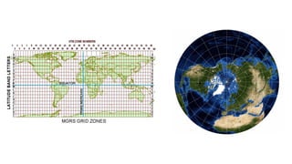
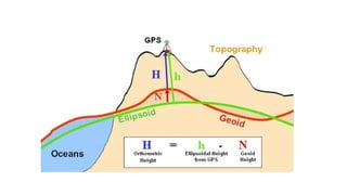
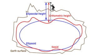
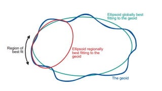
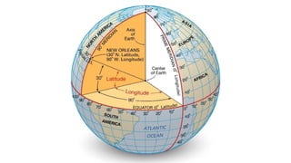

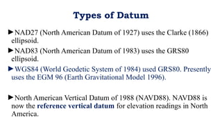


The document explains geodetic datums, defining horizontal datum as the relationship between the physical Earth and coordinates like latitude and longitude, and vertical datum as the baseline for measuring elevations. It outlines various types of datums including NAD27, NAD83, WGS84, and NAVD88, highlighting their ellipsoid foundations and current usage. NAVD88 is established as the reference for elevation measurements in North America.


