Download to read offline
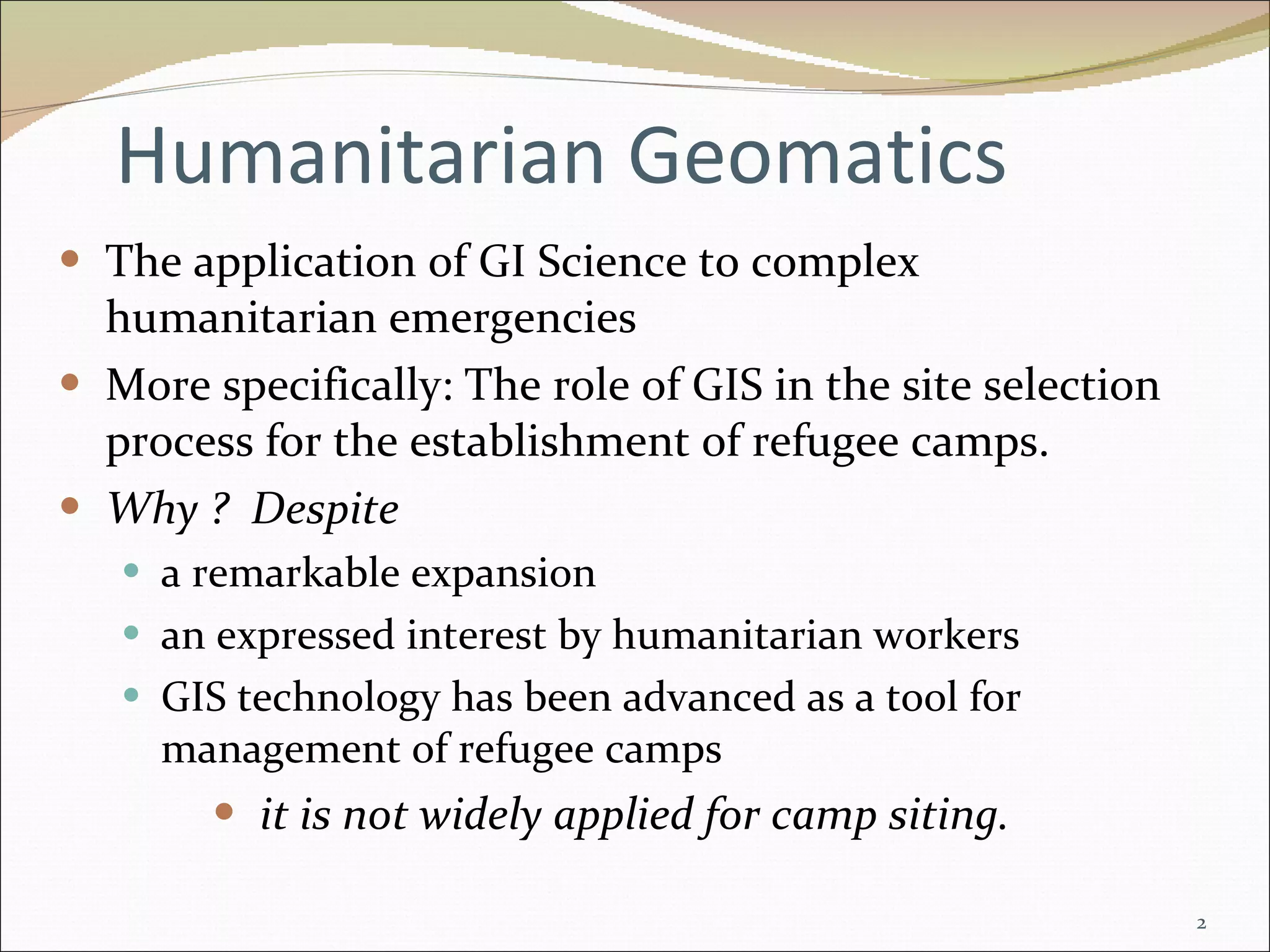
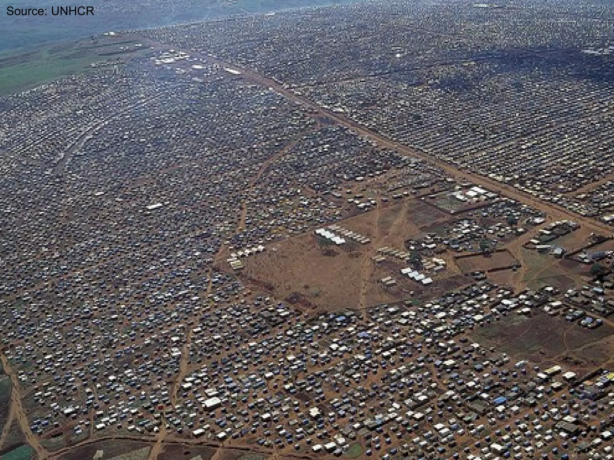

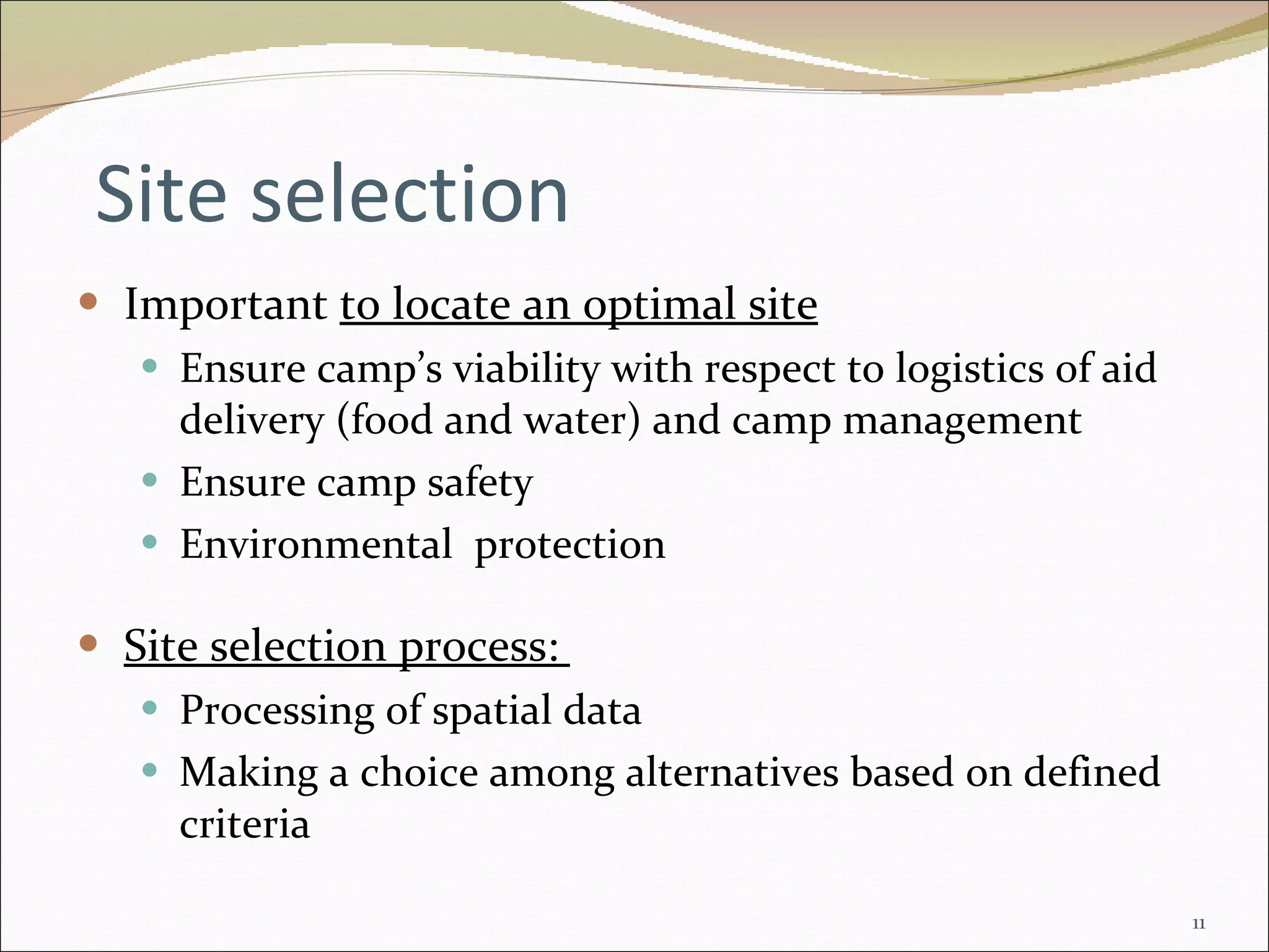
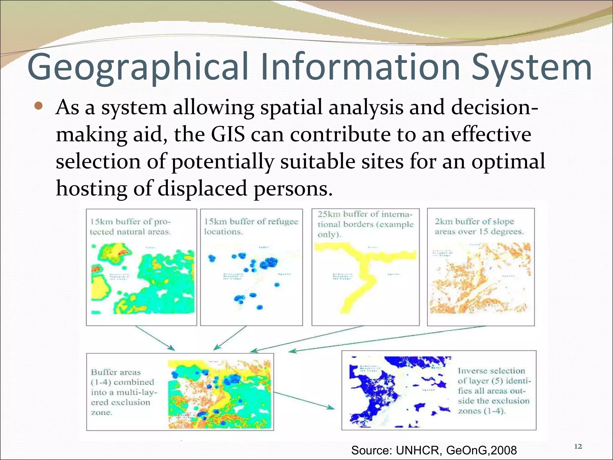
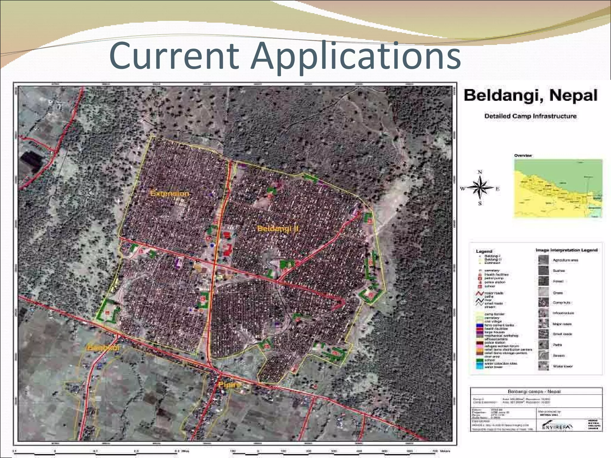
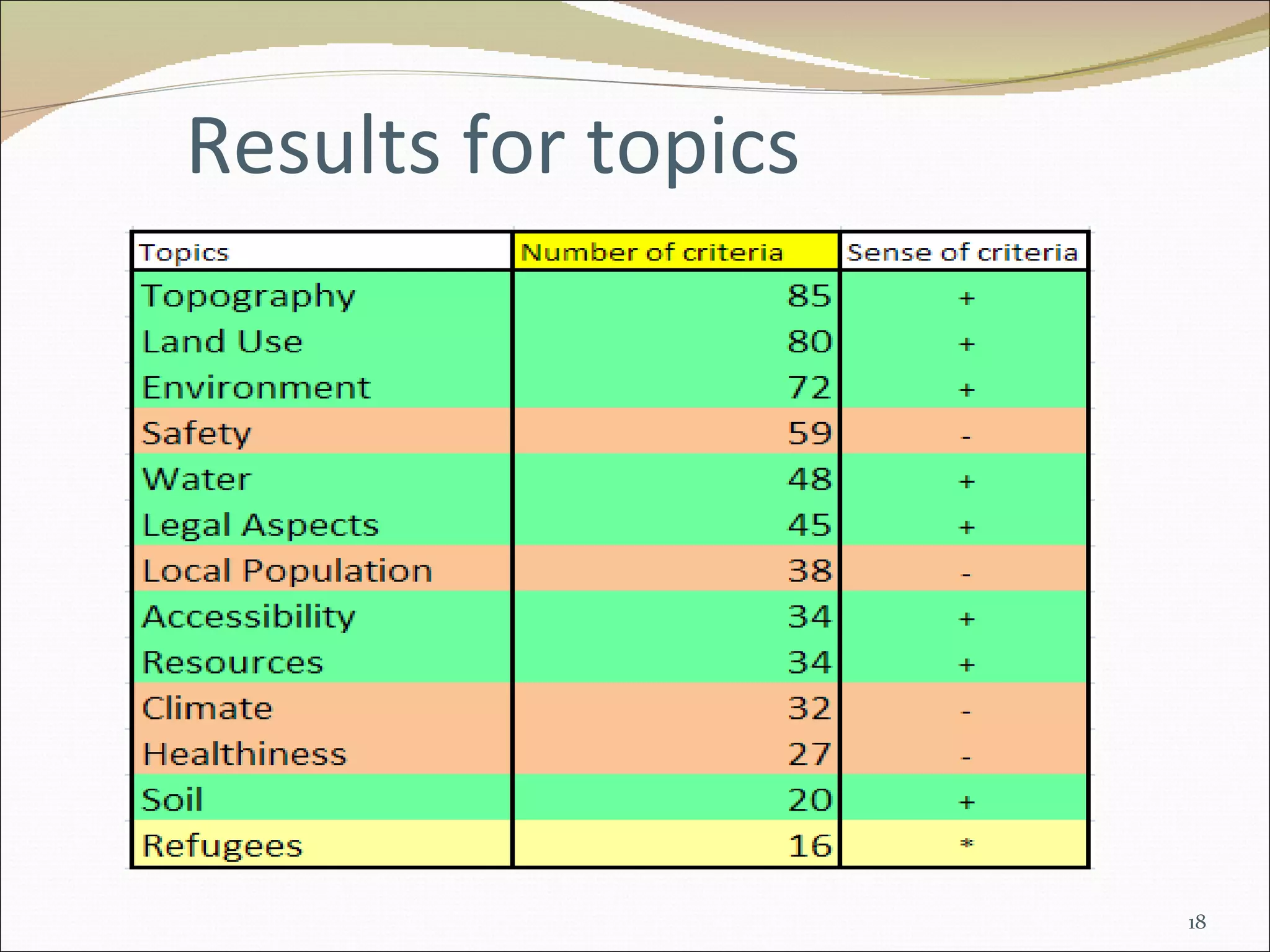
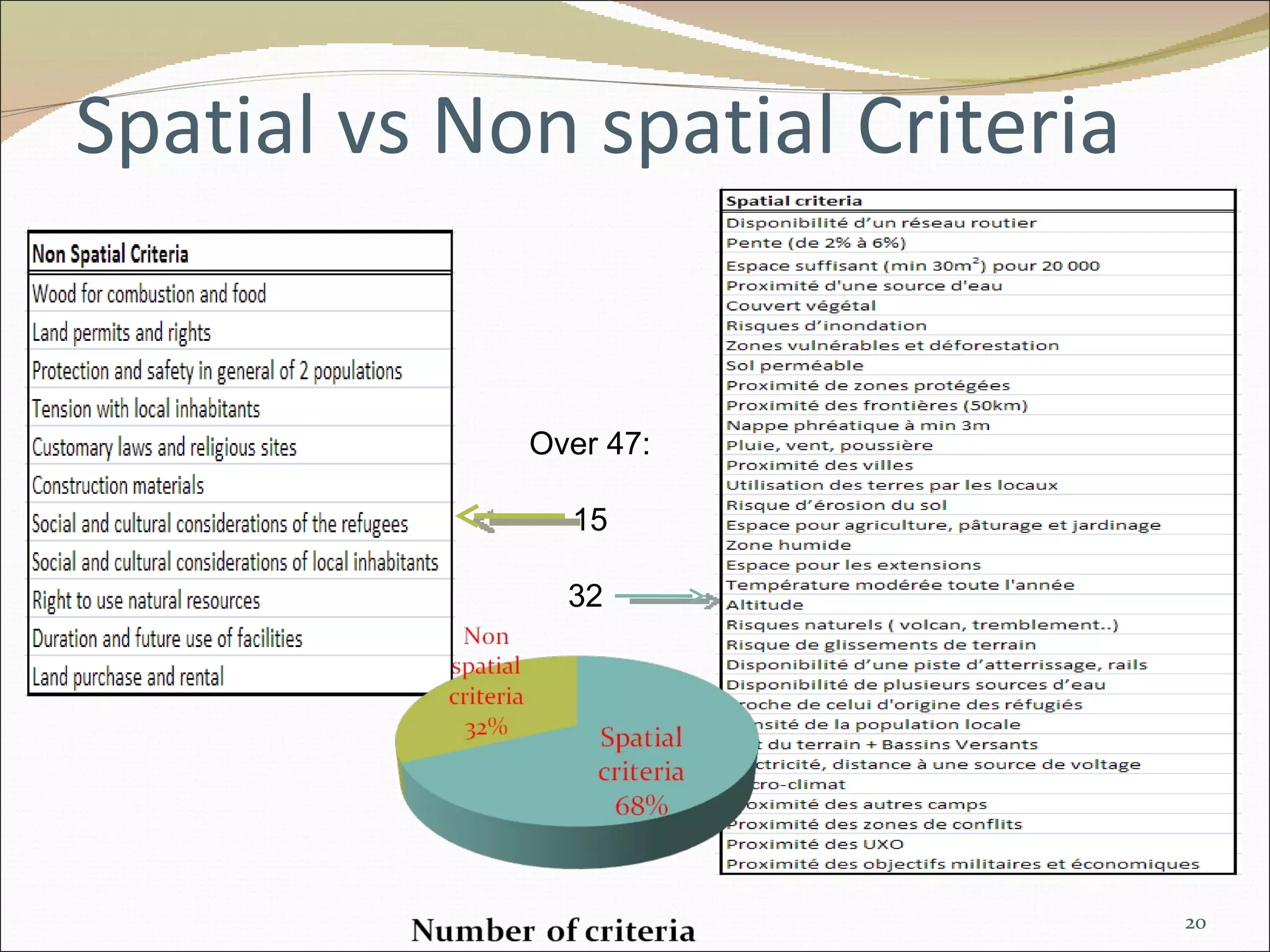
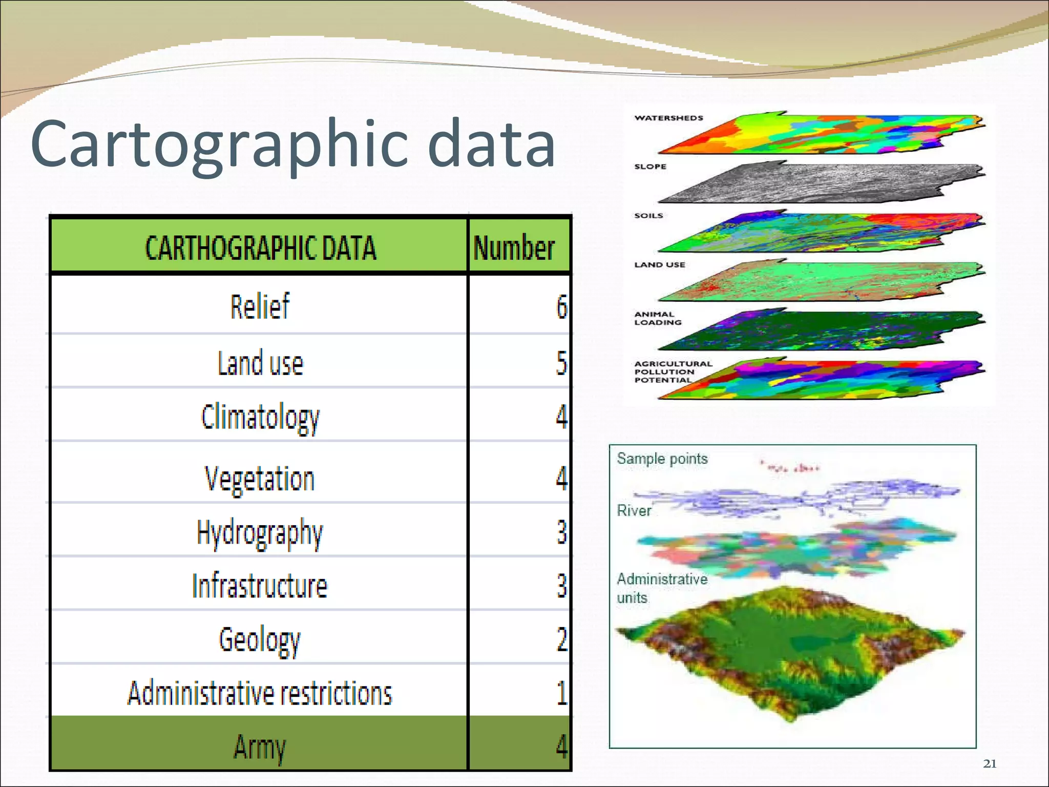
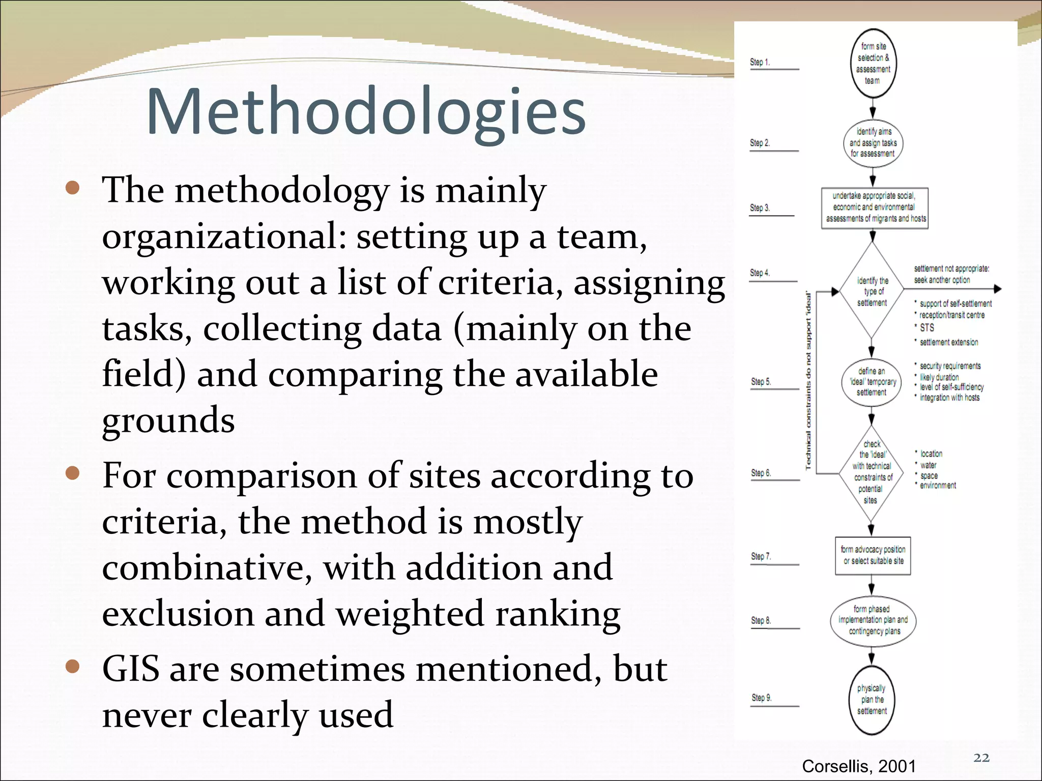
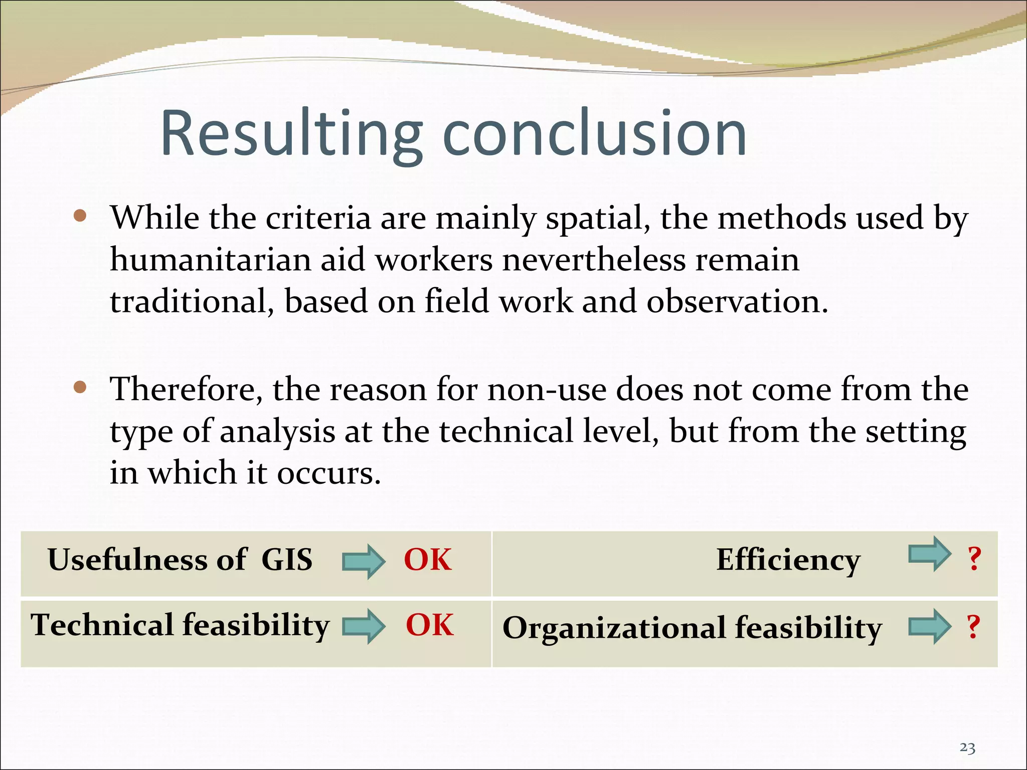
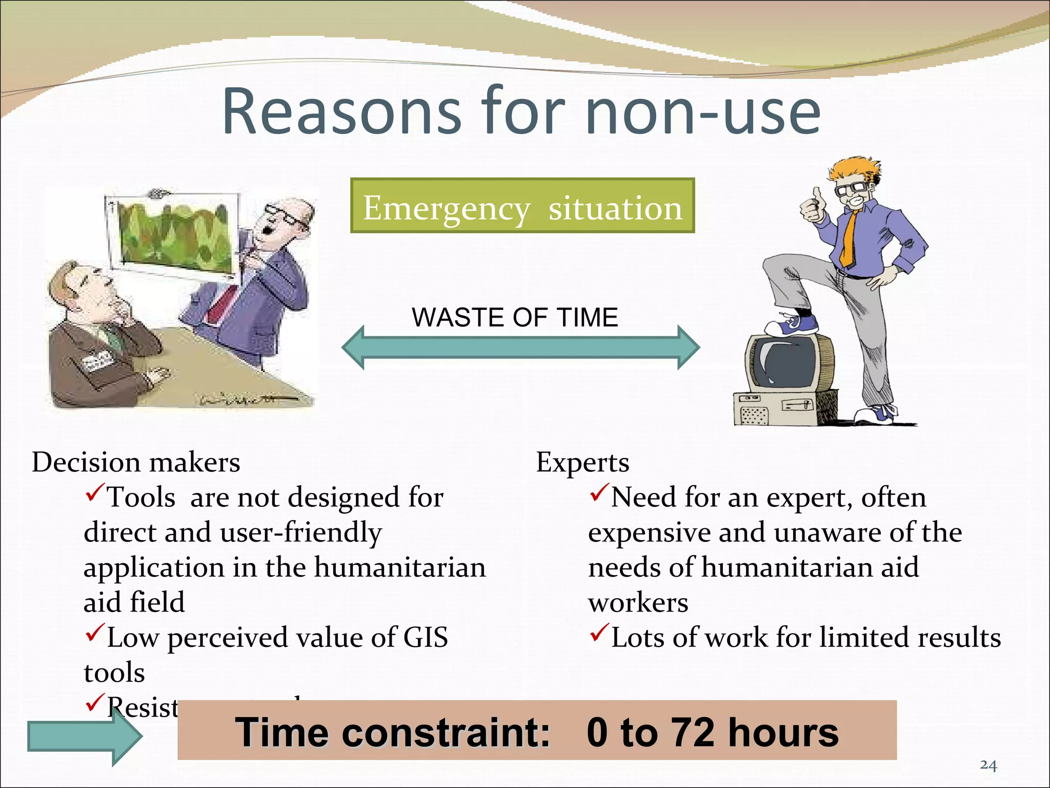

The document discusses the use of GIS in selecting sites for refugee camps. While GIS could help with the spatial analysis needs of selecting optimal camp locations, it is currently not widely used for this purpose. The main reasons for non-use include time constraints in emergency situations, a lack of user-friendly GIS tools designed for humanitarian work, and the need for expensive GIS experts rather than tools accessible to decision makers. For GIS to be effectively used, the tools would need to be improved for direct use under time pressures and grant immediate access to relevant spatial data.


