Download to read offline
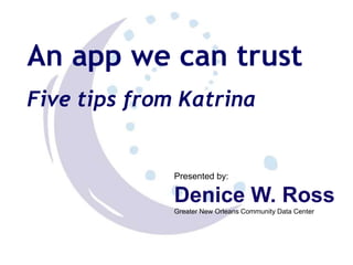


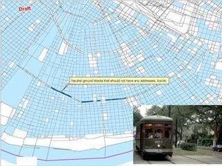
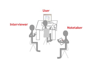


This document provides five tips for creating an app that can be trusted by the local community from Katrina's perspective. The tips are to have a well-defined question based on user needs, make sure the data can answer the question, include clear metadata, fix errors that matter locally, and optimize usability through field testing. Following these tips can help create a credible app that makes recovery smoother for New Orleans residents.


