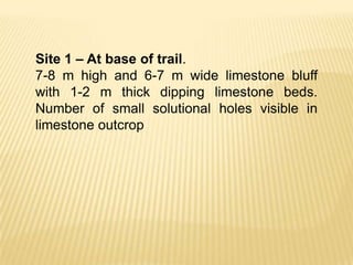
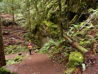
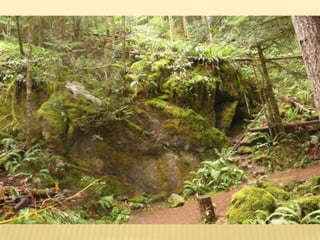
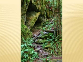
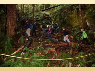
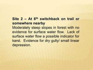
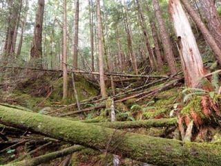
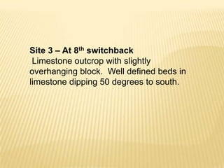
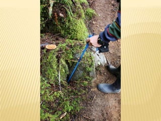
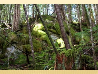
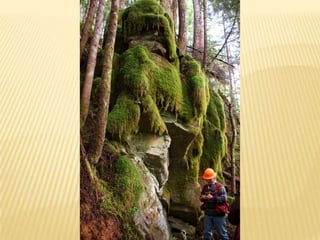
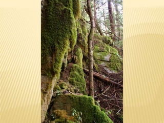
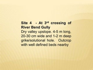
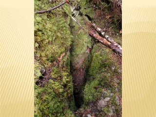
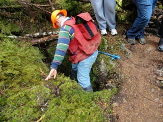
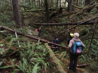
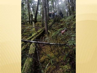
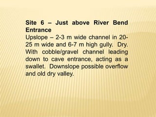
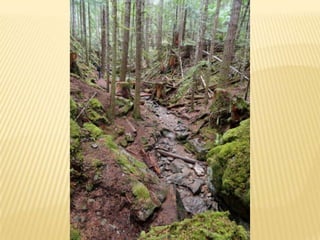
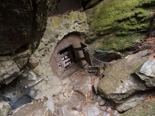
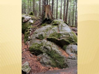
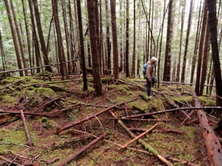
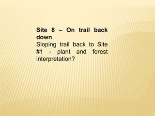
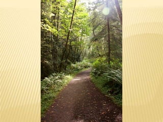
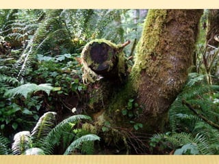
HORNE LAKE FIELD TRIP – PHOTOS &
NOTES – SEPTEMBER 18, 2011
Site 1 – At base of trail.
7-8 m high and 6-7 m wide limestone bluff
with 1-2 m thick dipping limestone beds.
Number of small solutional holes visible in
limestone outcrop
Site 2 – At 6th switchback on trail or
somewhere nearby
Moderately steep slopes in forest with no
evidence for surface water flow. Lack of
surface water flow a possible indicator for
karst. Evidence for dry gully/ small linear
depression.
Site 3 – At 8th switchback
 Limestone outcrop with slightly
overhanging block. Well defined beds in
limestone dipping 50 degrees to south.
Site 4 - At 3rd crossing of
River Bend Gully
Dry valley upslope. 4-5 m long,
20-30 cm wide and 1-2 m deep
grike/solutional hole. Outcrop
with well defined beds nearby
Site 5 – The big and small sinkholes
Small lookout on side of trail. Three sinkholes
present – one large, one small and one
possible. Large sinkhole oval in shape 25-30
m long, 15 m wide and 3-5 m deep. Two
possible drainage foci, with two small
solutional openings in one. Possibly two
sinkholes that have coalesced.            Small
sinkhole nearer to trail 5-6 m diameter and 2
m deep, 60-70% sideslopes. Smaller less
defined depression upslope of small sinkhole
– possible sinkhole.
Site 6 – Just above River Bend
Entrance
Upslope – 2-3 m wide channel in 20-
25 m wide and 6-7 m high gully. Dry.
With cobble/gravel channel leading
down to cave entrance, acting as a
swallet. Downslope possible overflow
and old dry valley.
Site 7 – Cougar Cave area
Cave entrance 1 m by 1 m, with steep
drop into passage <10 m long. Lots of
rounded limestone outcrop with
exposed epikarst surface and solutional
holes and thin soil cover. 6-7 m long
and 0.5 m wide and >1 m deep grike
feature.
Site 8 – On trail back
down
Sloping trail back to Site
#1 - plant and forest
interpretation?
Assignment 3 field photos  notes, september 18, 2011

Assignment 3 field photos notes, september 18, 2011

  • 1.
    HORNE LAKE FIELDTRIP – PHOTOS & NOTES – SEPTEMBER 18, 2011
  • 8.
    Site 1 –At base of trail. 7-8 m high and 6-7 m wide limestone bluff with 1-2 m thick dipping limestone beds. Number of small solutional holes visible in limestone outcrop
  • 14.
    Site 2 –At 6th switchback on trail or somewhere nearby Moderately steep slopes in forest with no evidence for surface water flow. Lack of surface water flow a possible indicator for karst. Evidence for dry gully/ small linear depression.
  • 20.
    Site 3 –At 8th switchback Limestone outcrop with slightly overhanging block. Well defined beds in limestone dipping 50 degrees to south.
  • 26.
    Site 4 -At 3rd crossing of River Bend Gully Dry valley upslope. 4-5 m long, 20-30 cm wide and 1-2 m deep grike/solutional hole. Outcrop with well defined beds nearby
  • 31.
    Site 5 –The big and small sinkholes Small lookout on side of trail. Three sinkholes present – one large, one small and one possible. Large sinkhole oval in shape 25-30 m long, 15 m wide and 3-5 m deep. Two possible drainage foci, with two small solutional openings in one. Possibly two sinkholes that have coalesced. Small sinkhole nearer to trail 5-6 m diameter and 2 m deep, 60-70% sideslopes. Smaller less defined depression upslope of small sinkhole – possible sinkhole.
  • 36.
    Site 6 –Just above River Bend Entrance Upslope – 2-3 m wide channel in 20- 25 m wide and 6-7 m high gully. Dry. With cobble/gravel channel leading down to cave entrance, acting as a swallet. Downslope possible overflow and old dry valley.
  • 39.
    Site 7 –Cougar Cave area Cave entrance 1 m by 1 m, with steep drop into passage <10 m long. Lots of rounded limestone outcrop with exposed epikarst surface and solutional holes and thin soil cover. 6-7 m long and 0.5 m wide and >1 m deep grike feature.
  • 42.
    Site 8 –On trail back down Sloping trail back to Site #1 - plant and forest interpretation?