
Recommended
Recommended
More Related Content
Similar to Drone Survey Mapping | Aerial Photography Survey - EpitomeGs
Similar to Drone Survey Mapping | Aerial Photography Survey - EpitomeGs (20)
More from NeerajMudgil1
More from NeerajMudgil1 (20)
Recently uploaded
Recently uploaded (20)
Drone Survey Mapping | Aerial Photography Survey - EpitomeGs
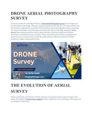
- 1. DRONE AERIAL PHOTOGRAPHY SURVEY In the vast realm of surveying techniques, Drone Aerial Photography survey have emerged as a transformative technology, offering a unique perspective from the sky. This article delves into the evolution, applications, and future trends of drone aerial photography survey, unraveling the myriad advantages and challenges associated with this cutting-edge approach. Drone survey have revolutionized the field of data collection, offering a nimble and efficient alternative to traditional survey methods. These unmanned aerial vehicles, equipped with advanced sensors and cameras, enable the rapid and cost-effective acquisition of high- resolution imagery and geospatial data. THE EVOLUTION OF AERIAL SURVEY Aerial survey have a rich history, initially relying on manned aircraft to capture images from above. The advent of Drone survey mapping marked a significant shift, providing a more agile and cost-effective alternative.
- 2. BENEFITS OF DRONE SURVEY COST EFFECTIVE: Reduced Expenses: Drone survey often require fewer resources than traditional survey methods, such as manned aircraft or ground surveys. Faster Deployment: Drones can cover large areas quickly, reducing the time and manpower needed for data collection. TIME-SAVING ADVANTAGES The nimble nature of drones allows for rapid data collection, reducing the time required for surveying large areas. APPLICATIONS OF DRONE AERIAL SURVEY 1. Agriculture: o Drones equipped with sensors can monitor crop health, assess irrigation needs, and identify areas requiring intervention, optimizing agricultural practices and resource utilization. 2. Construction and Infrastructure: o Aerial surveys aid in site planning, monitoring construction progress, and inspecting infrastructure. High-resolution imagery provides valuable insights into project development and assists in identifying potential issues early on. 3. Environmental Monitoring: o Drones play a crucial role in environmental research by monitoring ecosystems, tracking wildlife, and assessing the impact of human activities. They facilitate efficient data collection for biodiversity studies and conservation efforts. 4. Oil and Gas Industry: o Drones are employed in the oil and gas sector for pipeline monitoring, facility inspections, and surveillance. They enhance safety and efficiency by reducing the need for manual inspections in challenging environments.
- 3. KEY TECHNOLOGIES IN DRONE AERIAL SURVEY GPS AND GIS INTEGRATION Combining GPS and GIS technology ensures precise georeferencing, enhancing the accuracy of survey data. LIDAR TECHNOLOGY Light Detection and Ranging (LiDAR) technology enables 3D mapping, crucial for detailed terrain analysis. OVERCOMING CHALLENGES IN DRONE AERIAL SURVEY REGULATORY COMPLIANCE Navigating airspace regulations and obtaining necessary permits remain crucial challenges in drone surveying. WEATHER CONDITIONS Adverse weather can impede drone flights, emphasizing the need for strategic scheduling. FUTURE TRENDS IN AERIAL SURVEYING
- 4. Anticipated developments include enhanced autonomy, advanced sensors, and increased integration with artificial intelligence. CONCLUSION Drone Aerial Photography Survey Mapping has not only revolutionized traditional surveying methods but has also opened new frontiers in data acquisition and analysis. As technology advances, the integration of drones with other emerging technologies promises even more exciting possibilities in various fields. Get more info visit: www.epitomegs.com