This document discusses the proposed Port of Dhamra in India. It covers:
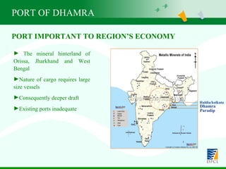
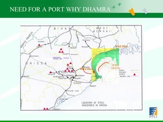
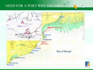
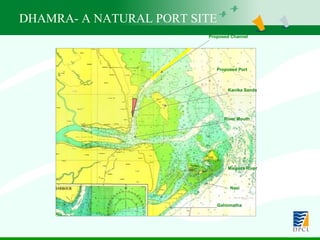
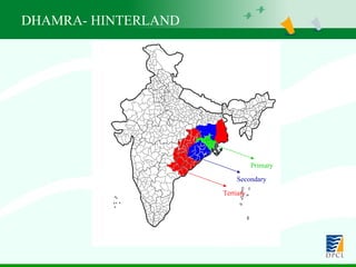
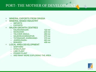
1) The need for the port due to the mineral resources in the region and inadequacy of existing ports. Dhamra was selected as the optimal location.
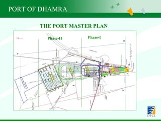
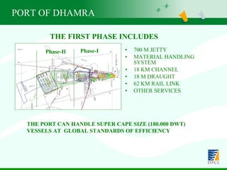
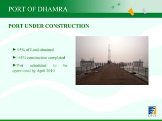
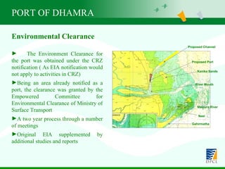
2) Details of the port plan, which will include an 18m deep channel and facilities to handle large vessels. The port is under construction.
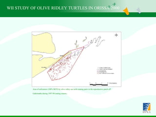
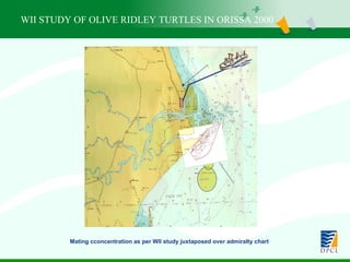
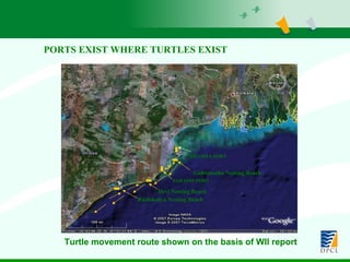
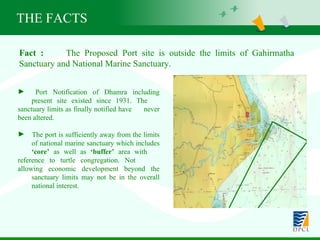
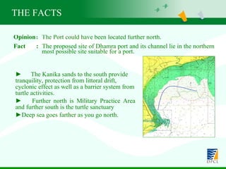
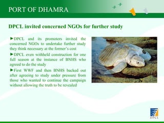
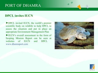
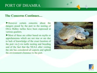
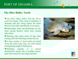
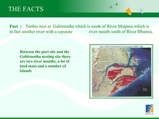
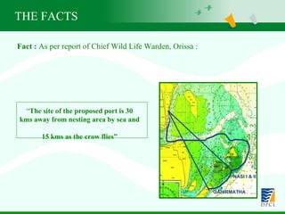
3) Addressing environmental concerns about impacts on olive ridley turtles. Studies have found the port site is not a nesting area and is far from major nesting beaches. Mitigation measures are being implemented under expert guidance.


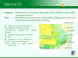
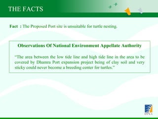
![Fact : Proposed site for Port lies in the only sector of Orissa coast where turtles do not nest Source: Book titled “Olive Ridley Sea Turtle (Lepidochelys Olivacea) and its nesting habitats along Orissa coast, India - a status survey” by B.Pandav , B. C. Choudhury and C. S. Kar ; Wildlife Institute of India, Dehradun, July 1994 THE FACTS Wide beach; Scattered sand dunes 1-2 m high; Degraded casuarinas vegetation Turtle nesting in 2-km long sand spits. Sandy Ganjam (60 kms) VIII Sand binder vegetation; sand dunes 5-6 m high; Turtle nesting is sporadic. Sandy Chilka (70 kms) VII Casuarinas vegetation; very high sand dunes 10-12 m high; Turtle nesting is sporadic. Sandy Puri (55 kms) VI Mangroves degraded; sand binder & casuarinas vegetation; Wide beach; sand dunes scattered 2-3 m high. Turtle nesting in 3-km long sand spits. Sandy Devi (30 kms) V Scattered sand dunes; extensive Casuarinas plantation; Turtle nesting is sporadic. Sandy Kujang (30 kms) IV Depleted Mangroves & extensive Casuarinas vegetation; Turtle nesting is sporadic. Sandy Paradeep (55 kms) III Wide beach; Extensive mangrove and Casuarinas vegetation; Turtle nesting in 4-km long sand spits. Sandy Gahirmatha (35 kms) II Shallow Coast; no turtle nesting Generally Muddy Balasore (130 kms) [Dhamra Port area comes under this stretch] I Features Nature of Beach Coast Name & Length Sl. No.](https://image.slidesharecdn.com/orissaforum-ii-090526033216-phpapp02/85/Ecofriendly-Dhamra-28-320.jpg)