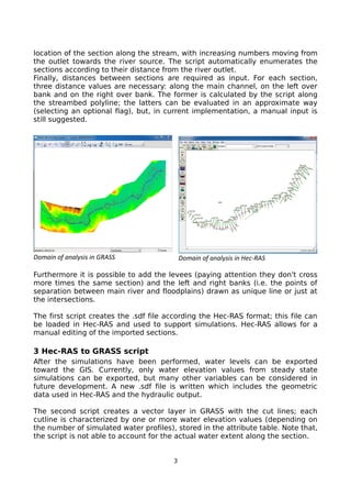
Scripts have been developed to facilitate two-way exchange of geometric and hydraulic data between GRASS GIS and the Hec-RAS hydraulic model. The scripts allow extracting cross-sections from a DEM and exporting them to Hec-RAS via a standard text file format. Additional data like riverbanks and levees can be included. After hydraulic simulation in Hec-RAS, water level results can be imported back into GRASS GIS for flood risk mapping and analysis. The open source workflow provides an alternative to proprietary tools and allows processing of high-resolution data directly in GRASS for hydraulic modeling.
![Hec ras 4.1-applications_guide[1]](https://cdn.slidesharecdn.com/ss_thumbnails/hec-ras4-140906052124-phpapp01-thumbnail.jpg?width=640&height=640&fit=bounds)