
Recommended
More Related Content
Similar to Romania's Geography Outlined
Similar to Romania's Geography Outlined (12)
Recently uploaded
Recently uploaded (20)
Romania's Geography Outlined
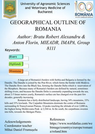
- 1. University of Agronomic Sciences and Veterinary Medicine of Bucharest GEOGRAPHICAL OUTLINE OF ROMANIA Author: Bratu Robert Alexandru & Anton Florin, MIEADR, IMAPA, Group 8111Keywords: A large art of Romania's borders with Serbia and Bulgaria is formed by the Danube. The Danube is joined by the Prut River, which forms the border with Modova. The Danube flows into the Black Sea, forming the Danube Delta which is reservation of the Biosphere. Because many of Romania's borders are defined by natural, sometimes shifting rivers, and because the Danube Delta is constantly expanding towards the sea, about 2-5 linear metres yearly, Romania's surface are has changed over the past few decades, generally increasing. Romania has a fairly distribuited landscape, having 34% mountains, 33% hills and 33% lowlands. The Carpathin Mountains dominate the centre of Romania surrounding th Transylvanian Plateau, 14 peaks reaching the altitude of over 2,000 m, the highest being Moldoveanu Peak at 2,544 m. In the south, the carpathians sweeten into hills, towards the Bărăgan Plains. Acknowledgements Coordonator teacher Mihai Daniel Frumușelu References https://www.worldatlas.com/we bimage/countrys/europe/romani a/roland.htm