This document proposes a GeoPackage standard for storing lidar point cloud data in a tile-based format. Key points:
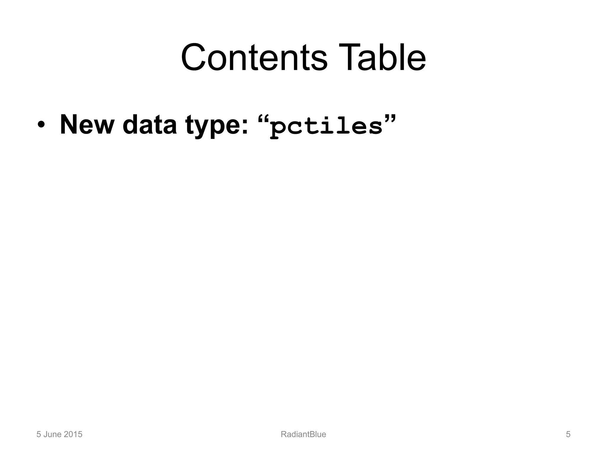
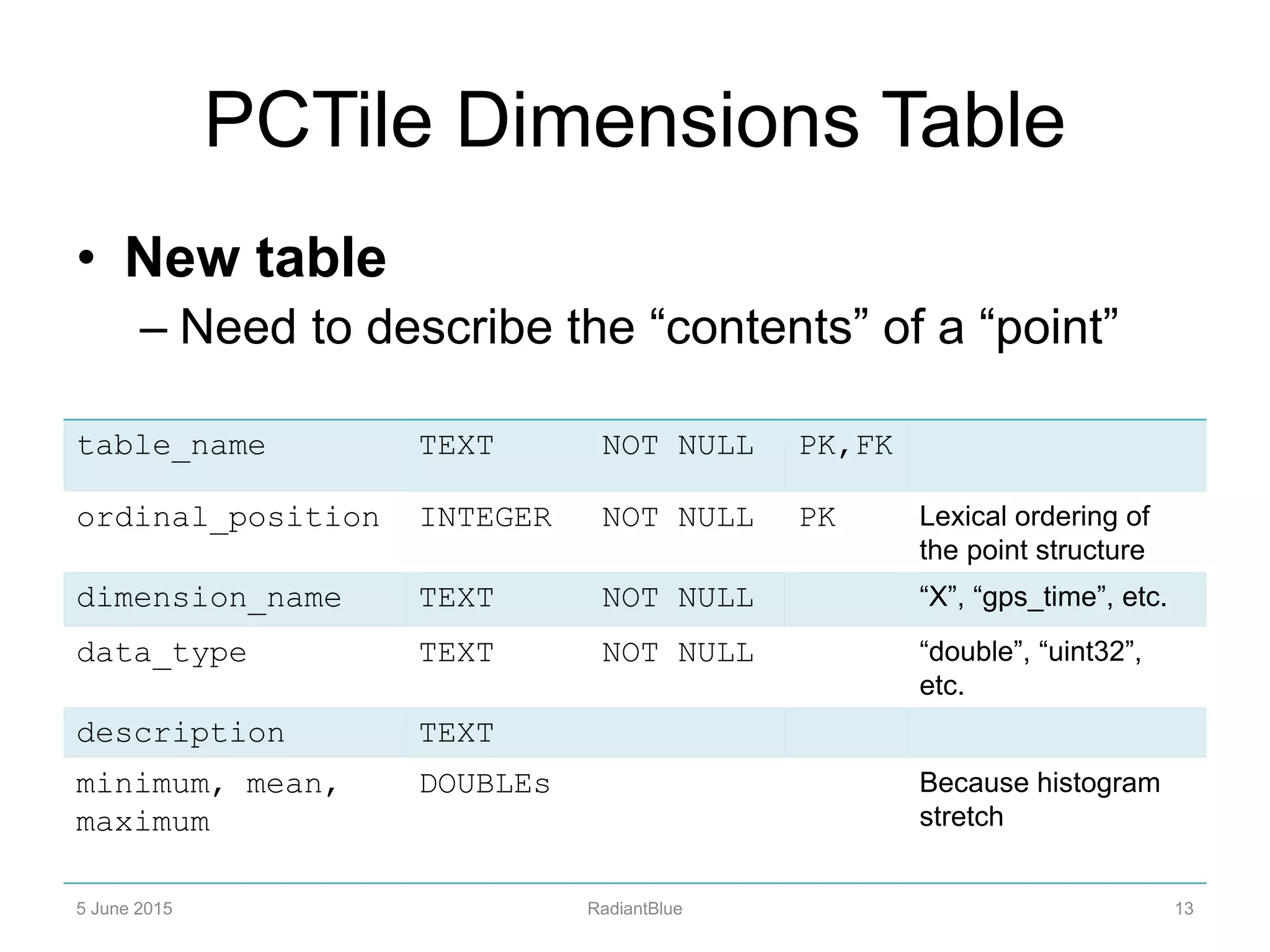
- It models point cloud data after the existing raster tile-based model in GeoPackage, storing point features in a new "pctiles" data type and adding a table to describe point dimensions.
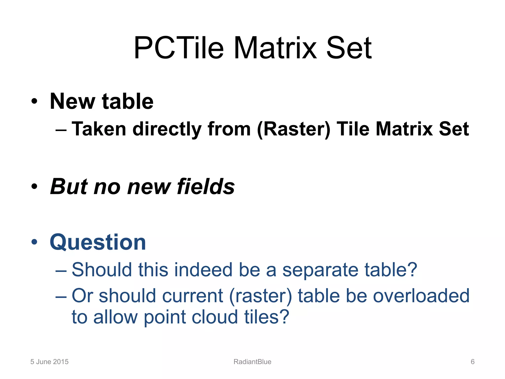
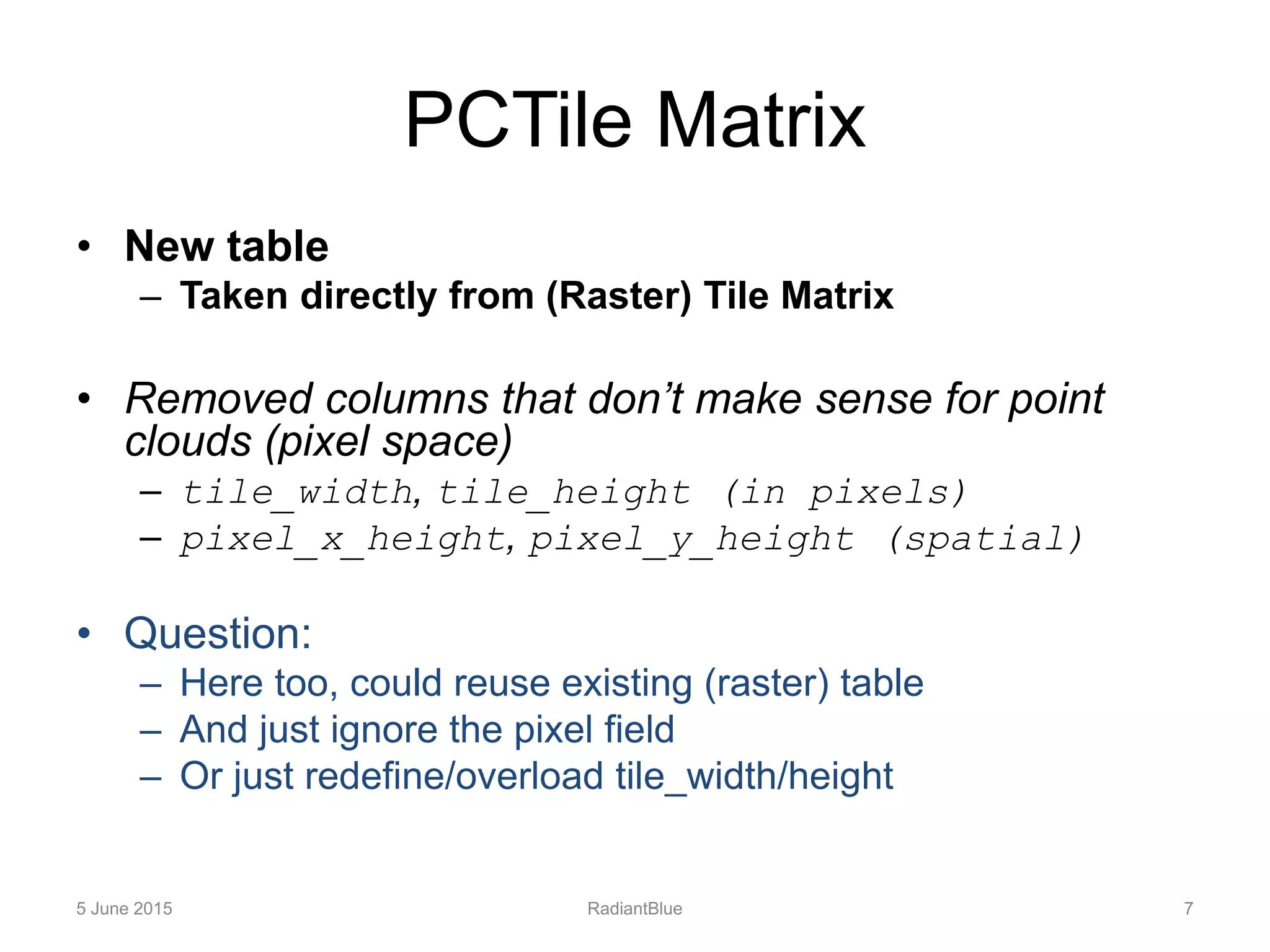
- The proposal reuses many of the existing GeoPackage tables like tile matrix set and tile matrix but removes fields that don't apply to point data like pixel dimensions.
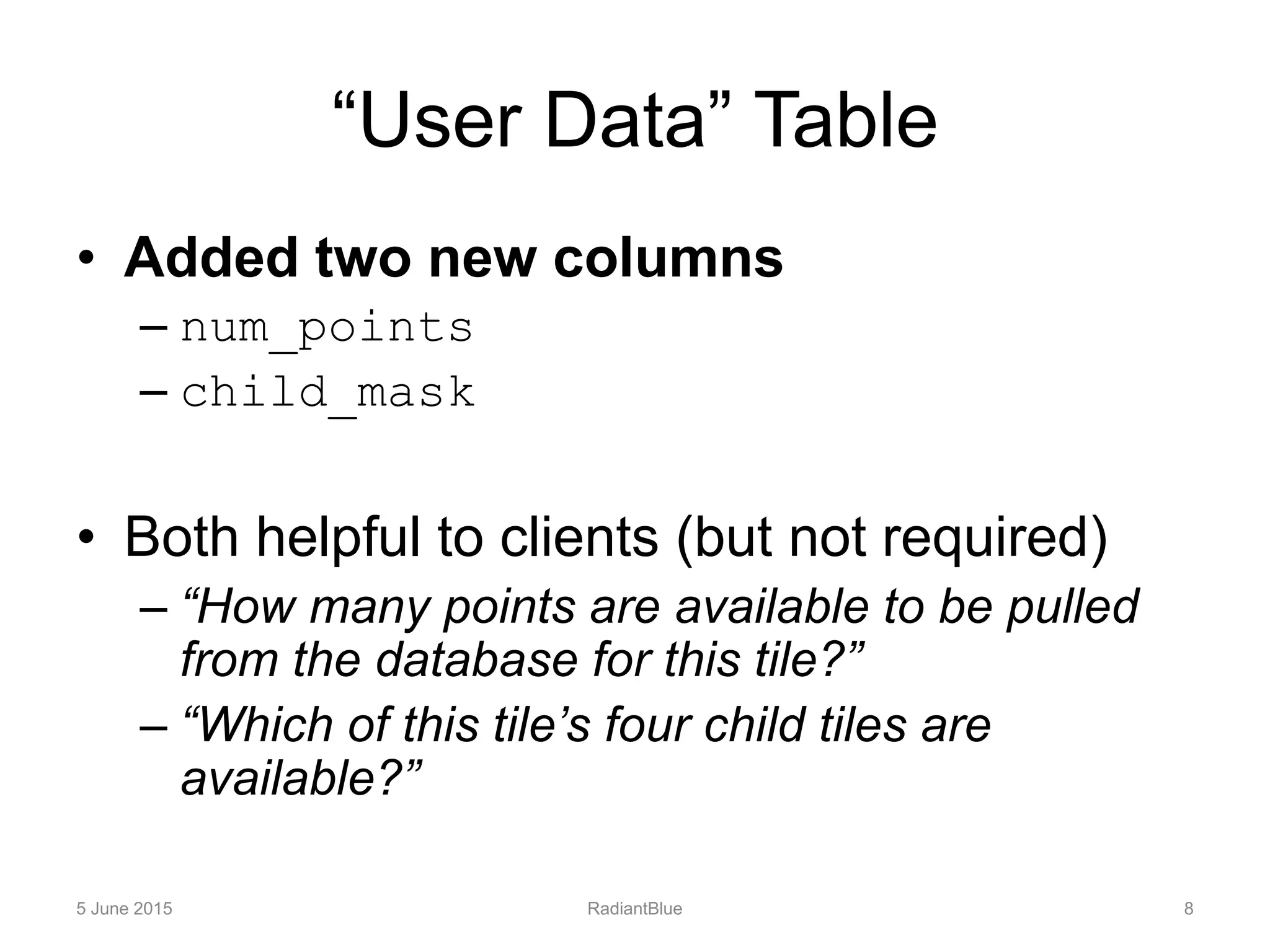
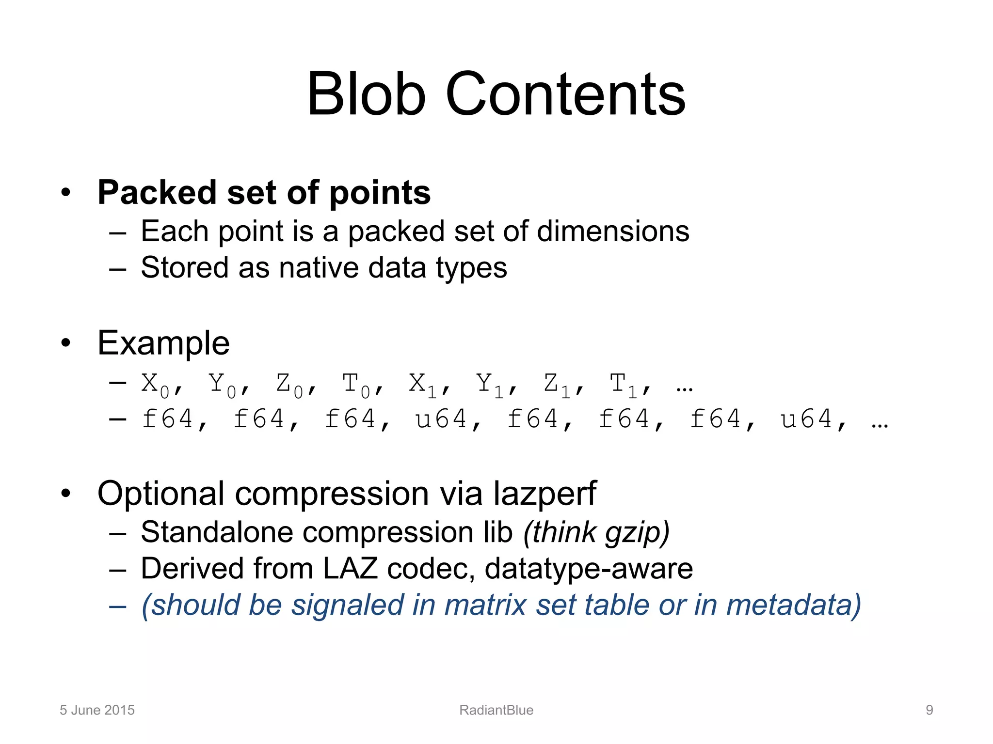
- It includes conventions for the blob contents storing each point as packed native data types, optional compression, and new fields in the user data table for things like point count per tile.
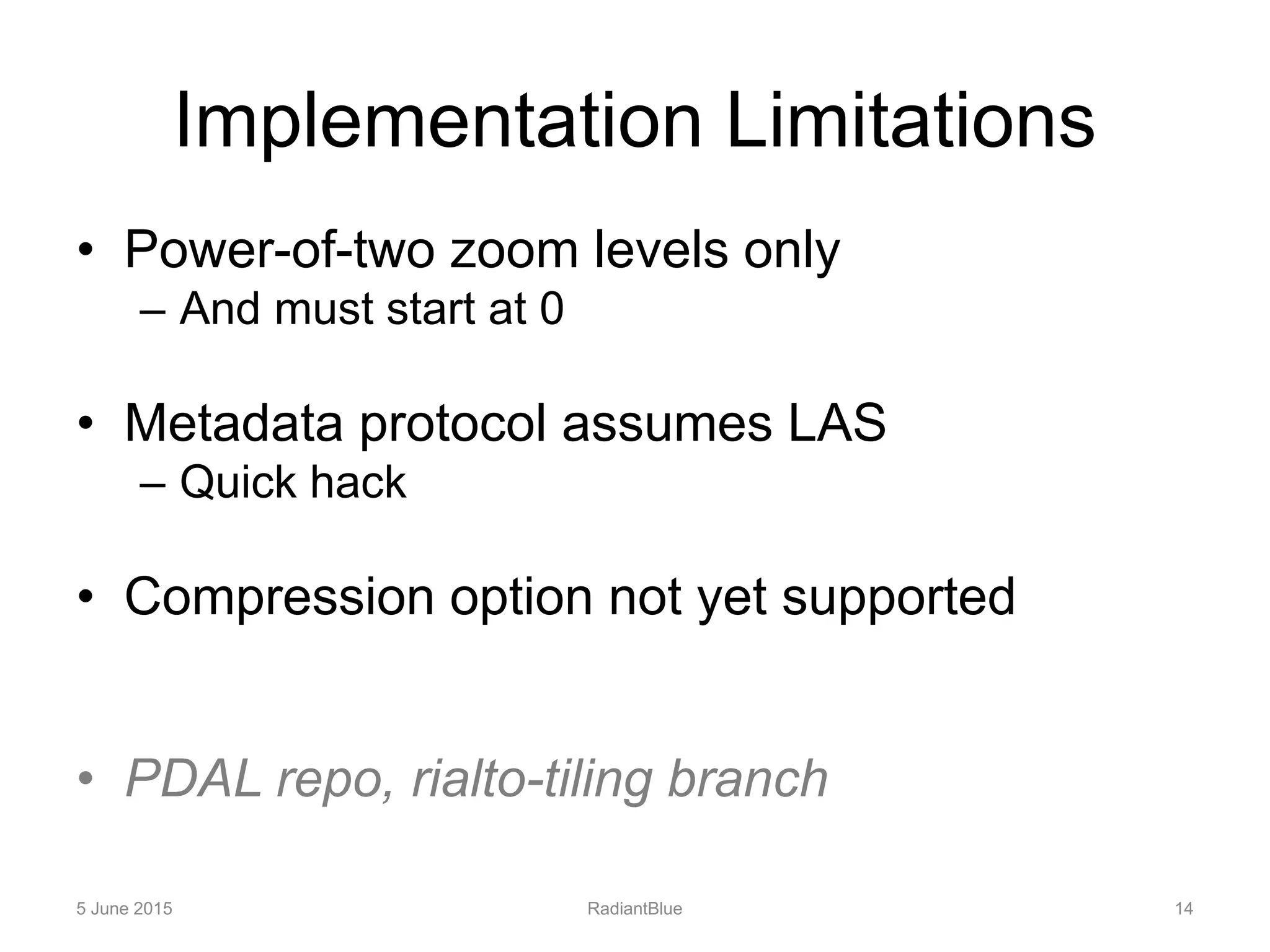
- The implementation is currently limited