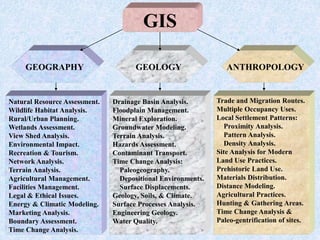
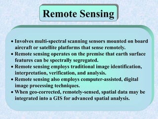
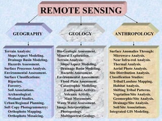
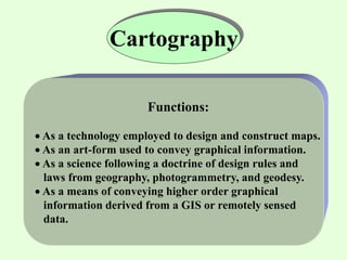
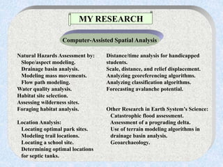
This document provides an introduction to geographic information systems (GIS). It discusses that GIS is a system for storing and analyzing spatial data through digital mapping and allows users to query data and perform spatial analysis. It also summarizes applications of GIS such as natural hazards assessment, habitat analysis, and location analysis as well as its connections to fields like cartography, remote sensing, geography, and spatial analysis.