Download to read offline


![Software and Technique
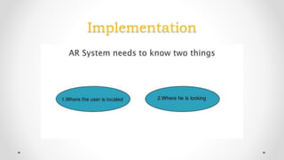
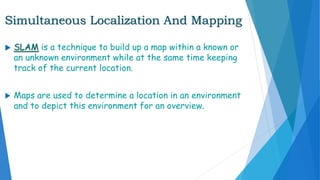
AR systems realistically integrate augmentations with the
real world by a process called image registration.
First detection of interest points.
Second is restoration of a real world coordinate system
from the data obtained in the first stage [SLAM].](https://image.slidesharecdn.com/7d631fbb-9adb-4206-9cac-4c0db370dfca-160927191825/85/AUGMENTED_REALITY-14-320.jpg)


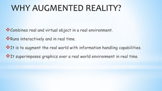
Augmented reality (AR) combines real and virtual objects in real time. AR enhances natural environments with overlays of supplemental information. This document discusses AR definitions, technologies like head-mounted displays and handheld devices, software techniques like SLAM, and applications in various fields like education, gaming, tourism and more. Examples provided include using AR for architectural design, medical training, and GPS navigation. Both opportunities and challenges of AR are addressed.


