Downloaded 192 times

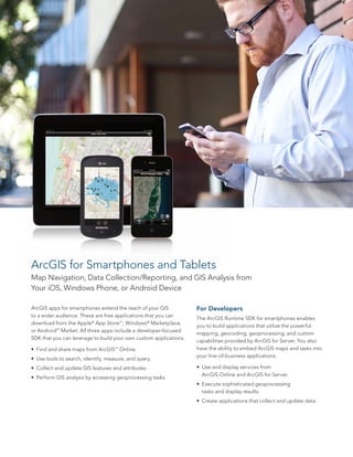

This document discusses Esri's mobile GIS solutions for field data collection and workforce mobility. It describes the key benefits of mobile GIS such as improved efficiency, accuracy, and real-time decision making. Esri offers applications like ArcPad, ArcGIS for Windows Mobile and Tablets, and ArcGIS for Smartphones that allow users to navigate maps, collect and update data, and perform analysis directly in the field. These applications integrate with ArcGIS for Server and Desktop to enable data sharing across the organization.