Download to read offline
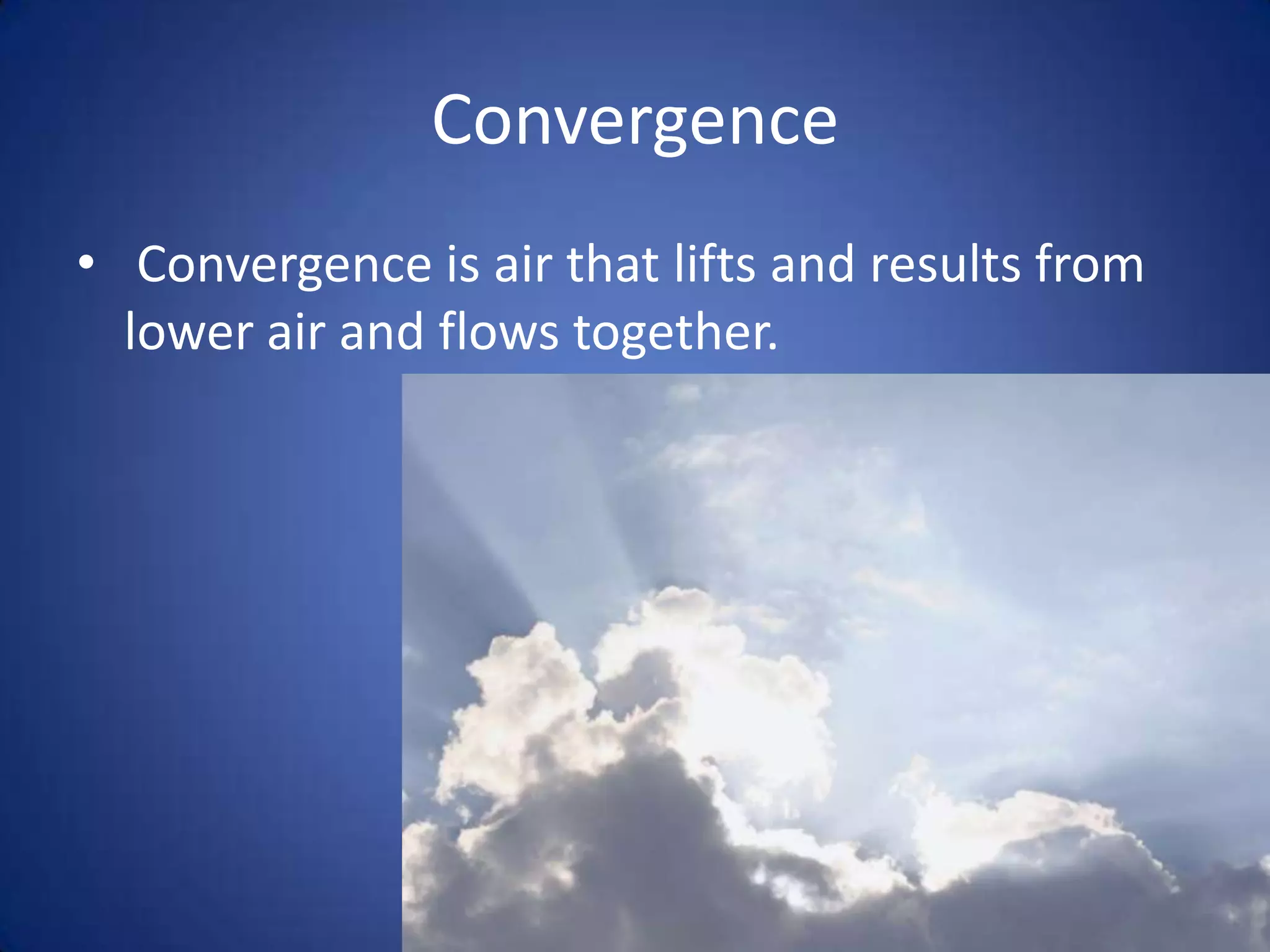
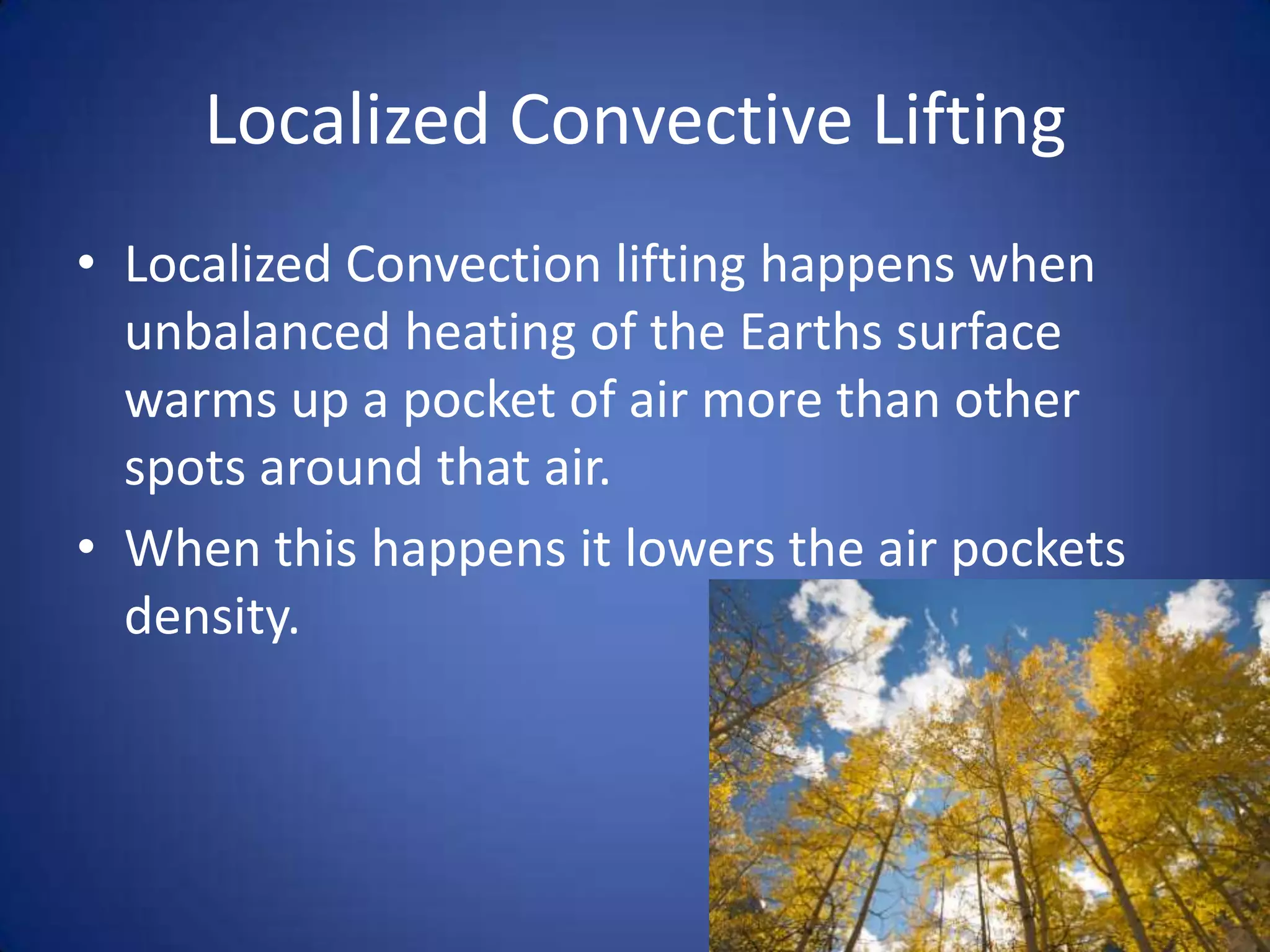
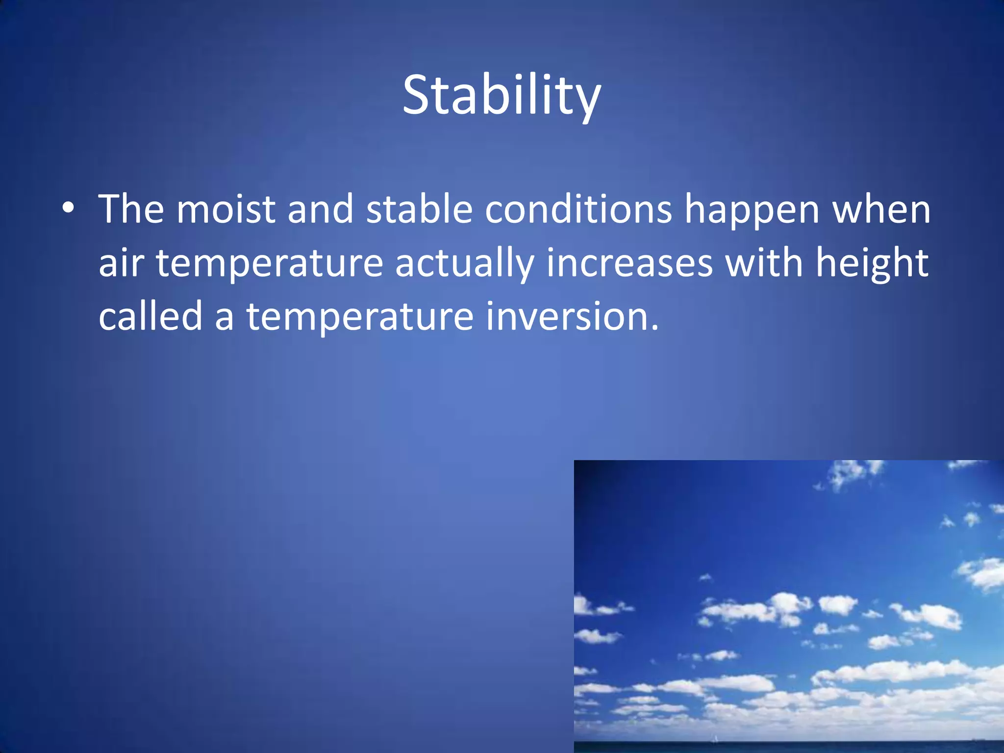
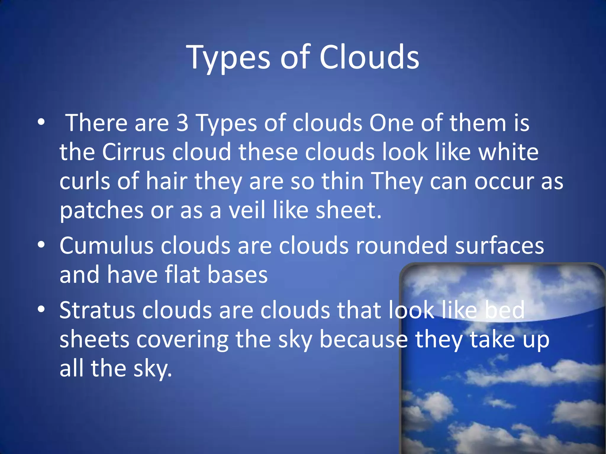
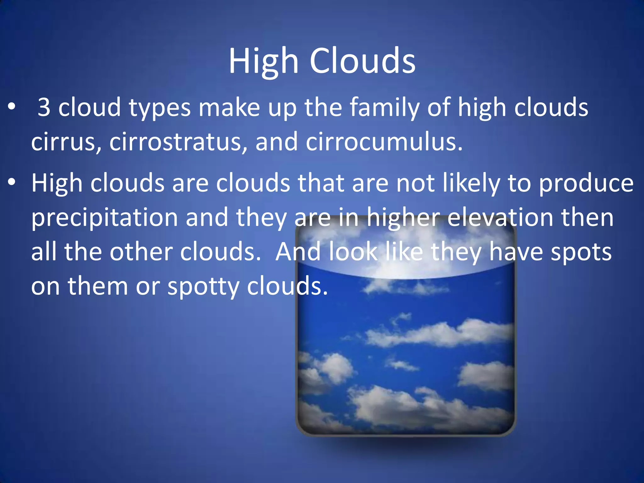
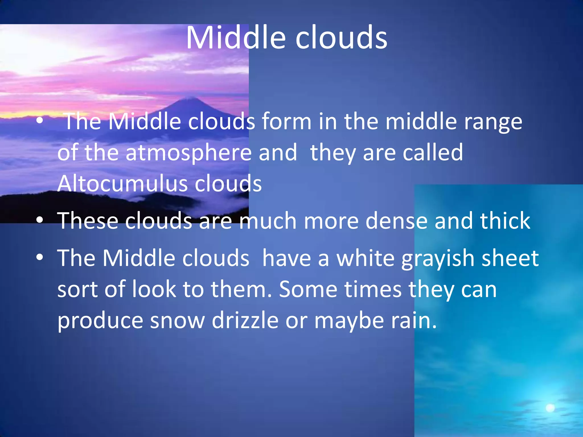
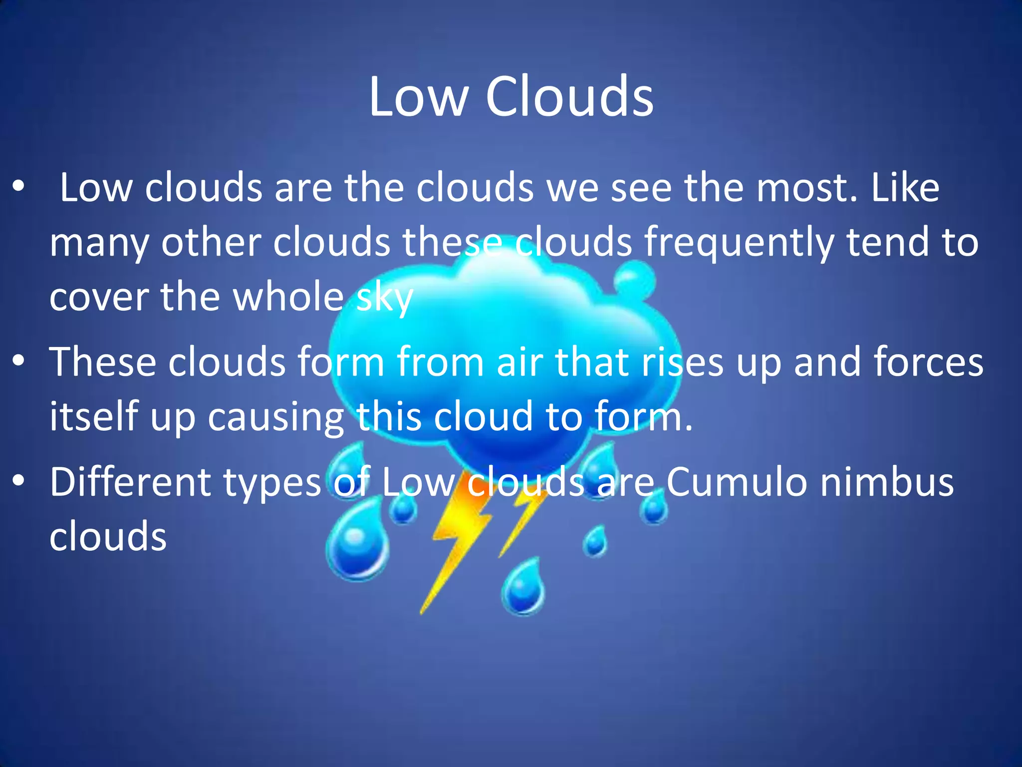

This document discusses different types of clouds and cloud formation processes. It describes adiabatic temperature changes, orographic lifting, frontal wedging, convergence, and localized convective lifting as mechanisms for cloud formation. It then defines high, middle, and low clouds and provides examples of cloud types in each category. Fog and vertically developing clouds are also briefly discussed.


