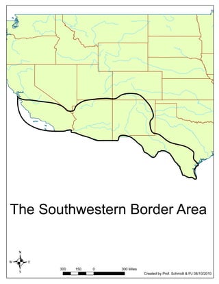
This map depicts the Southwestern border area of an unspecified country. It shows distances of 300 miles on the left and right sides and 150 miles on the top, with the bottom extending 300 miles. The map was created by Prof. Schmidt and PJ on August 10, 2010.