Download to read offline


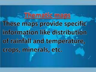
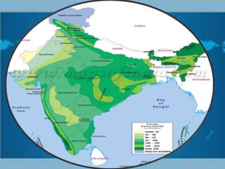
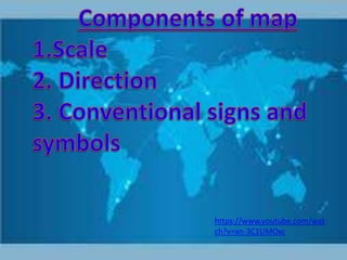
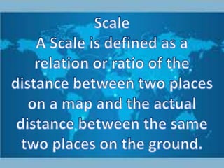
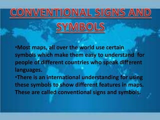
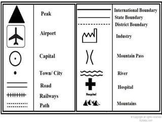


This document discusses map symbols and how they allow maps to be understood across languages. Standard symbols are used internationally to represent different map features in a consistent way, creating a common language so that maps can effectively convey geographic information to all readers regardless of what language they speak.