Downloaded 209 times

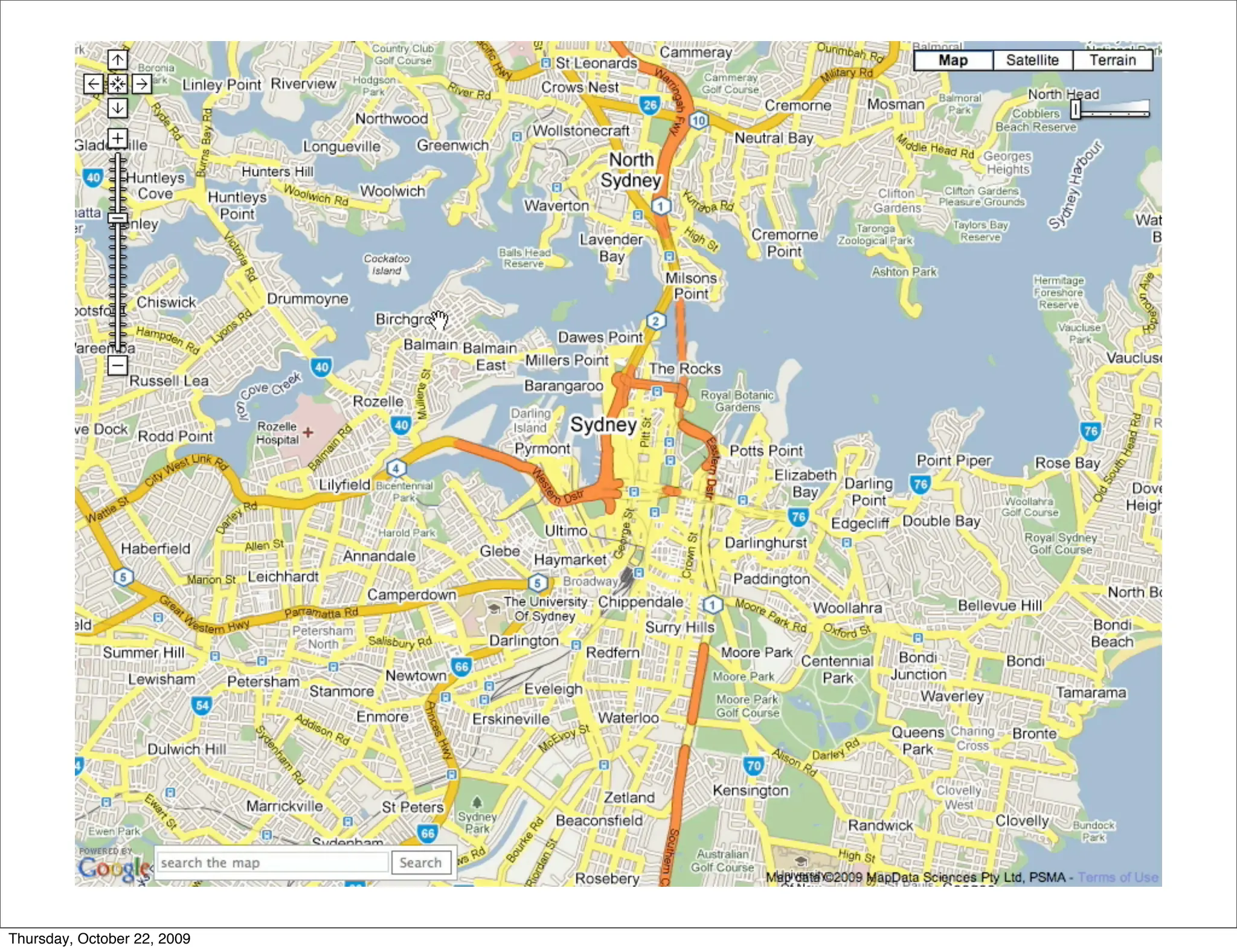
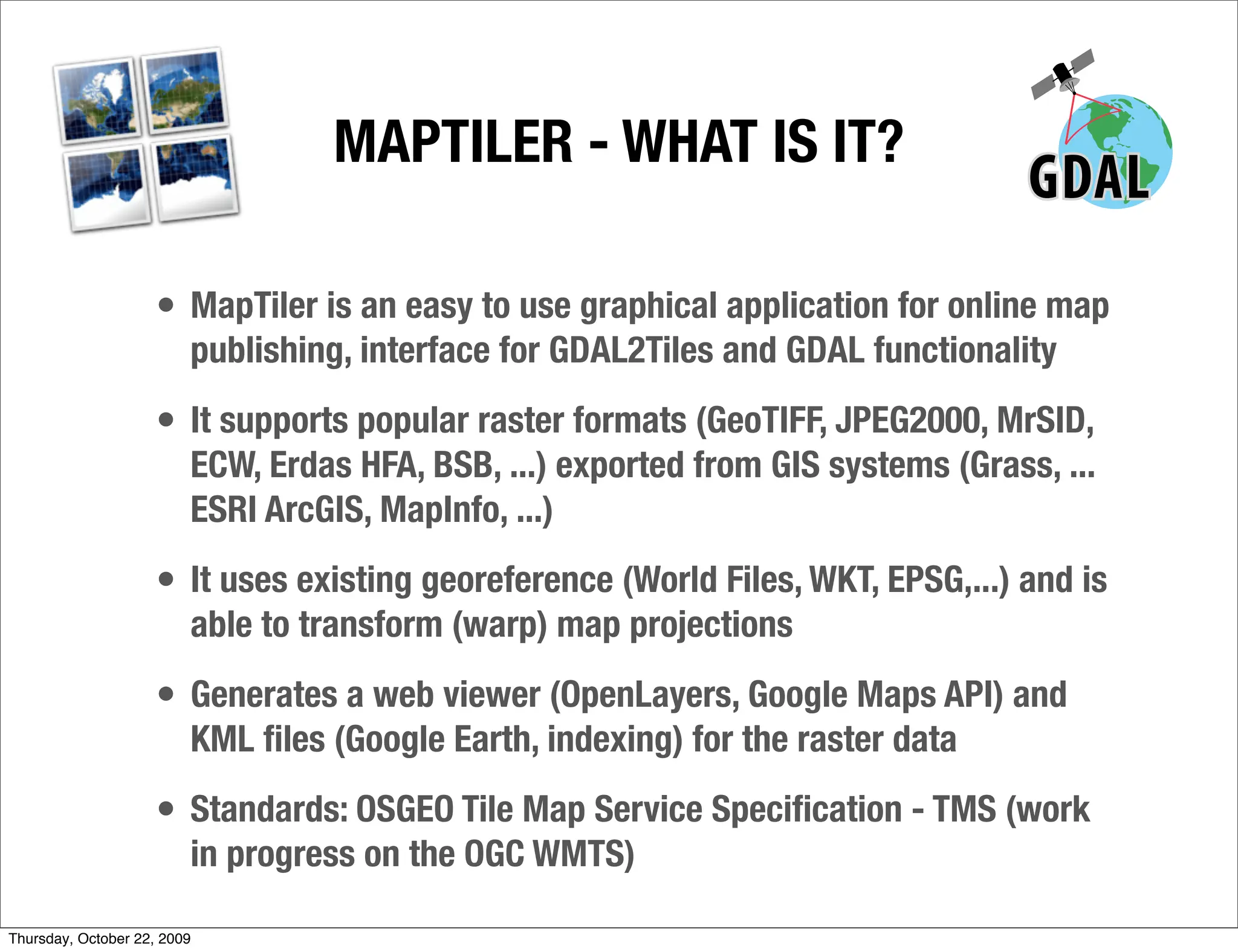
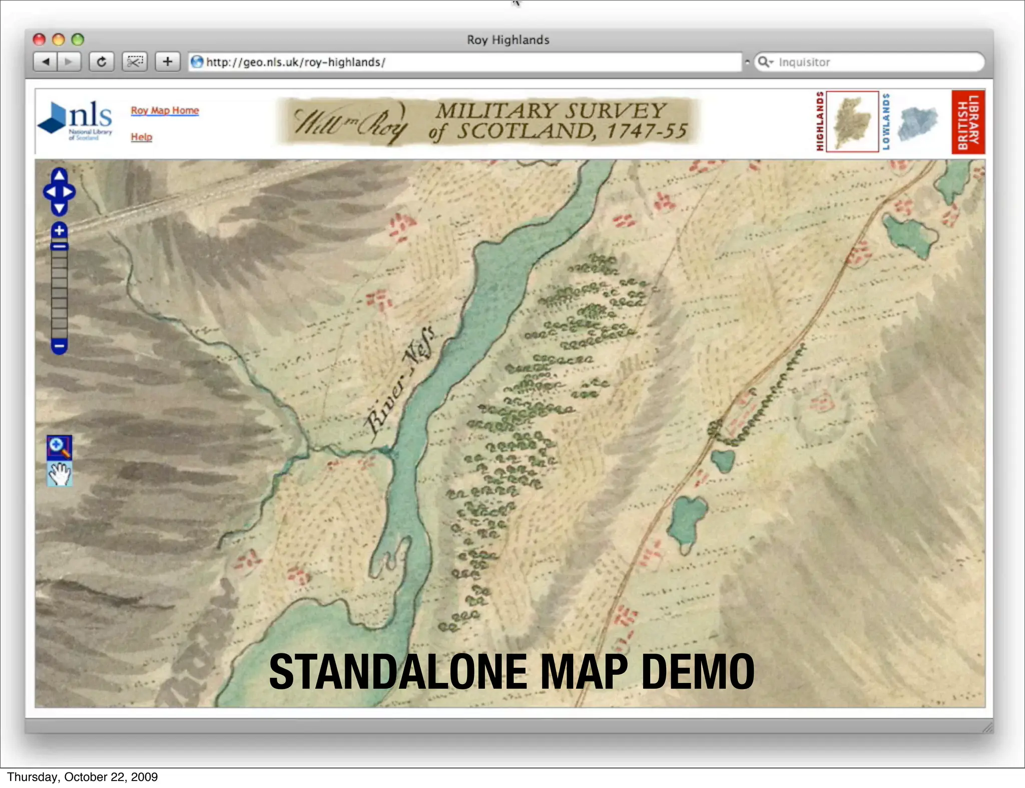
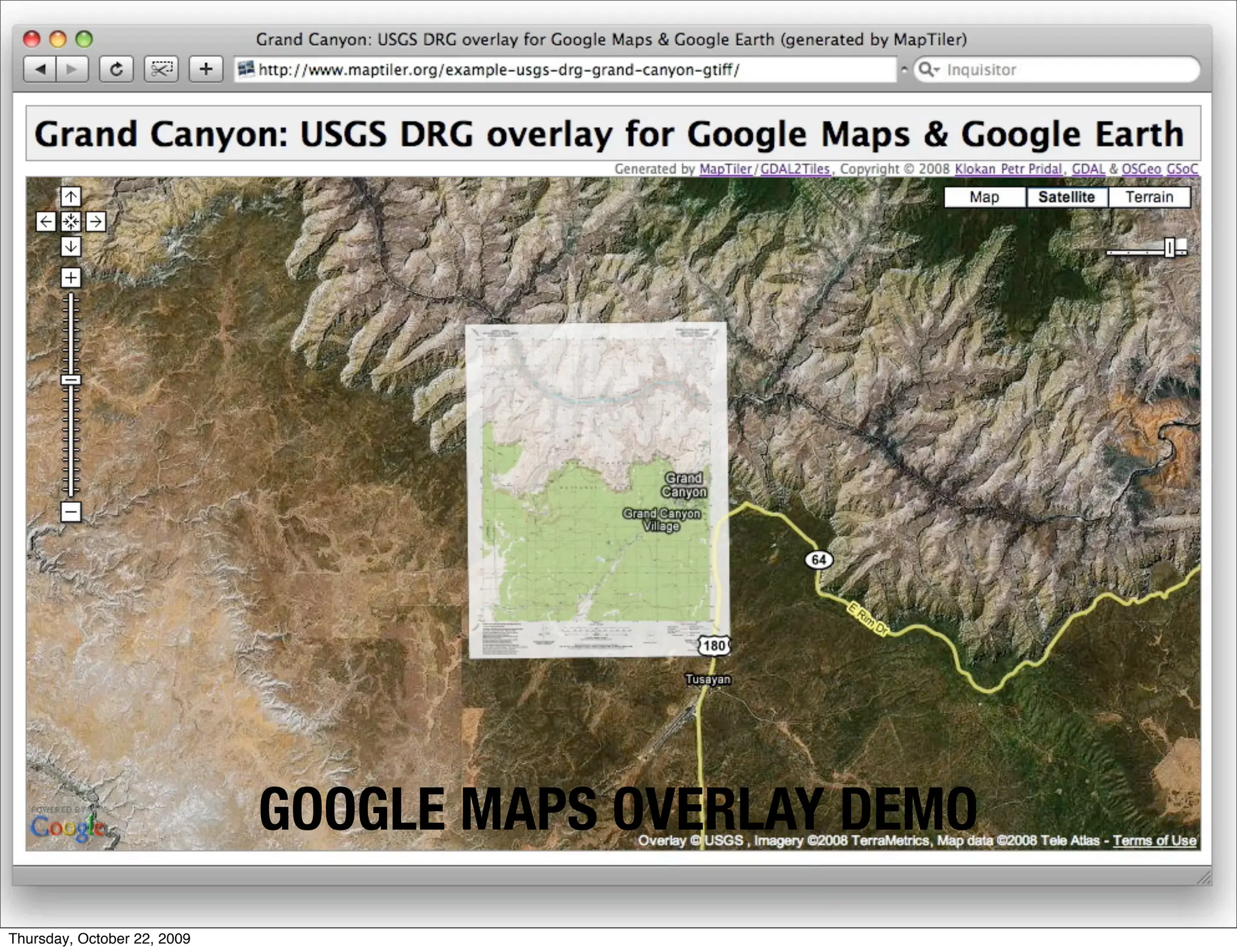
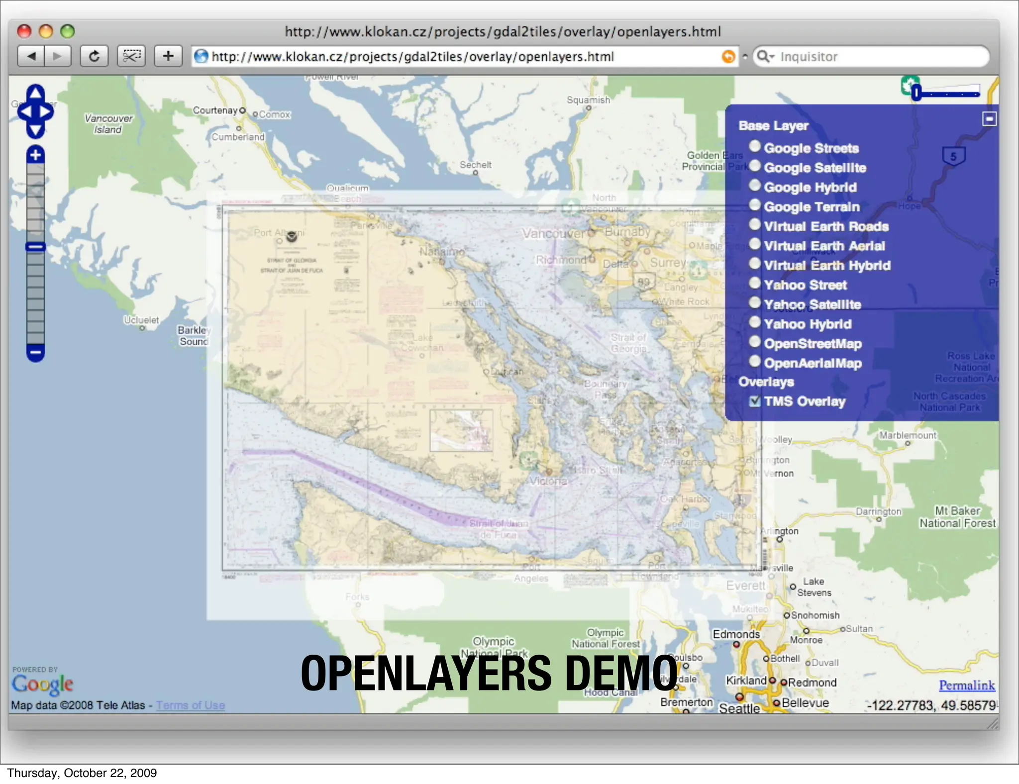
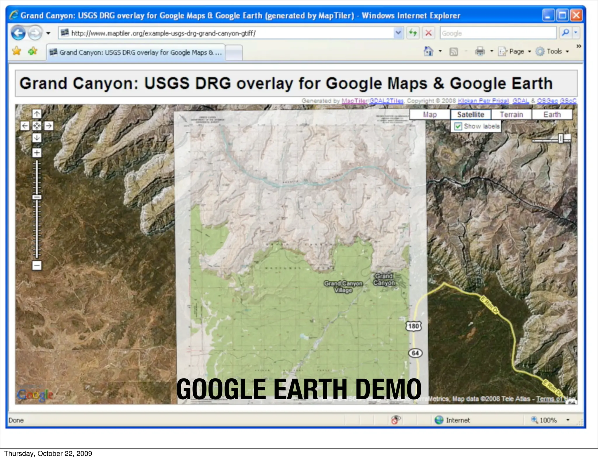
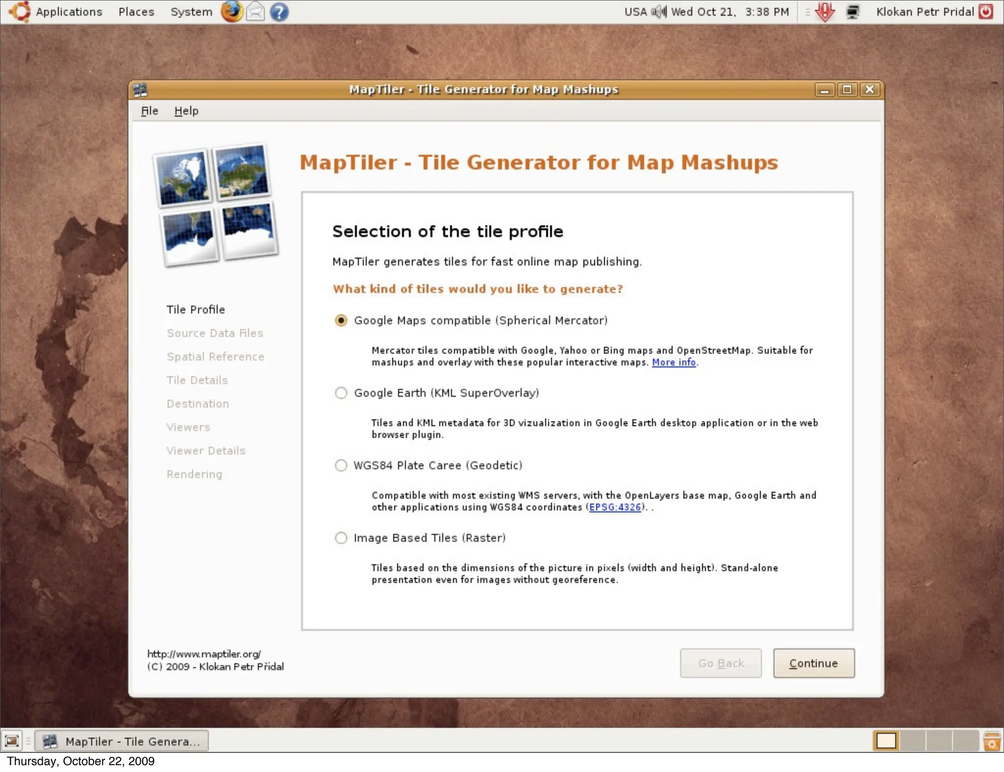
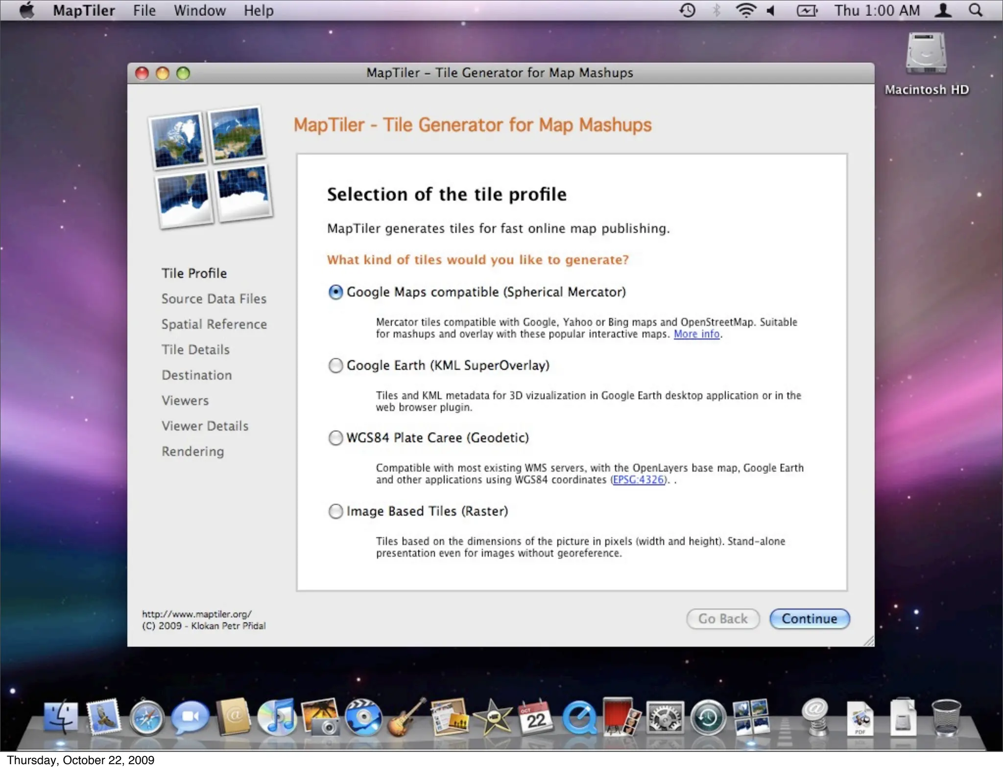
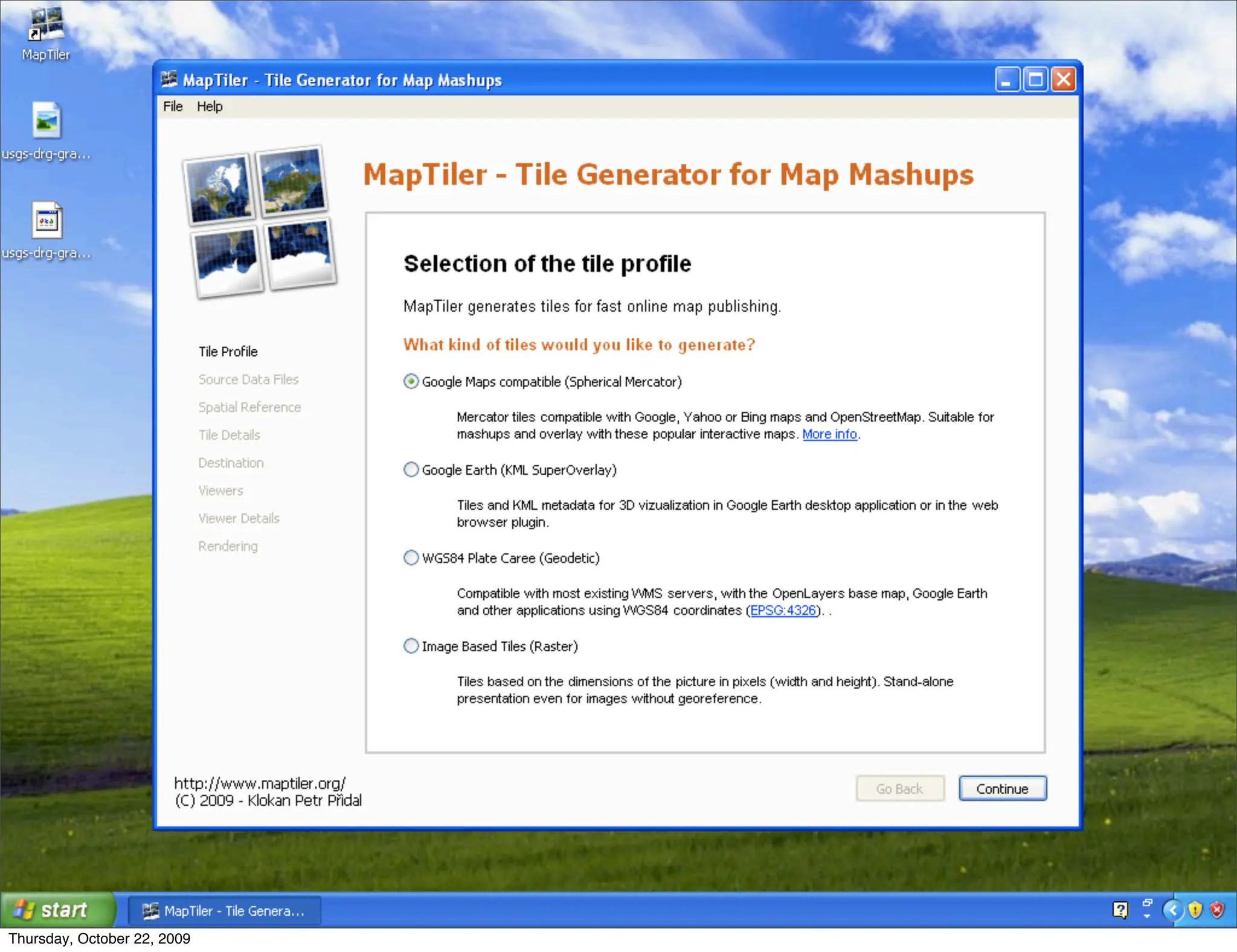
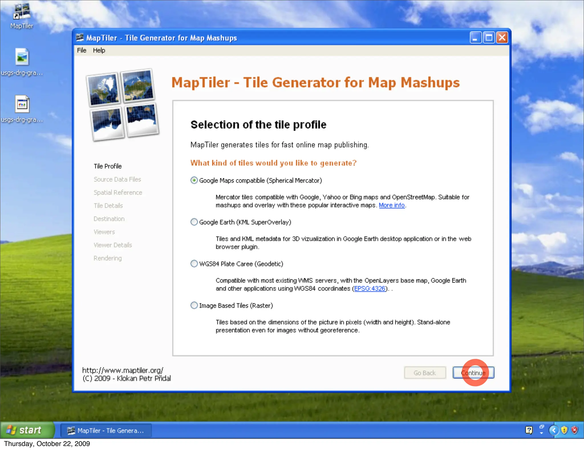

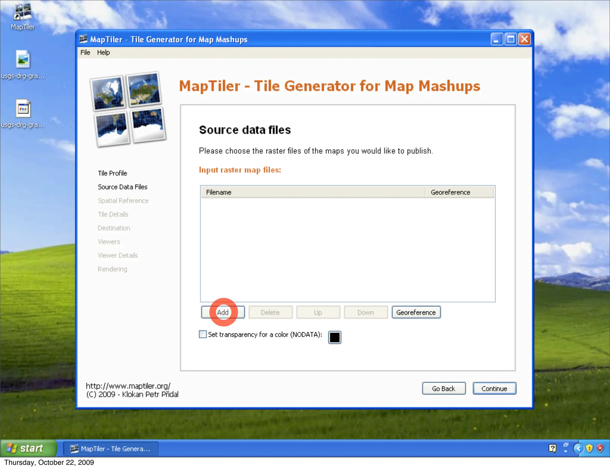
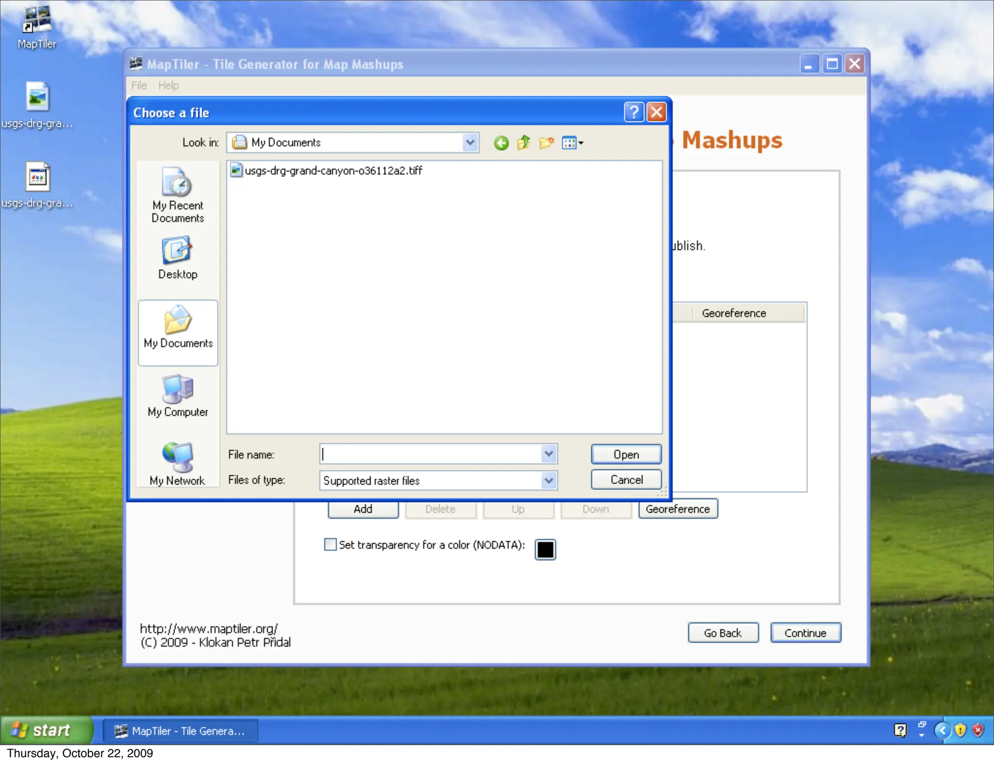
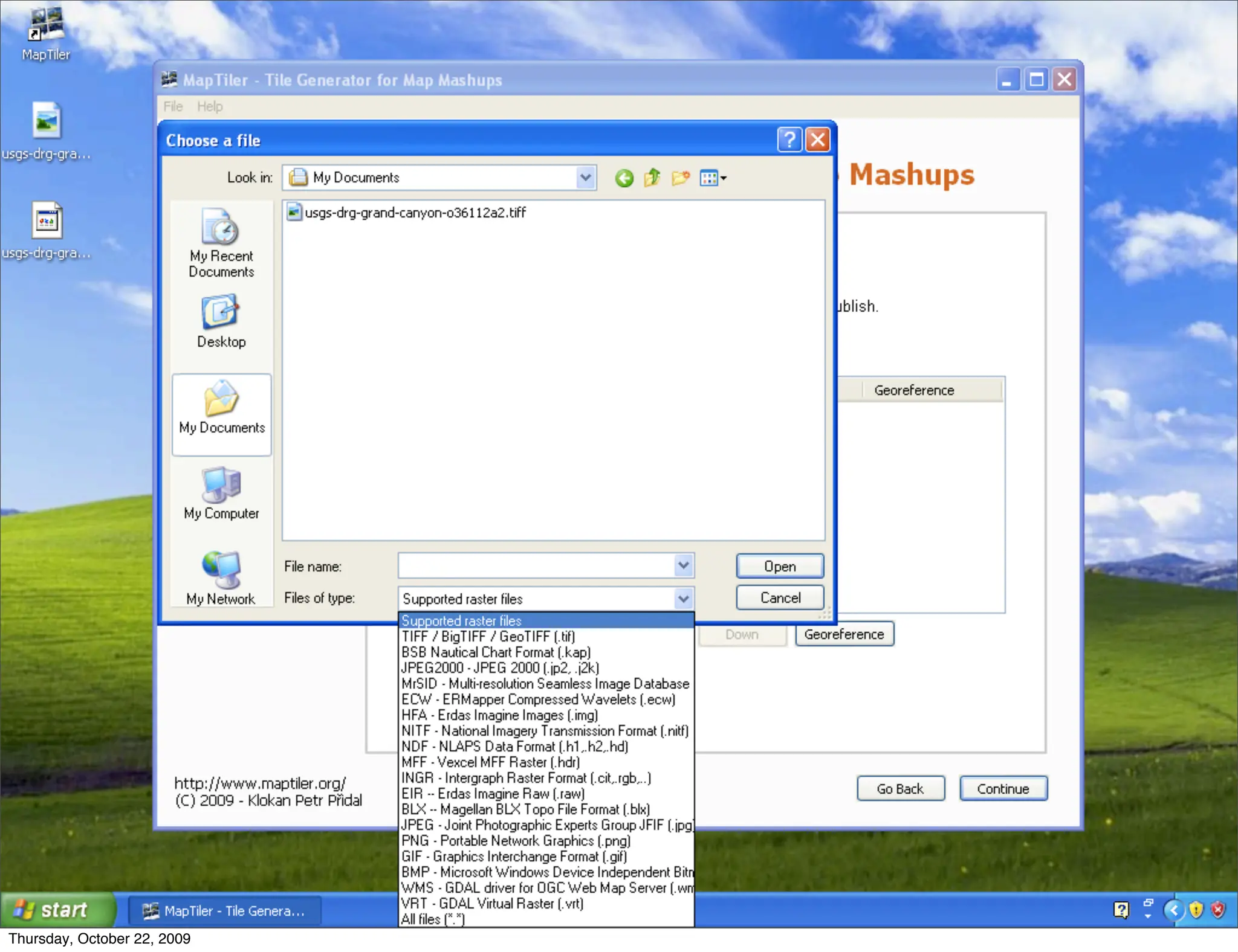
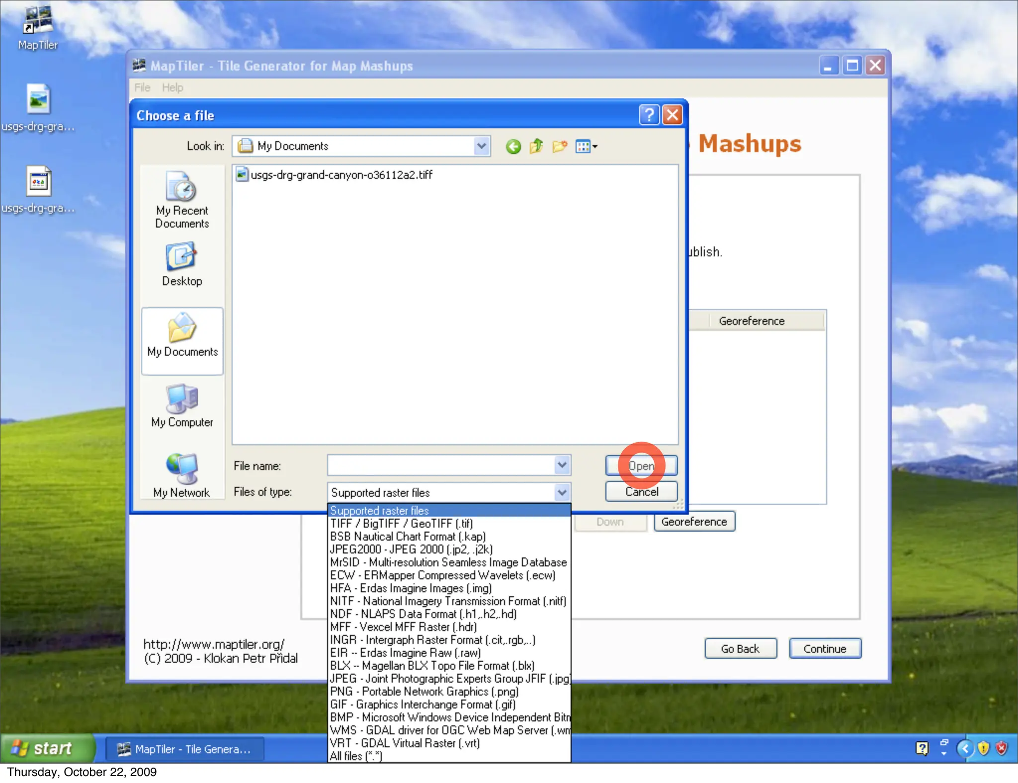
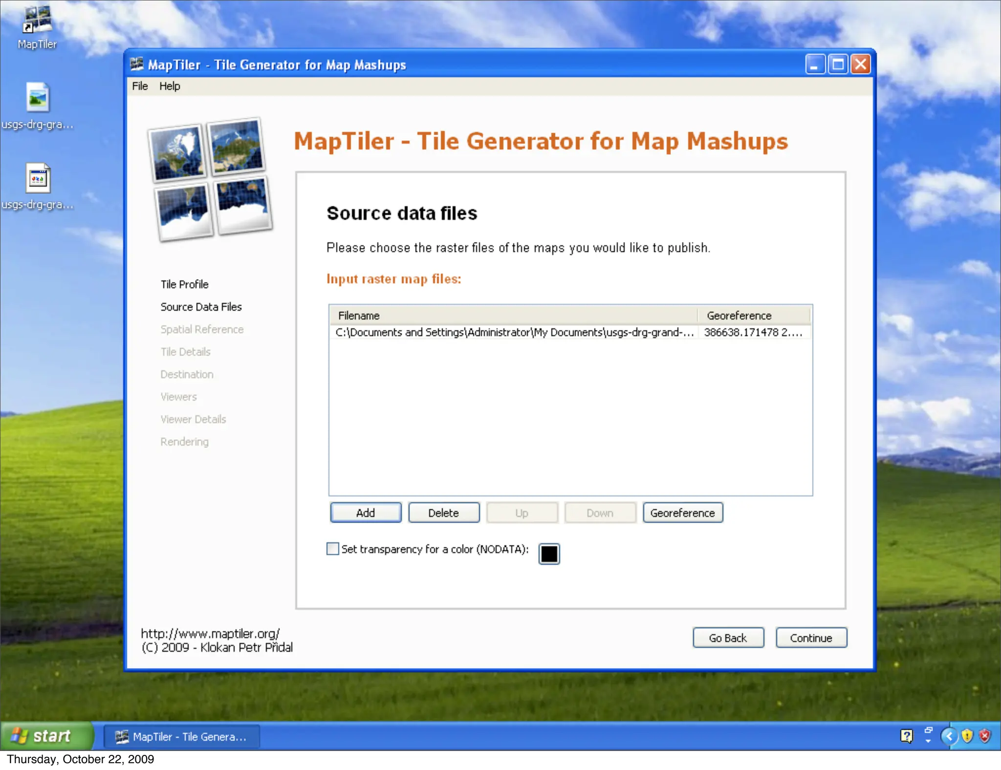
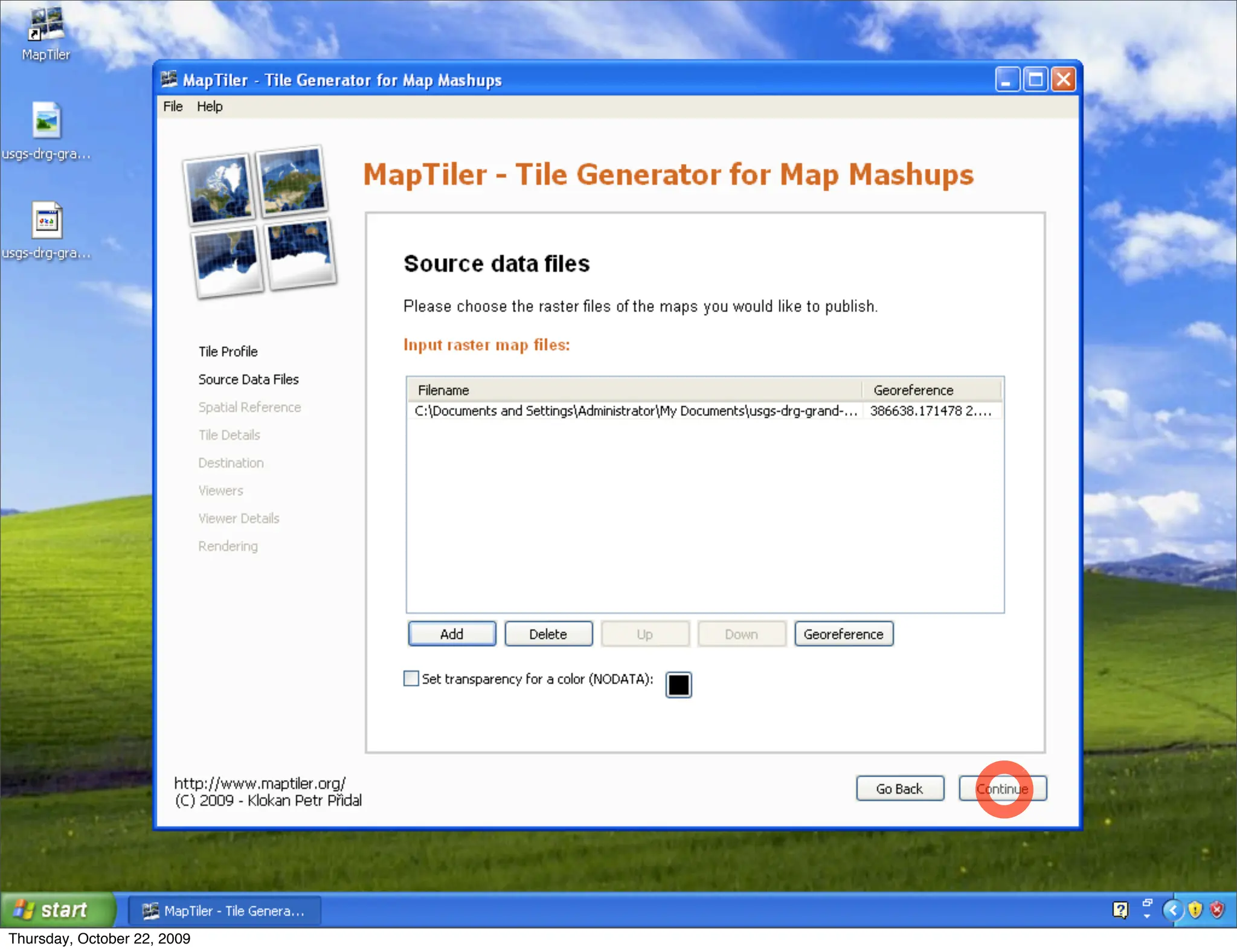
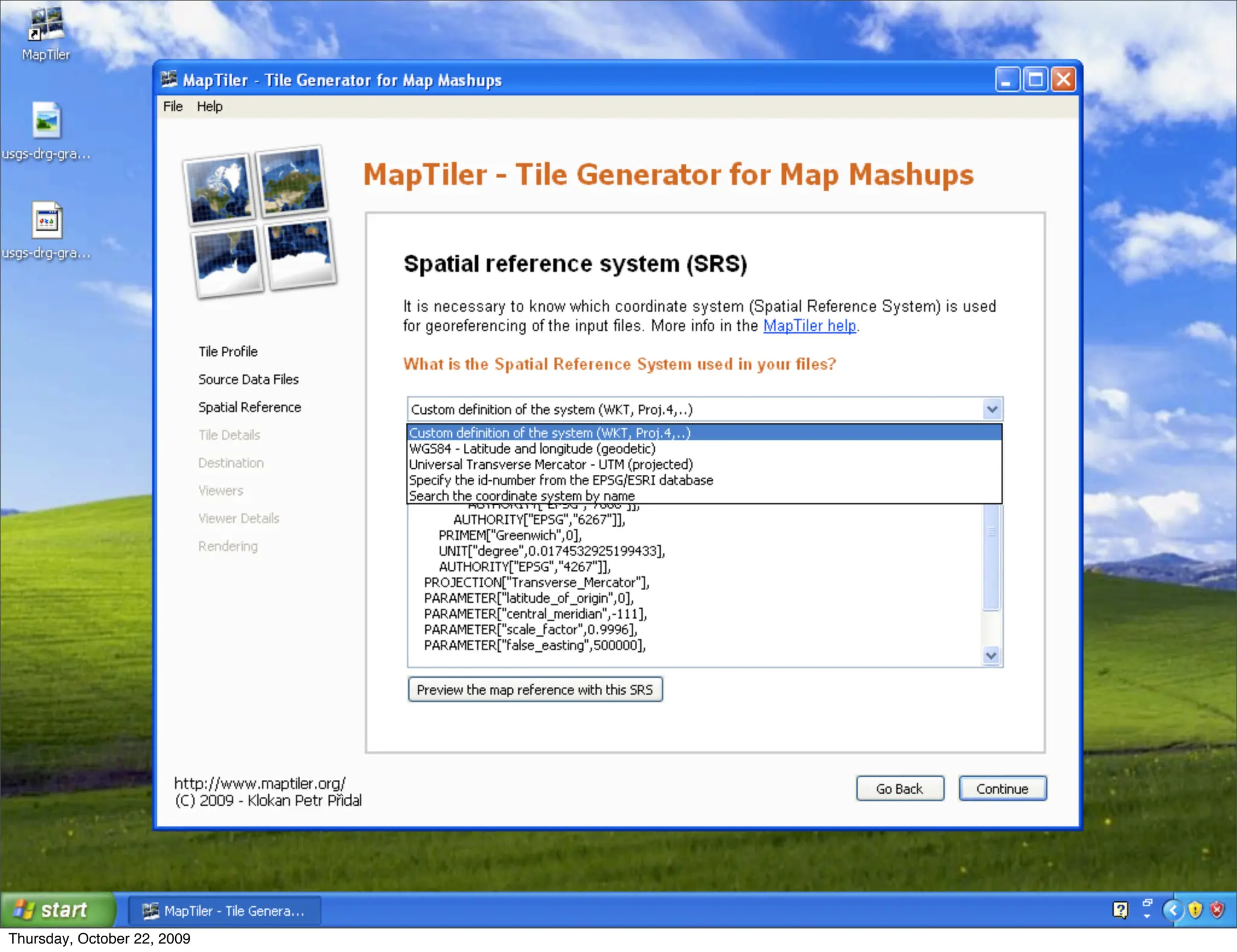
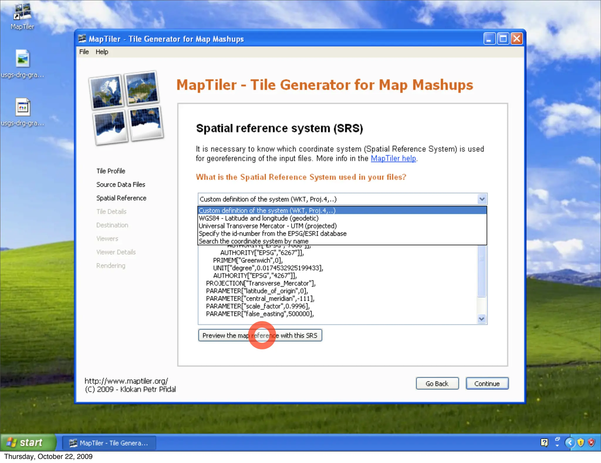
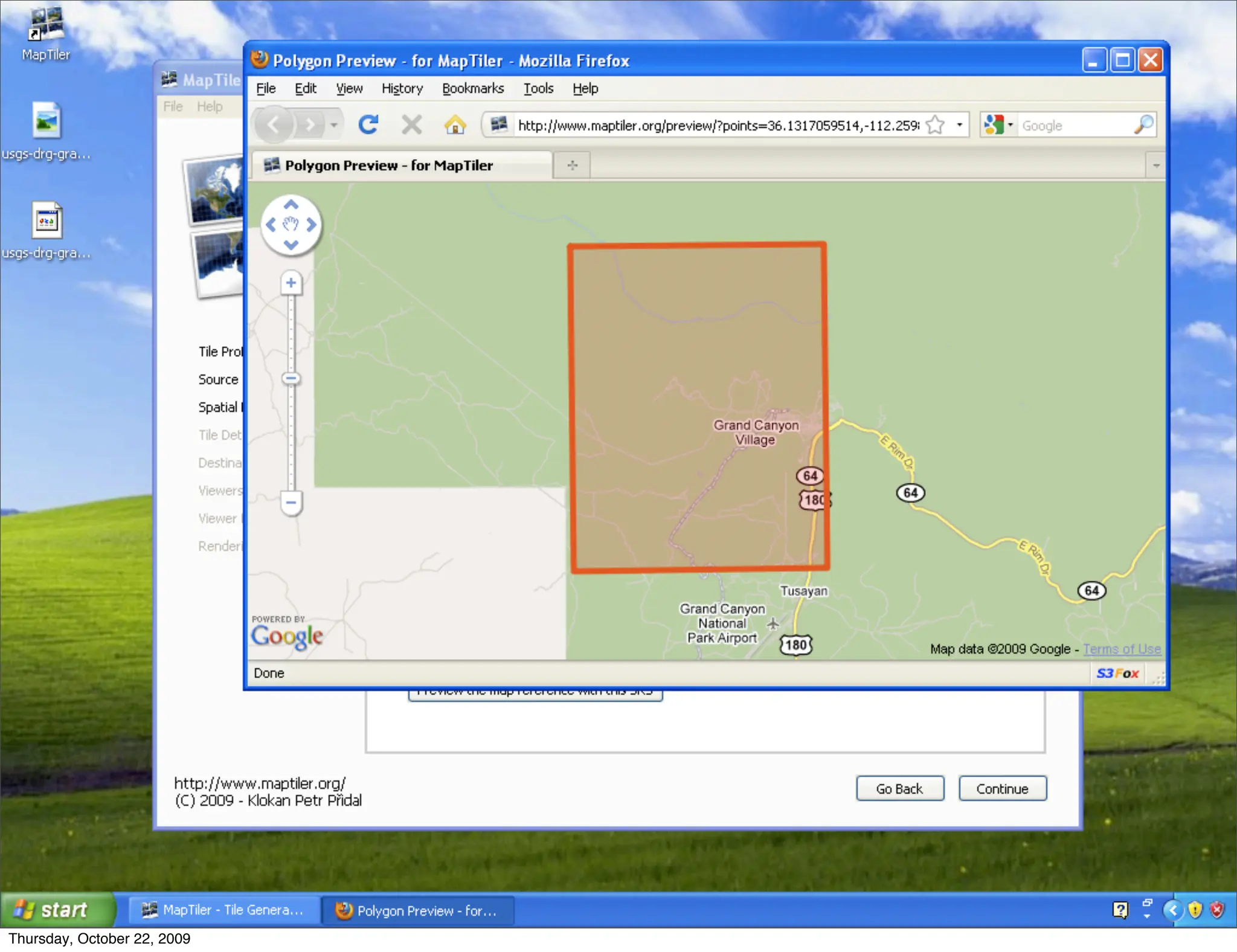
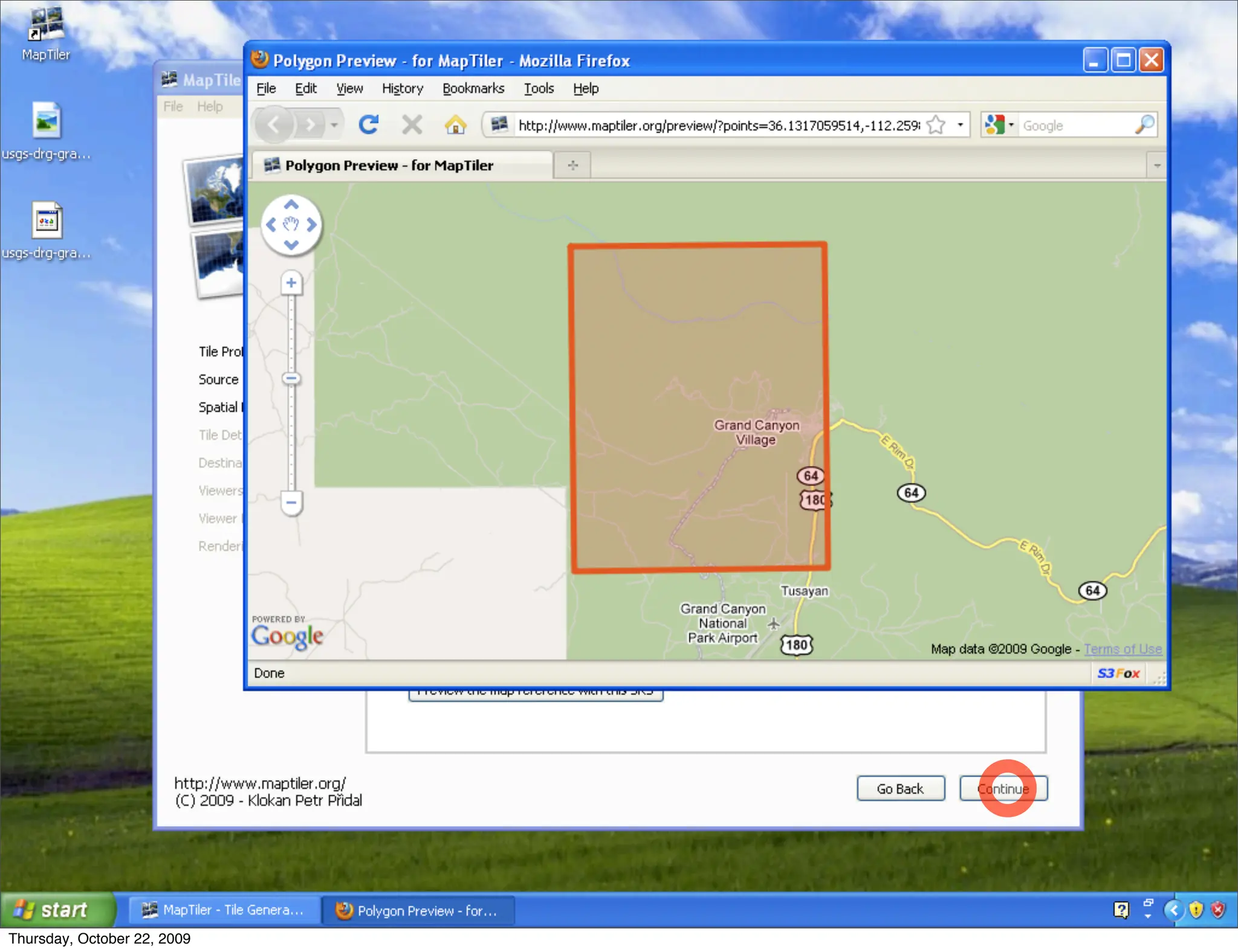
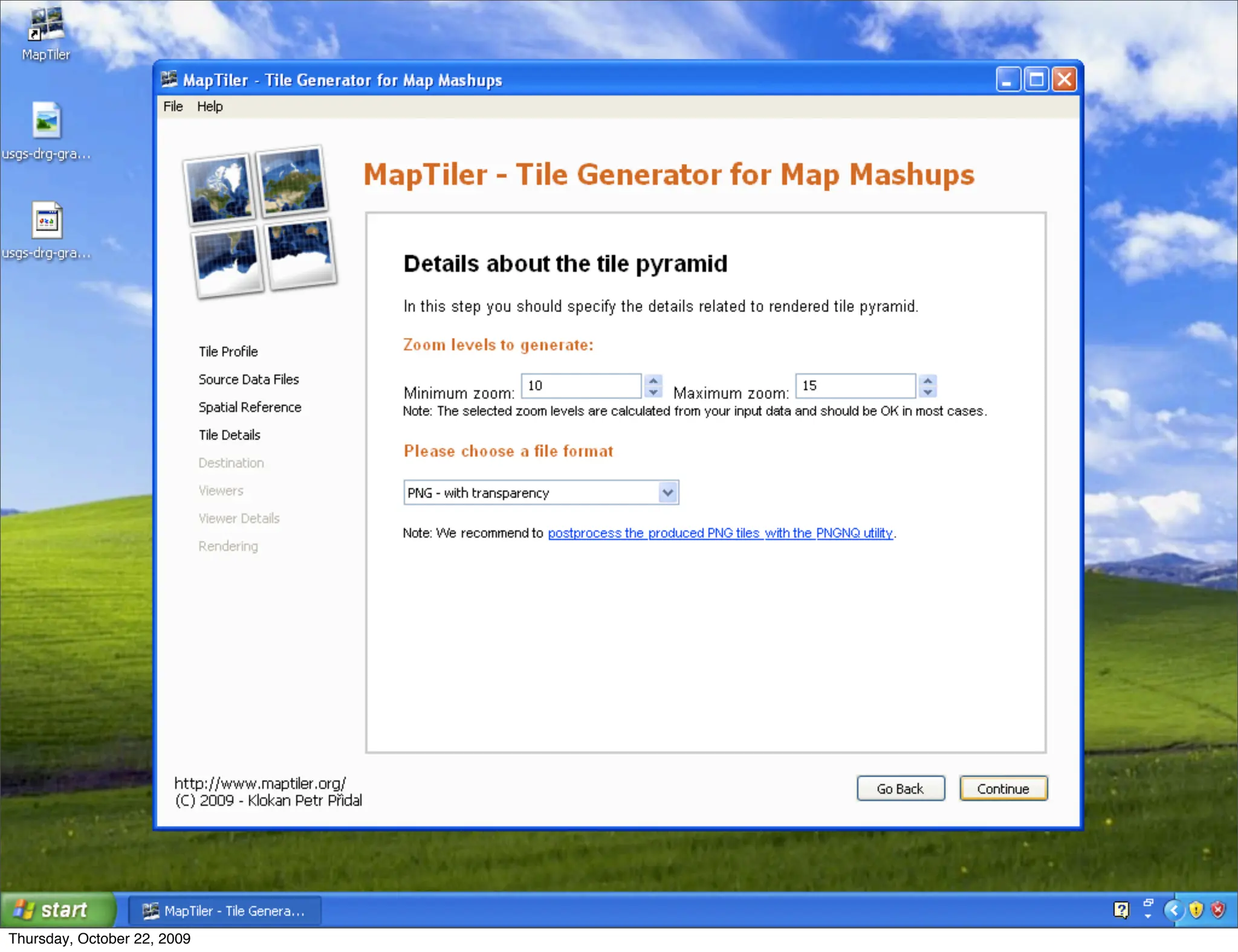
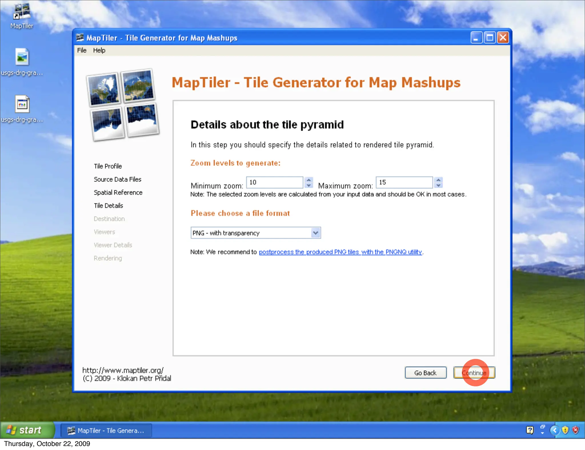
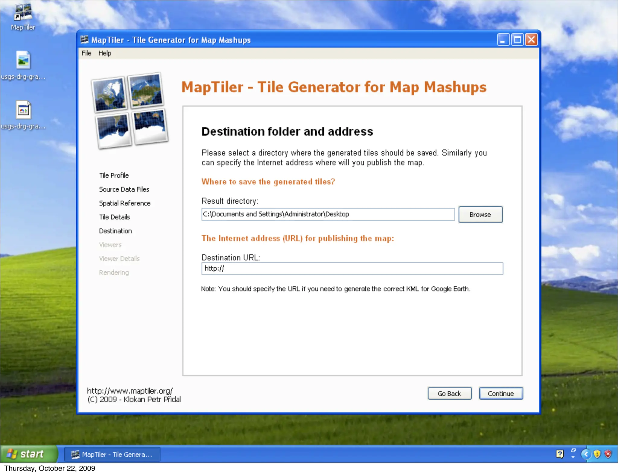
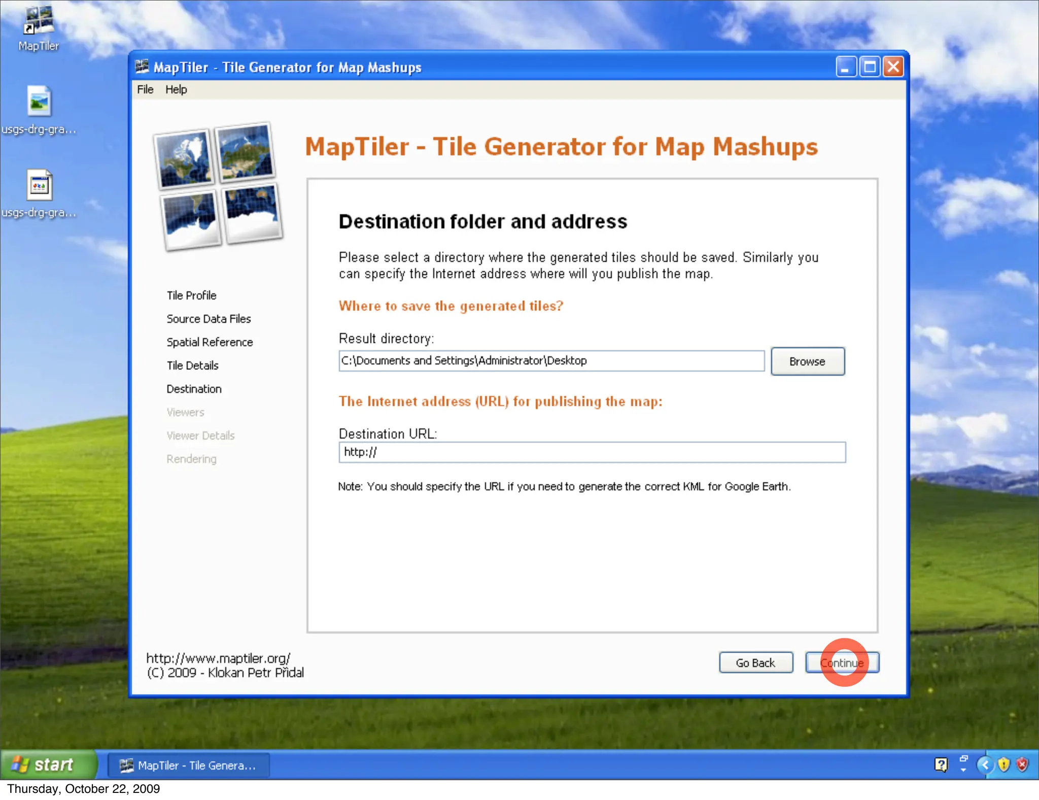
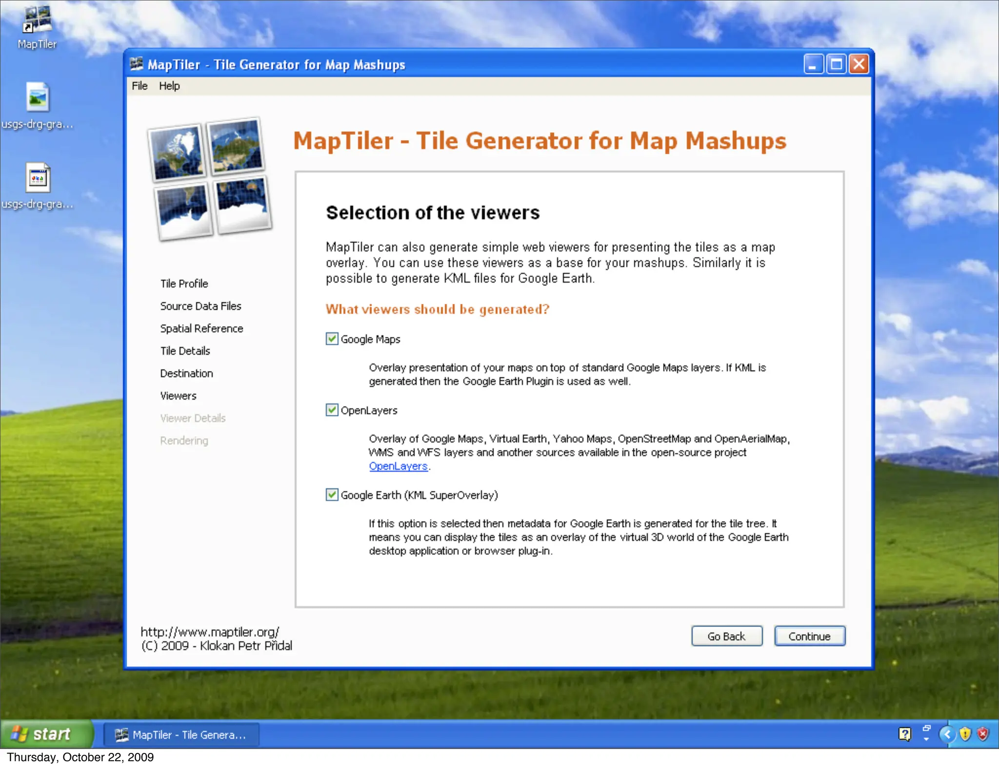

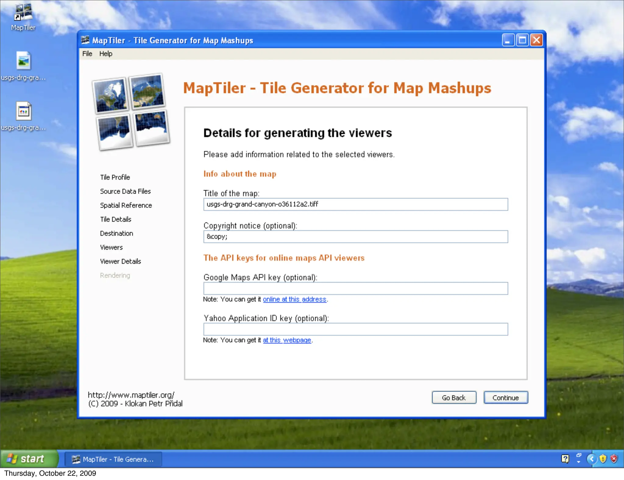


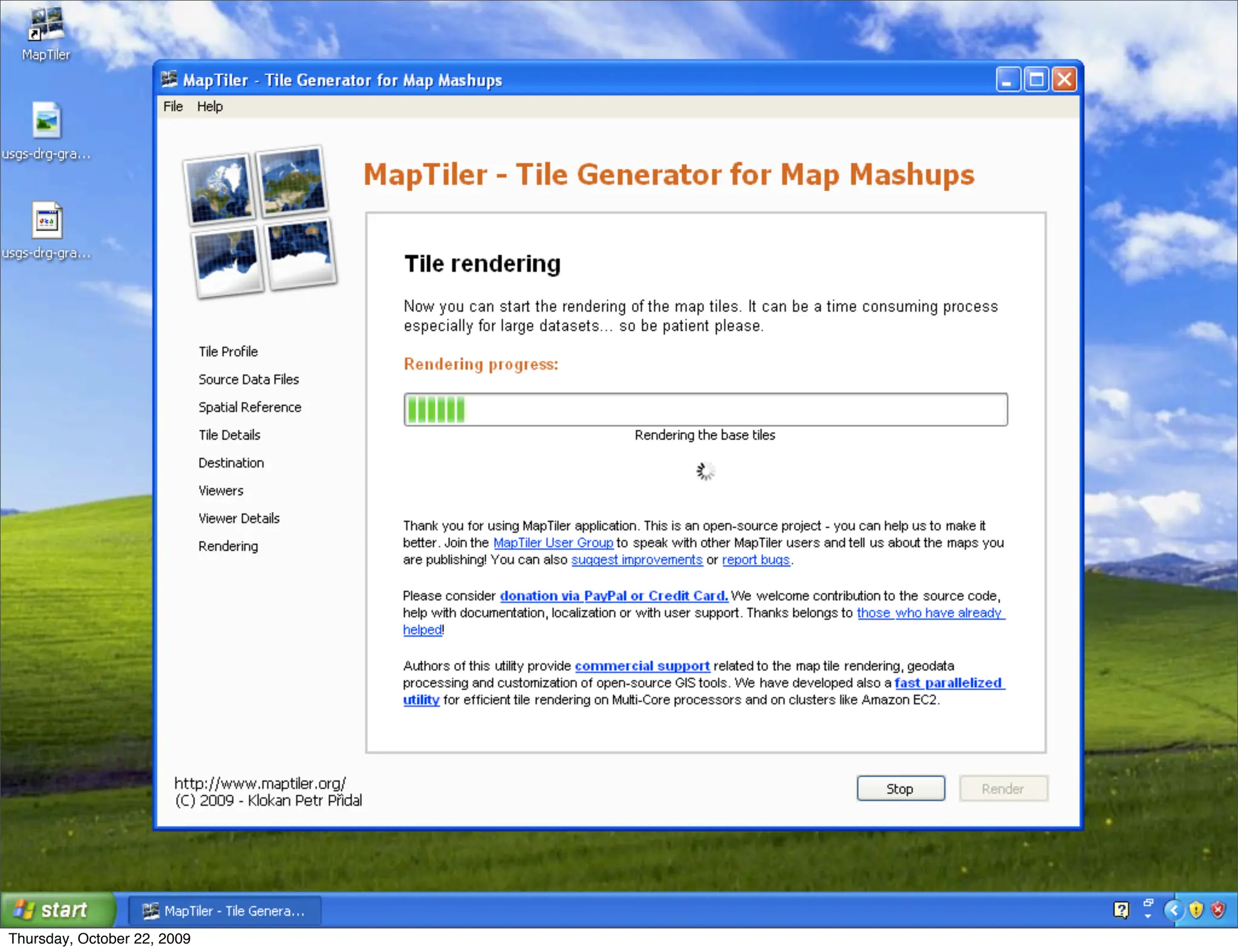
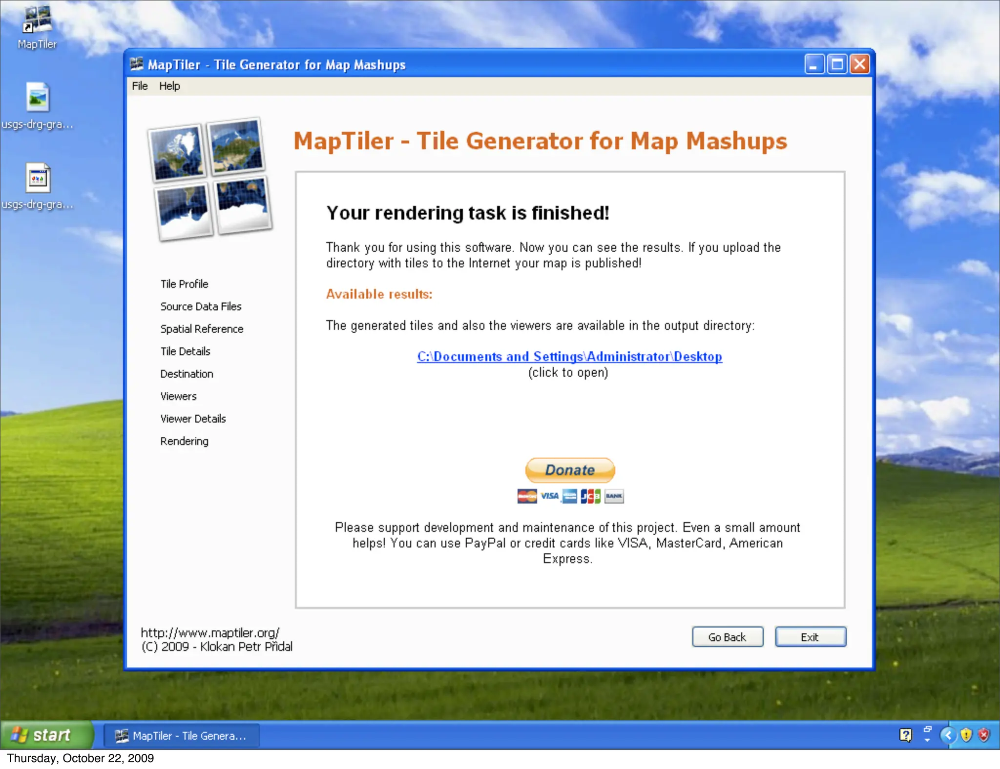

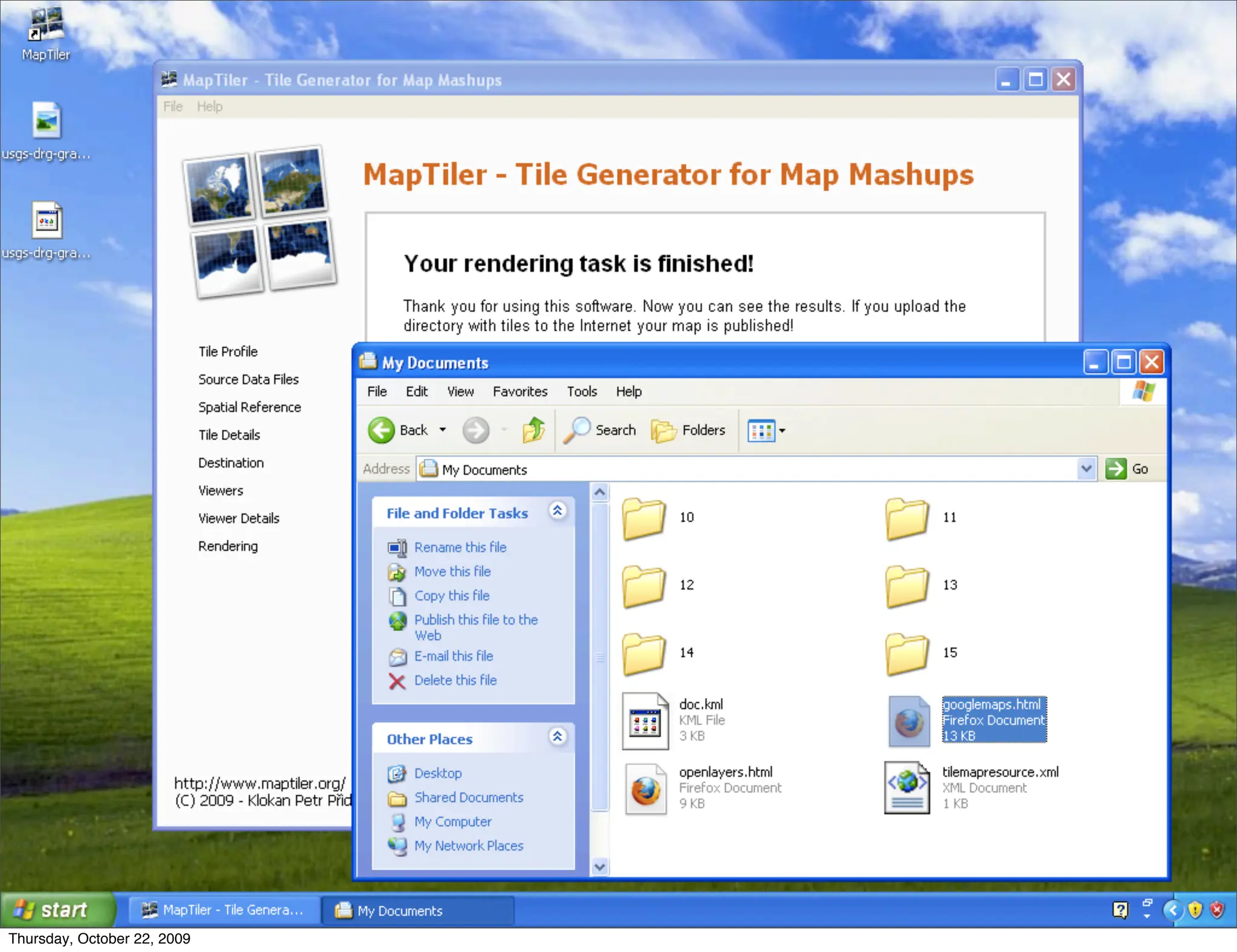

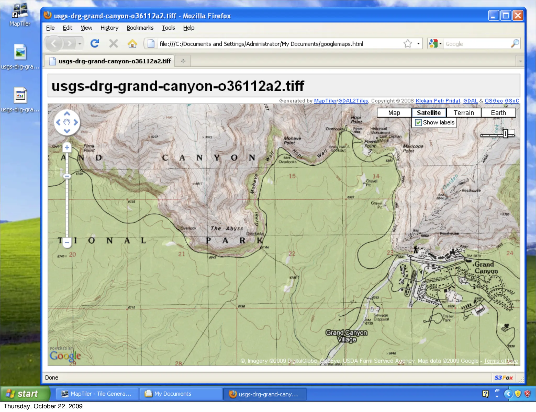
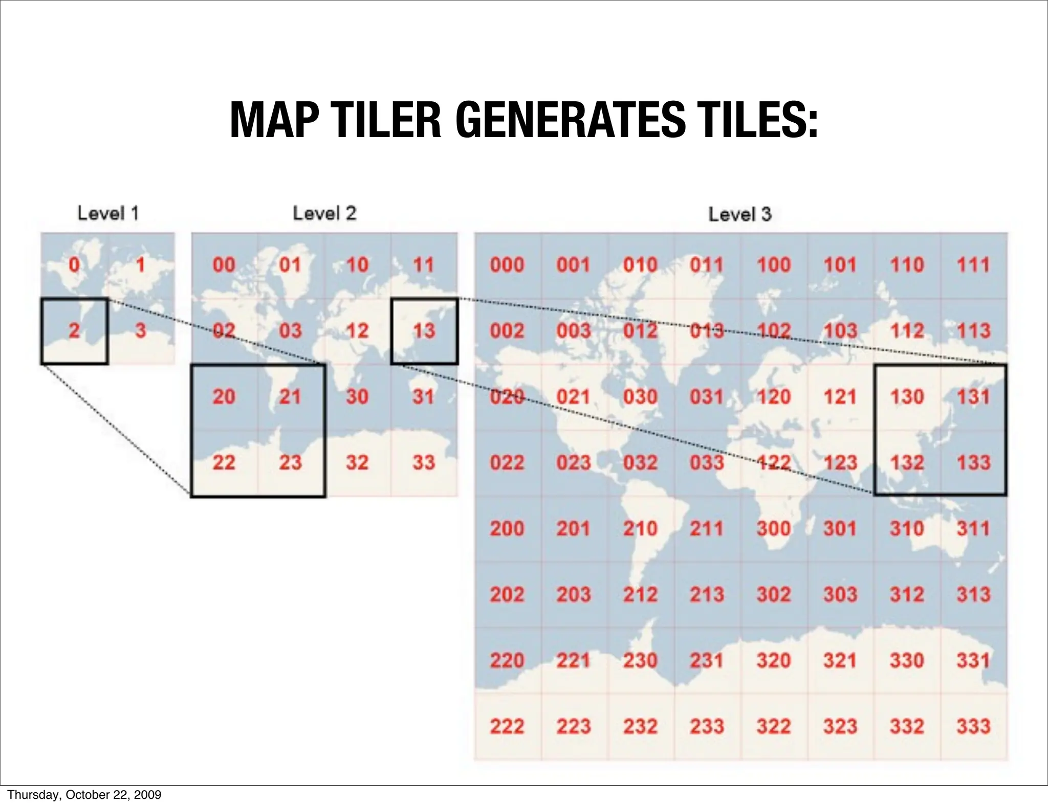
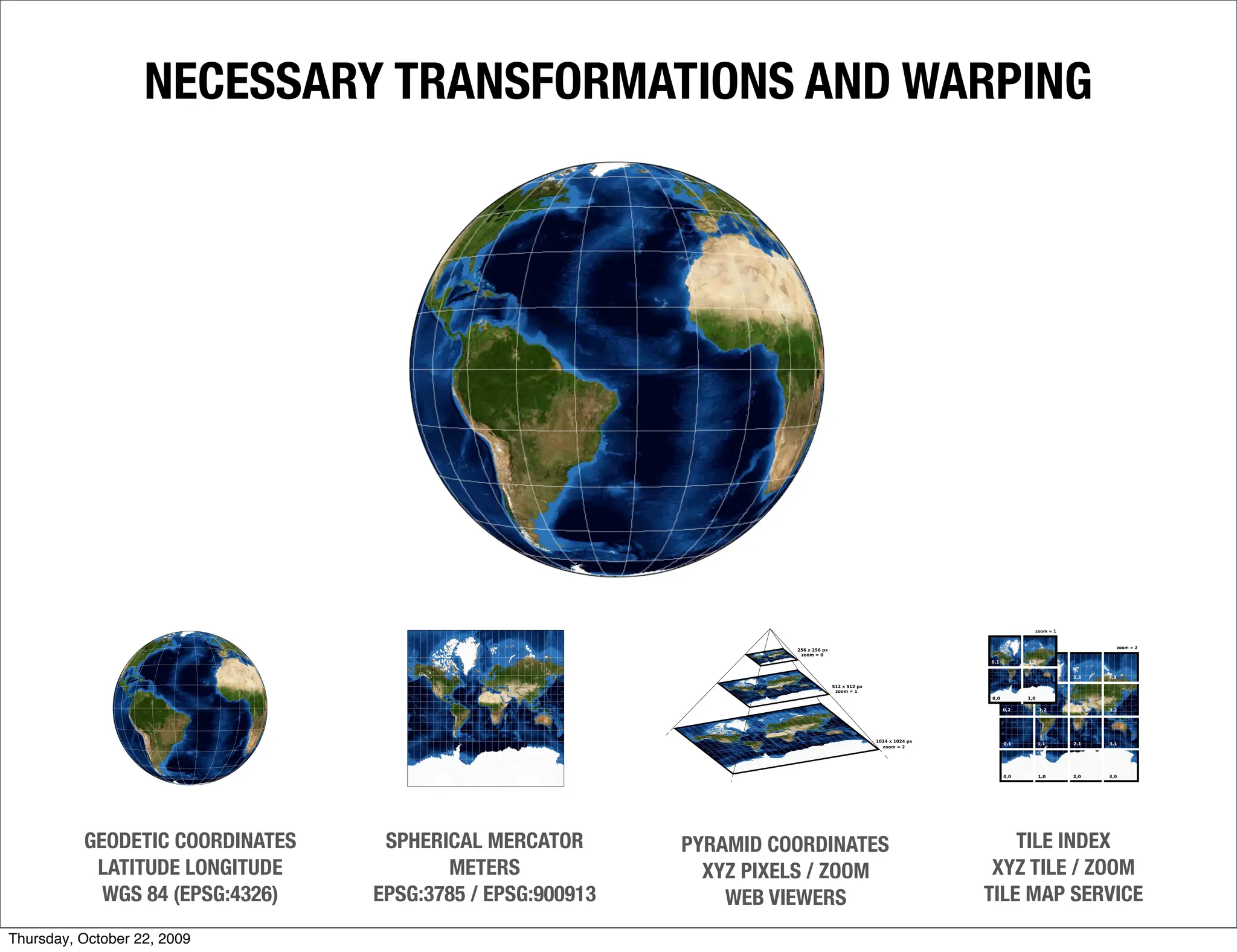
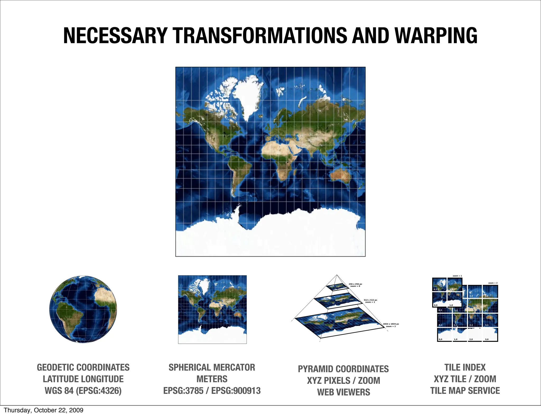
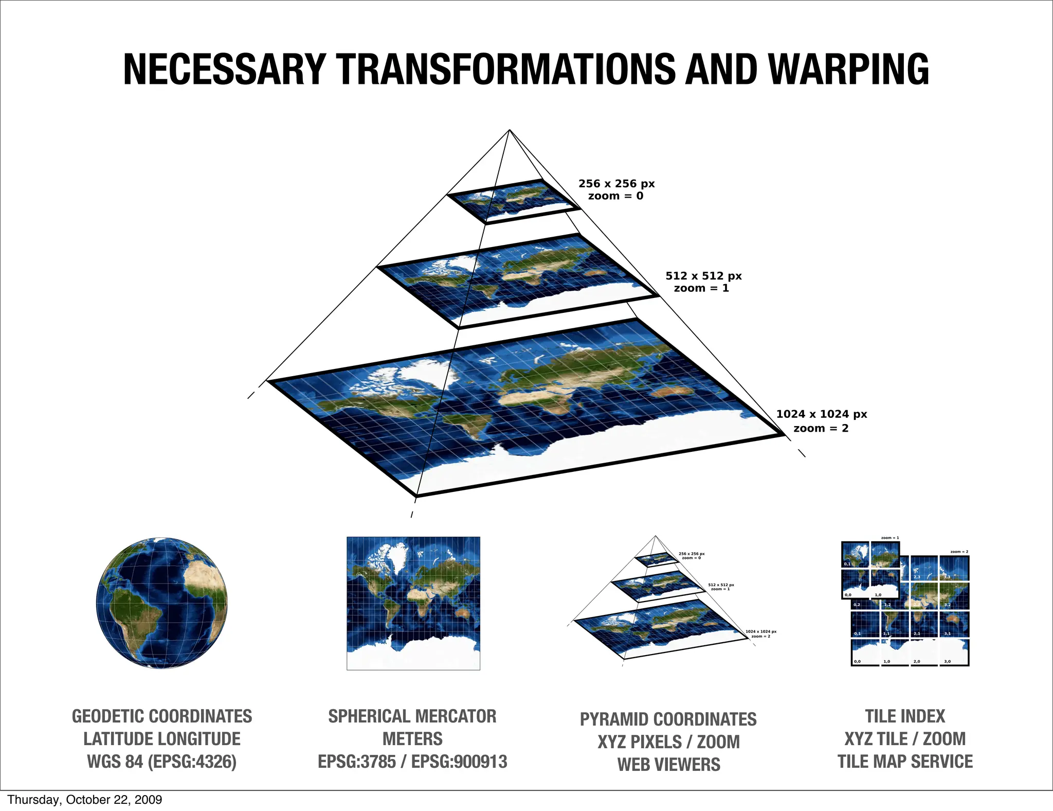
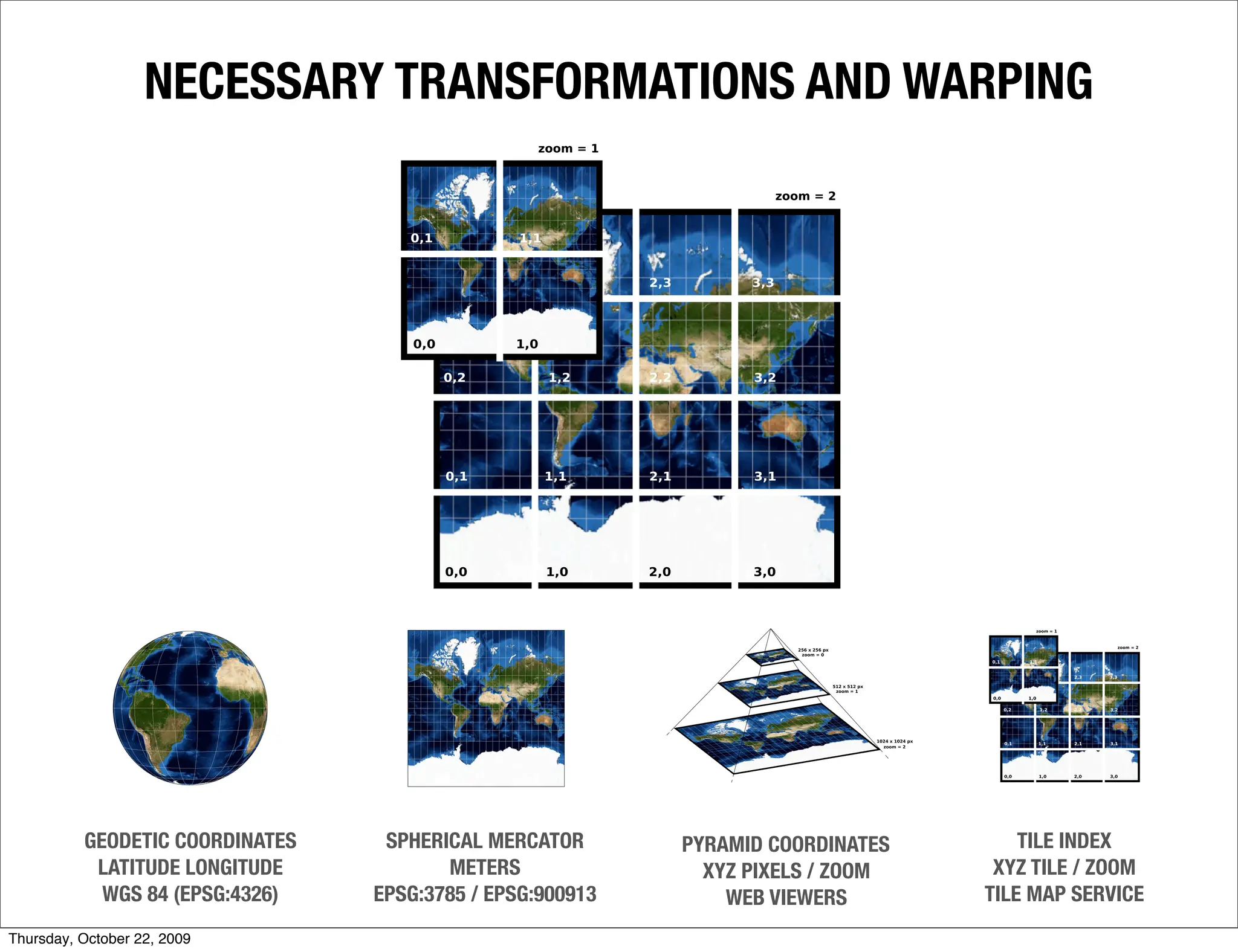
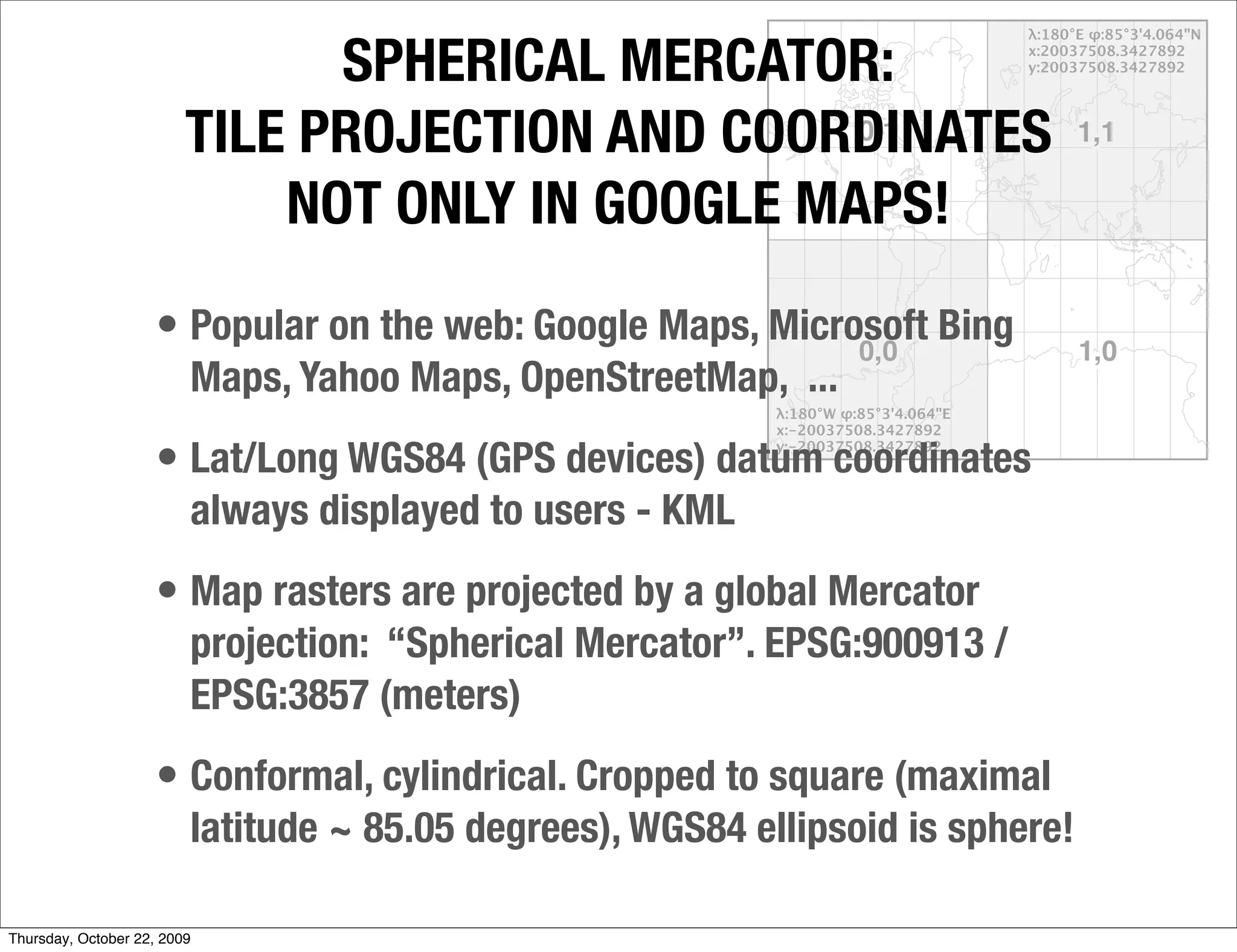

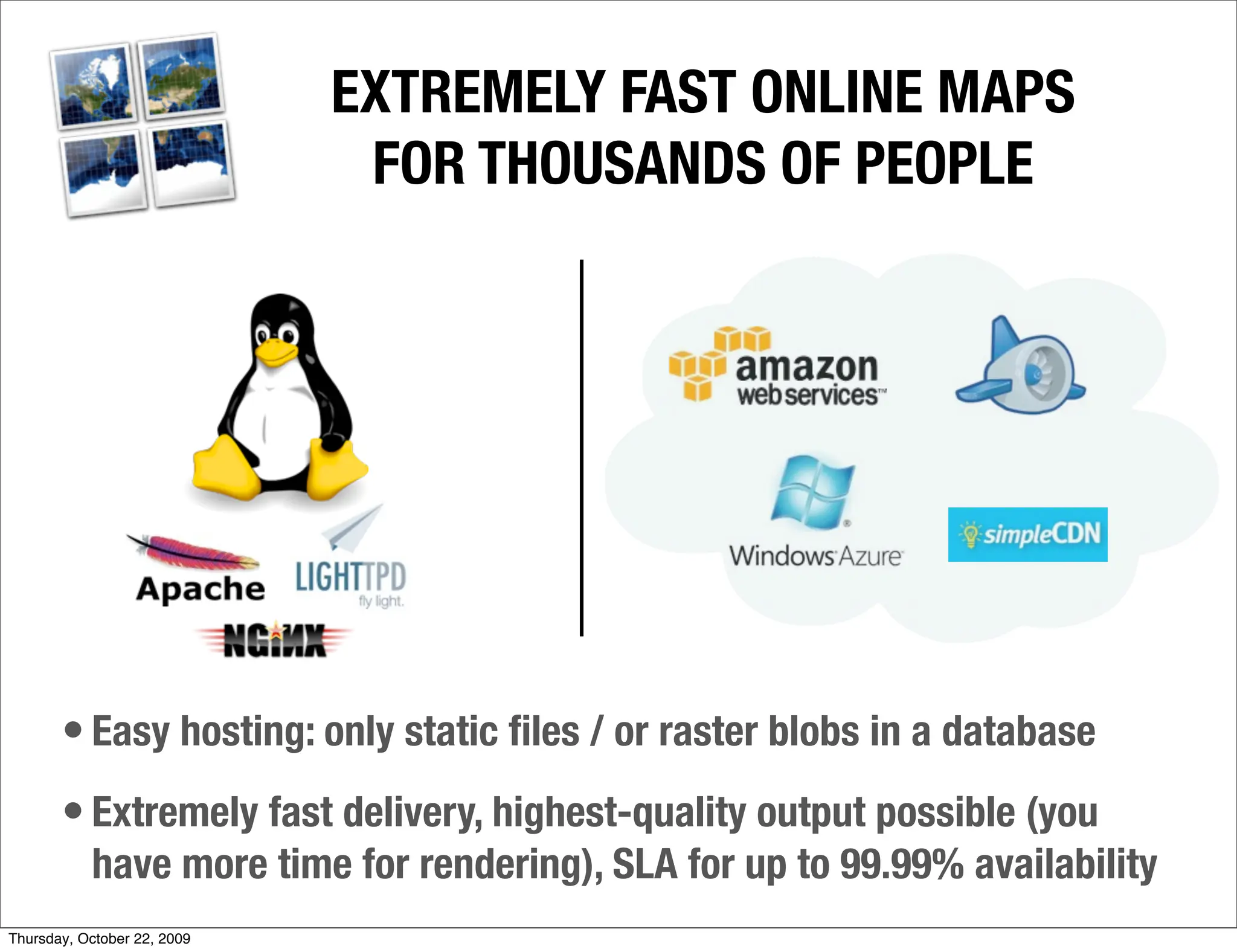
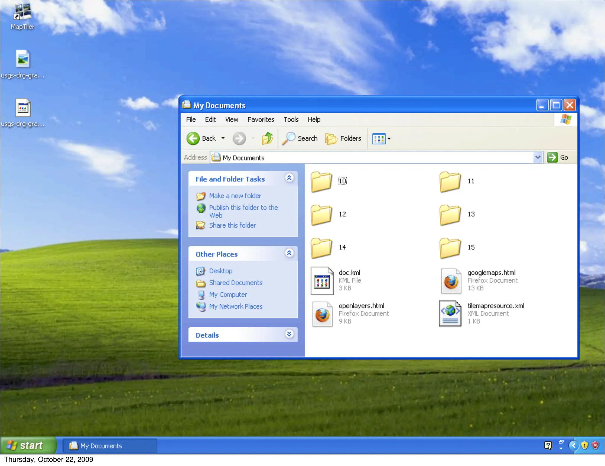
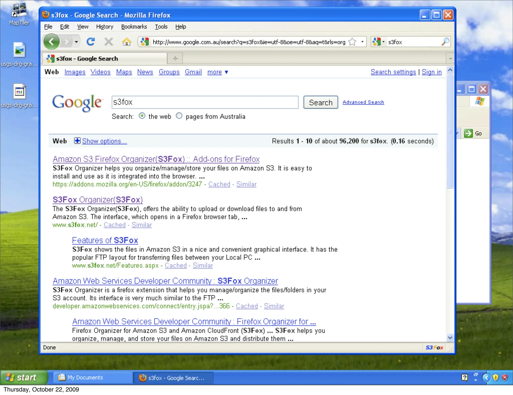
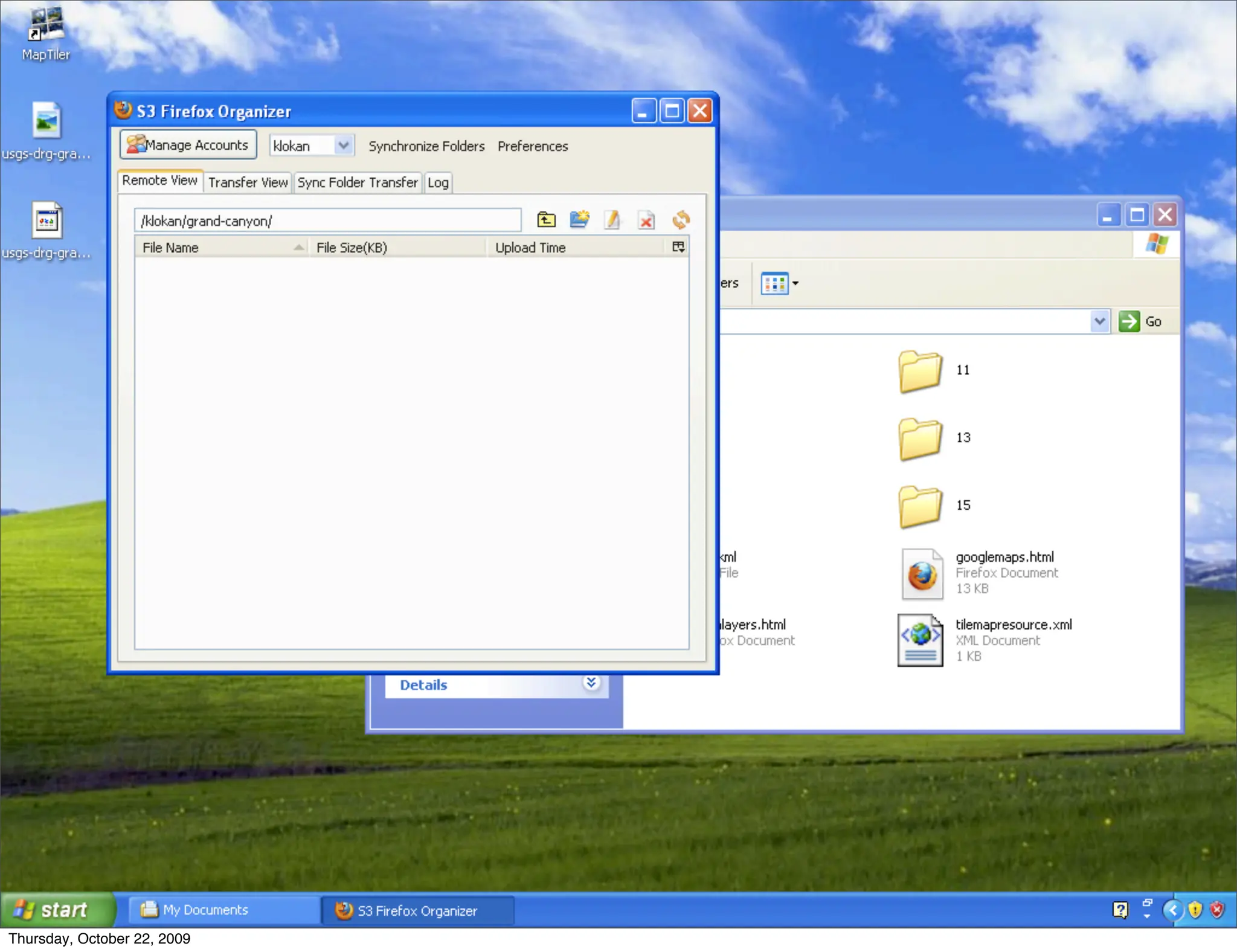
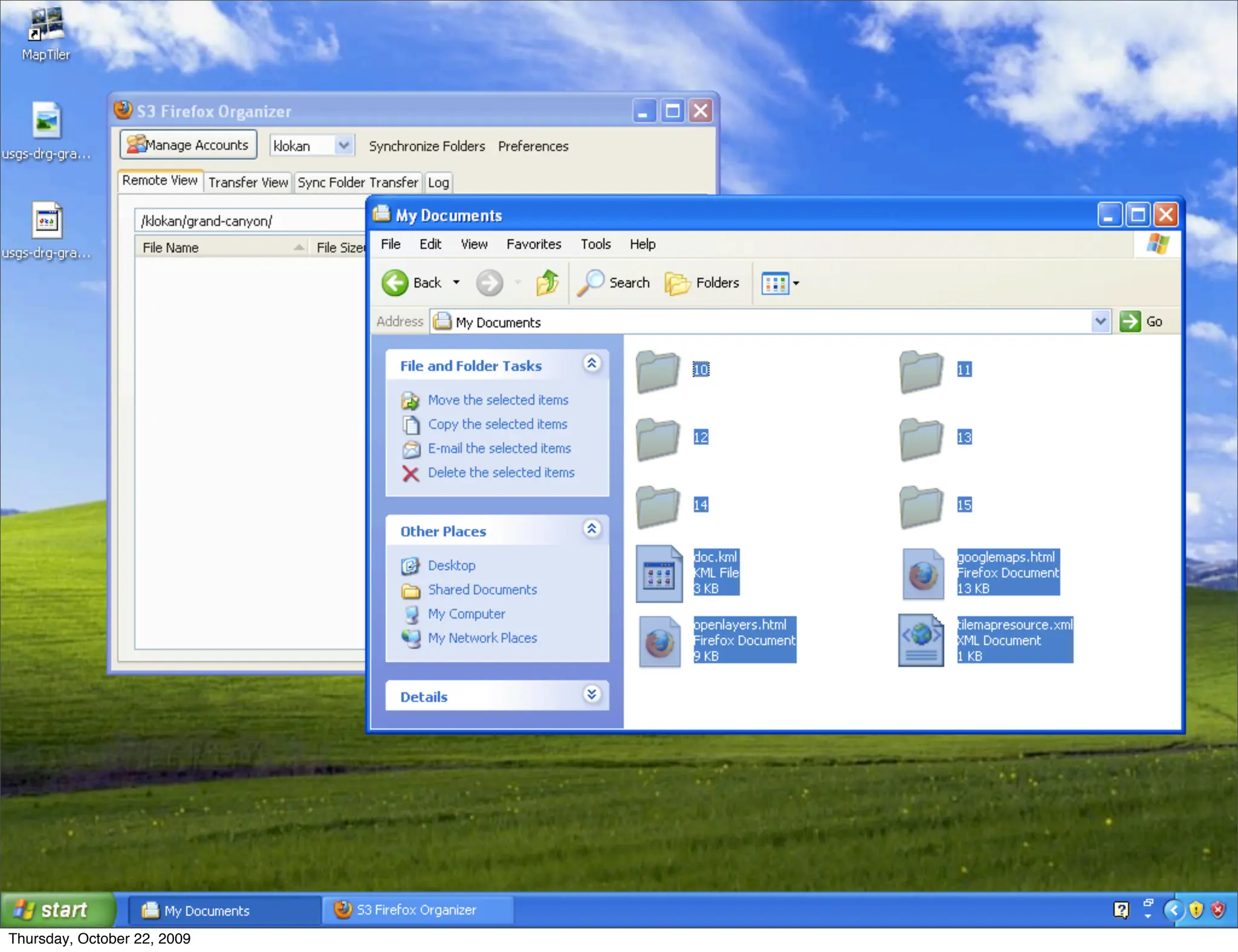
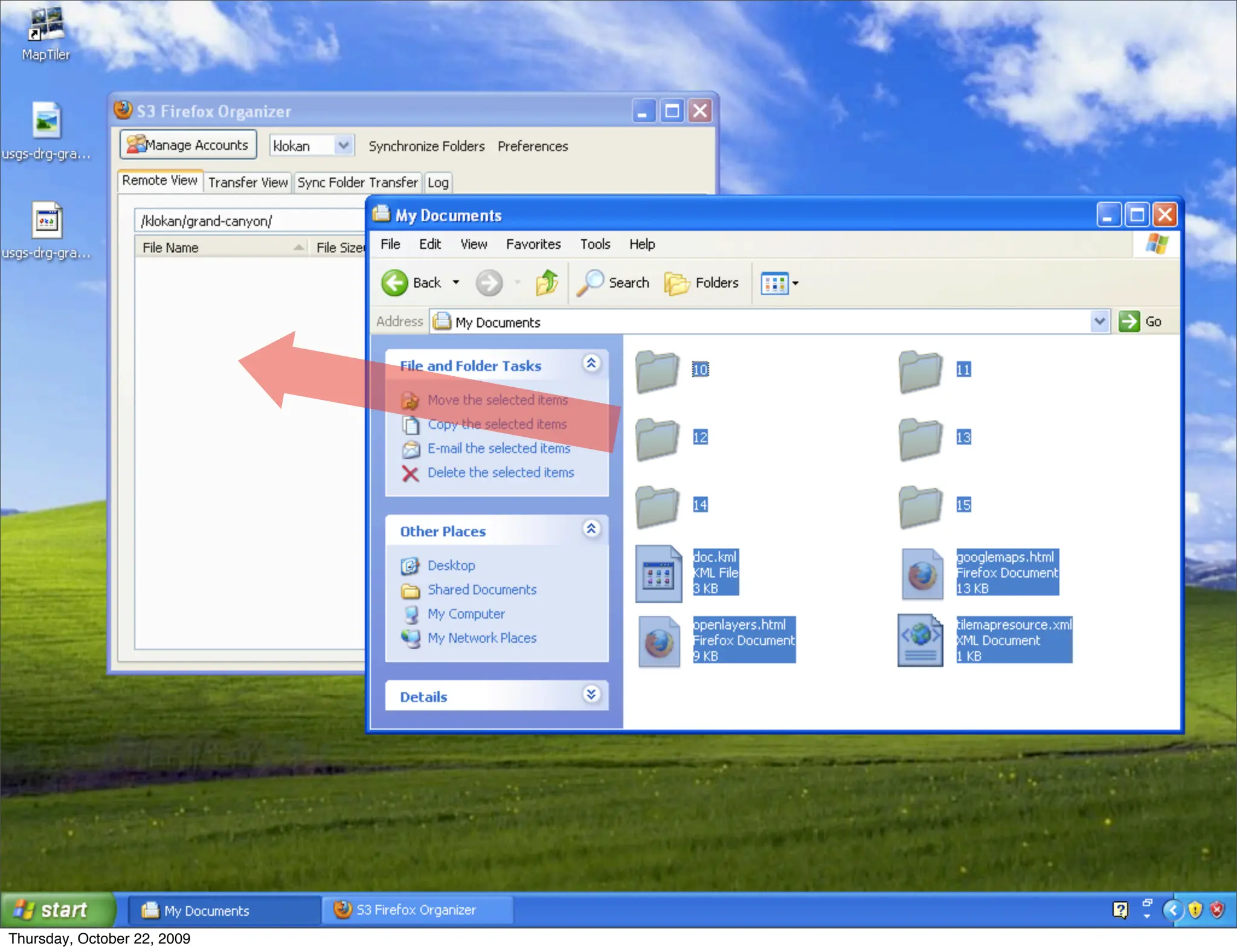
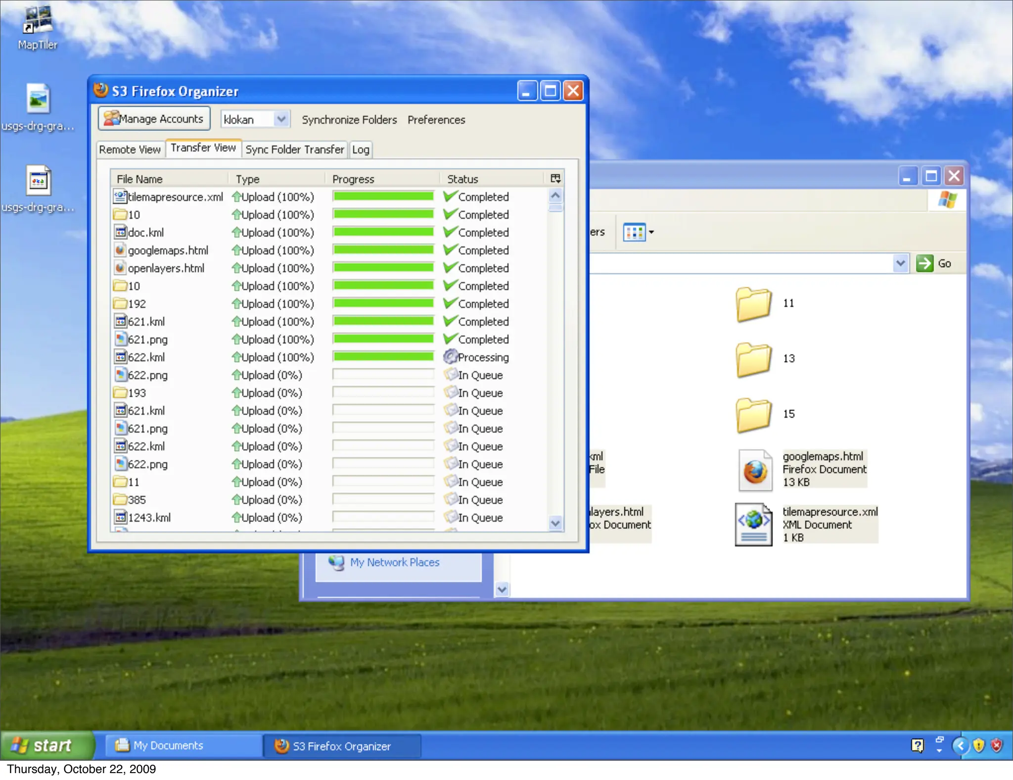
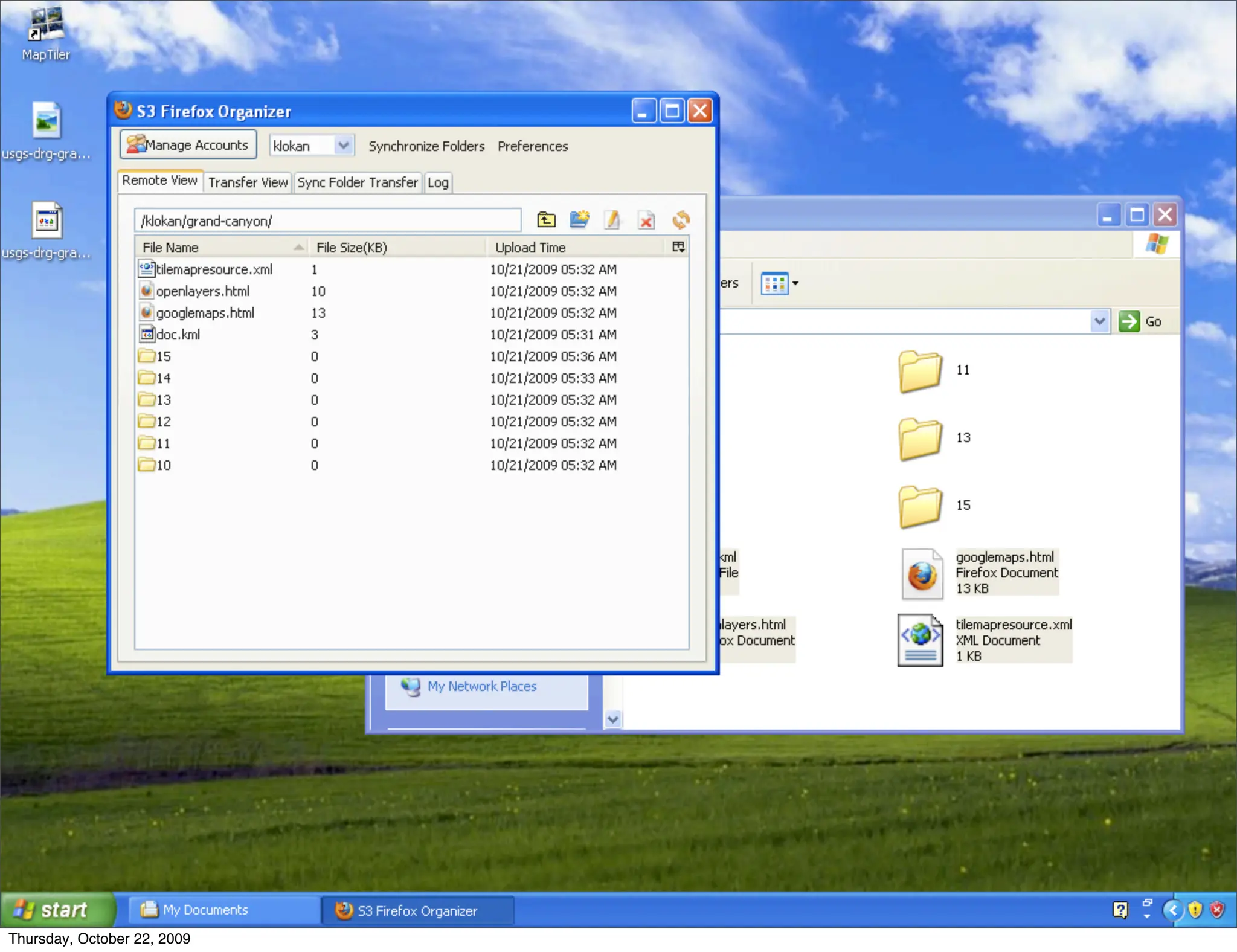
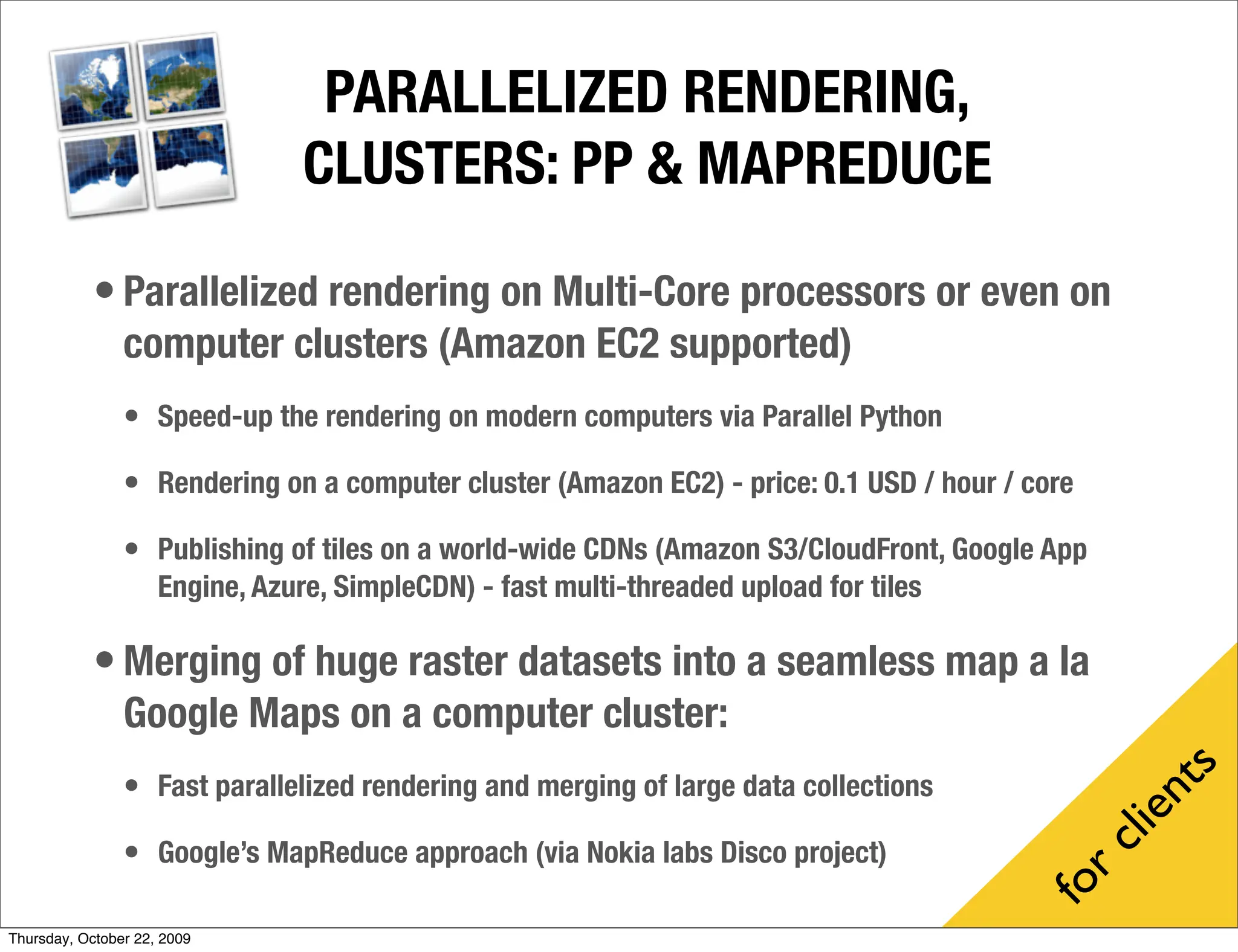
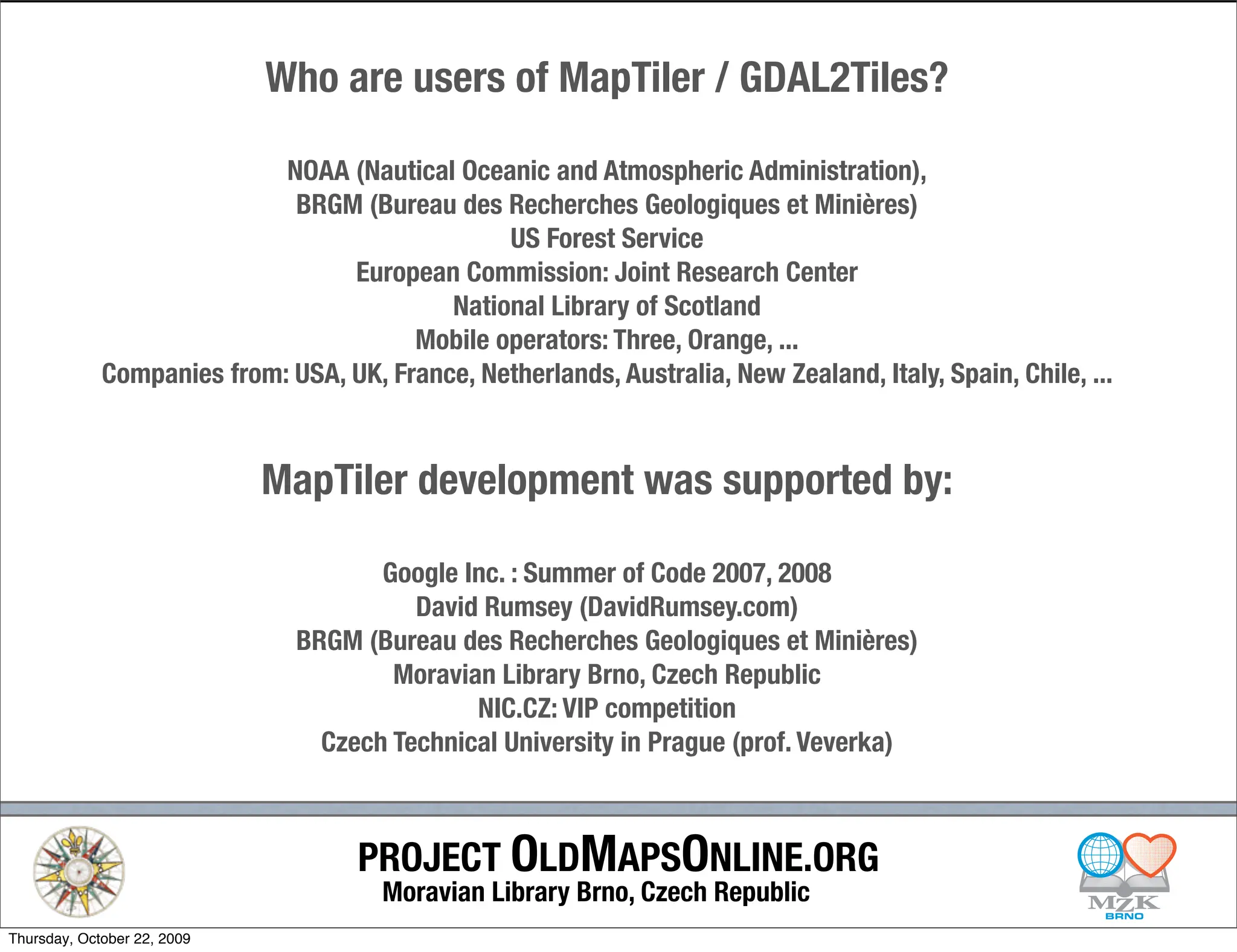
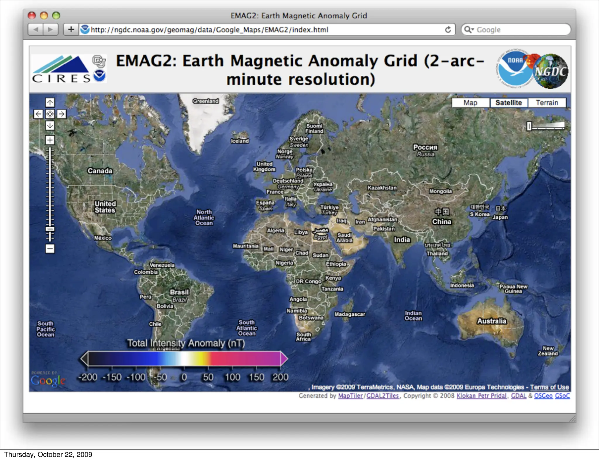
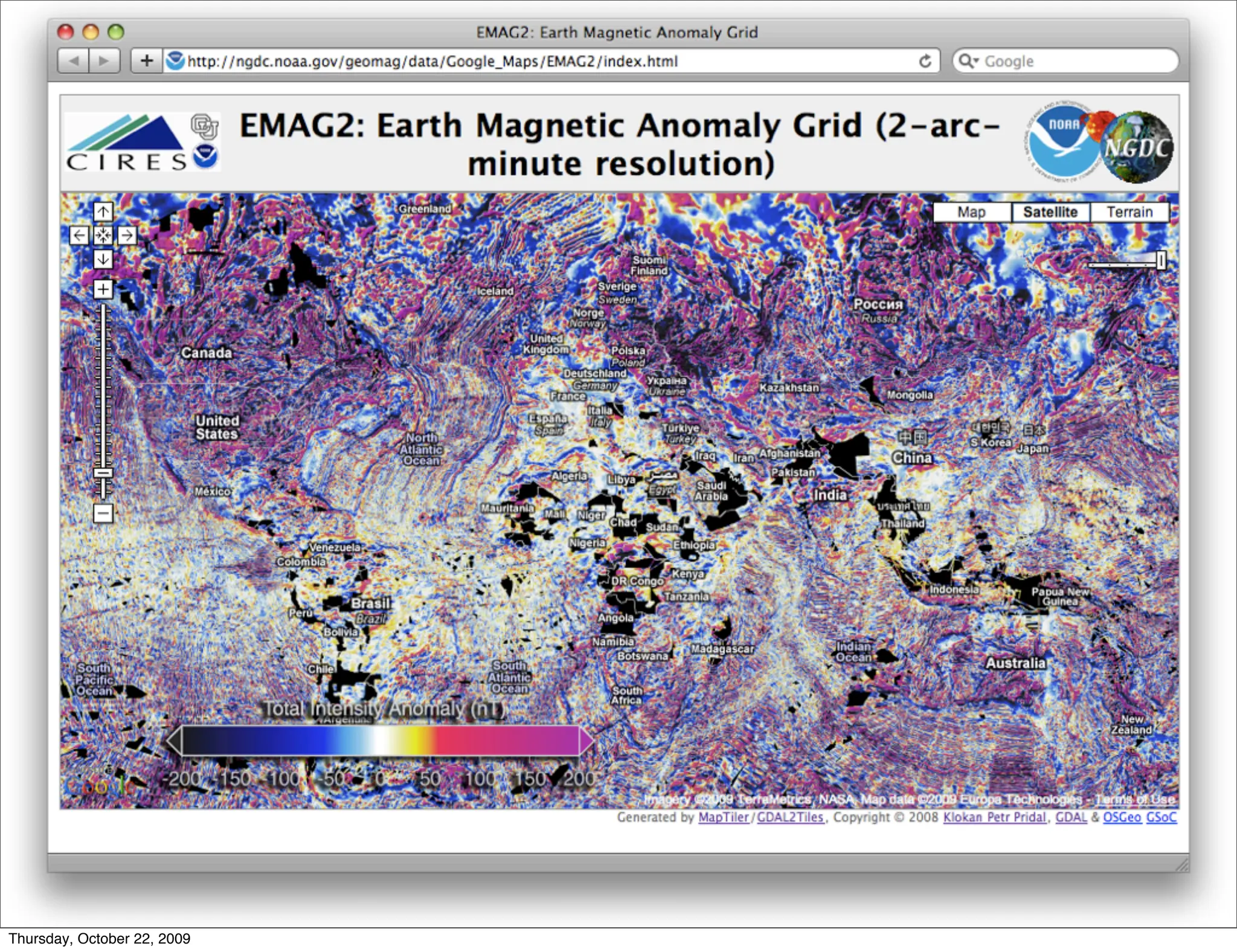
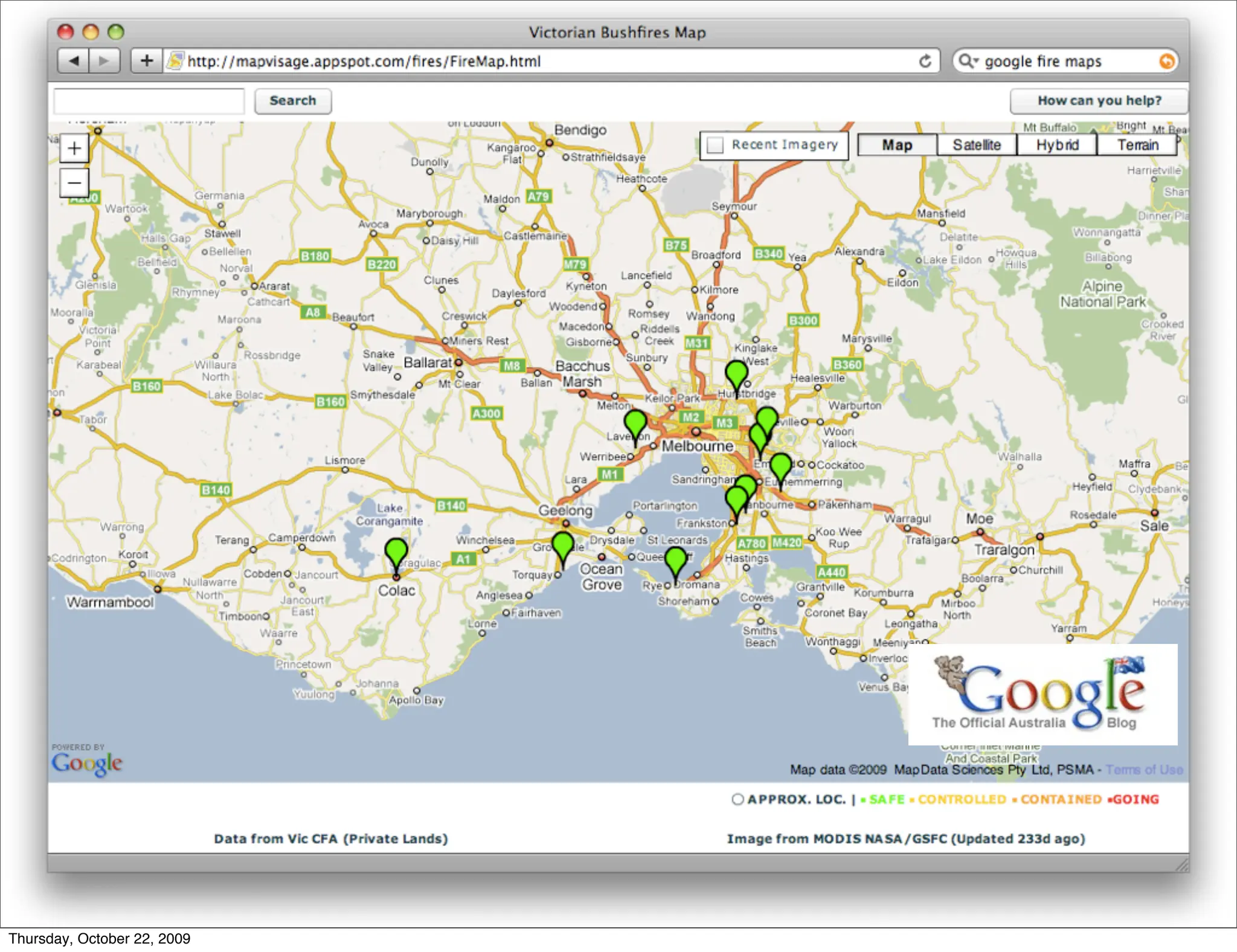
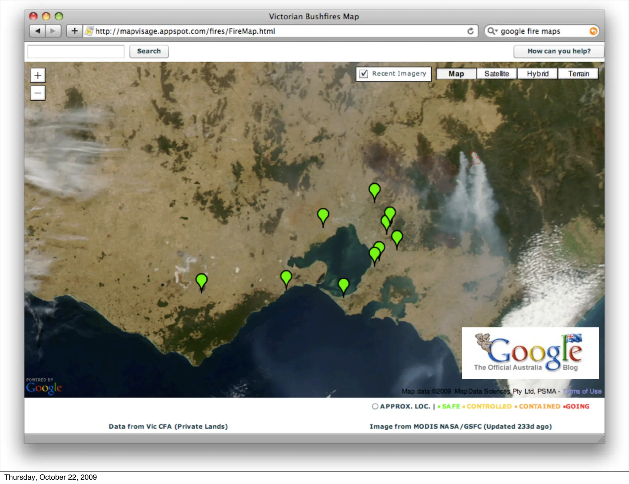
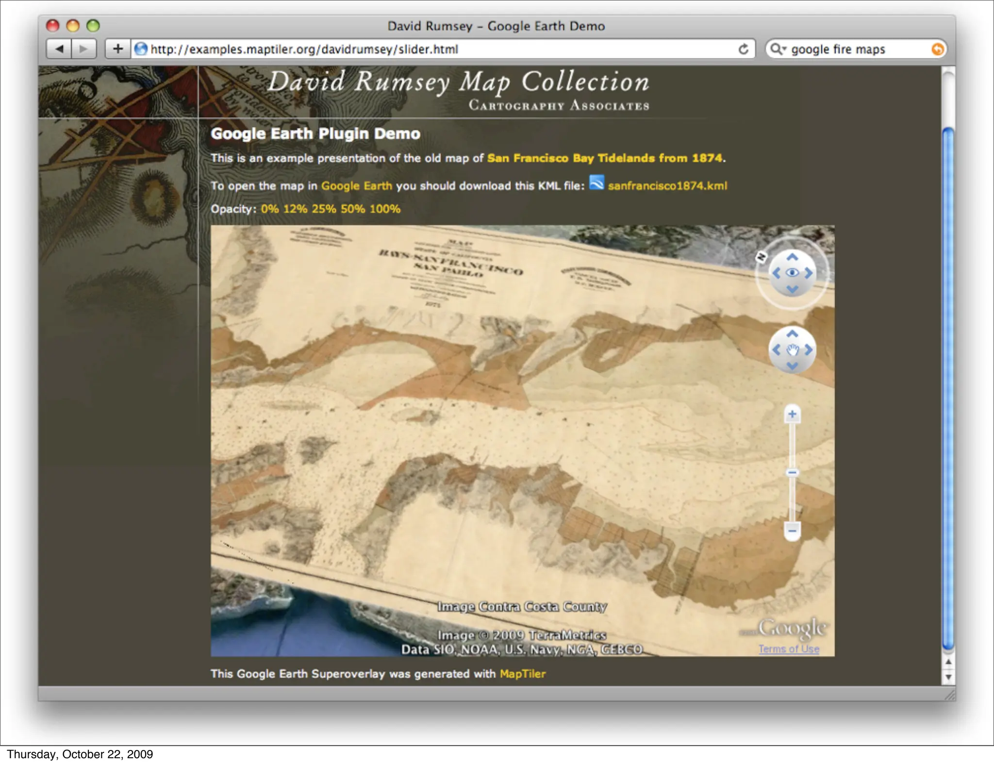
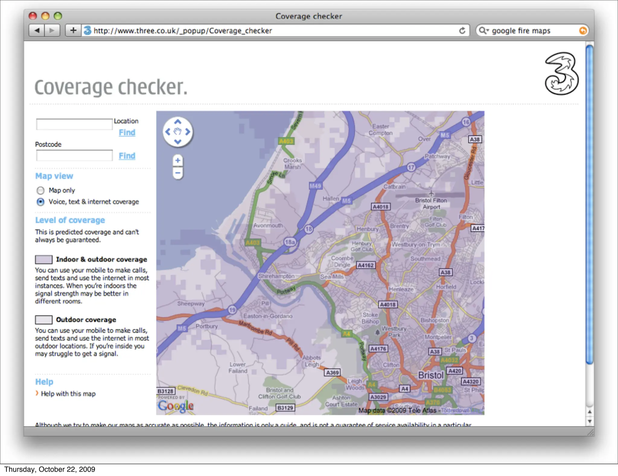
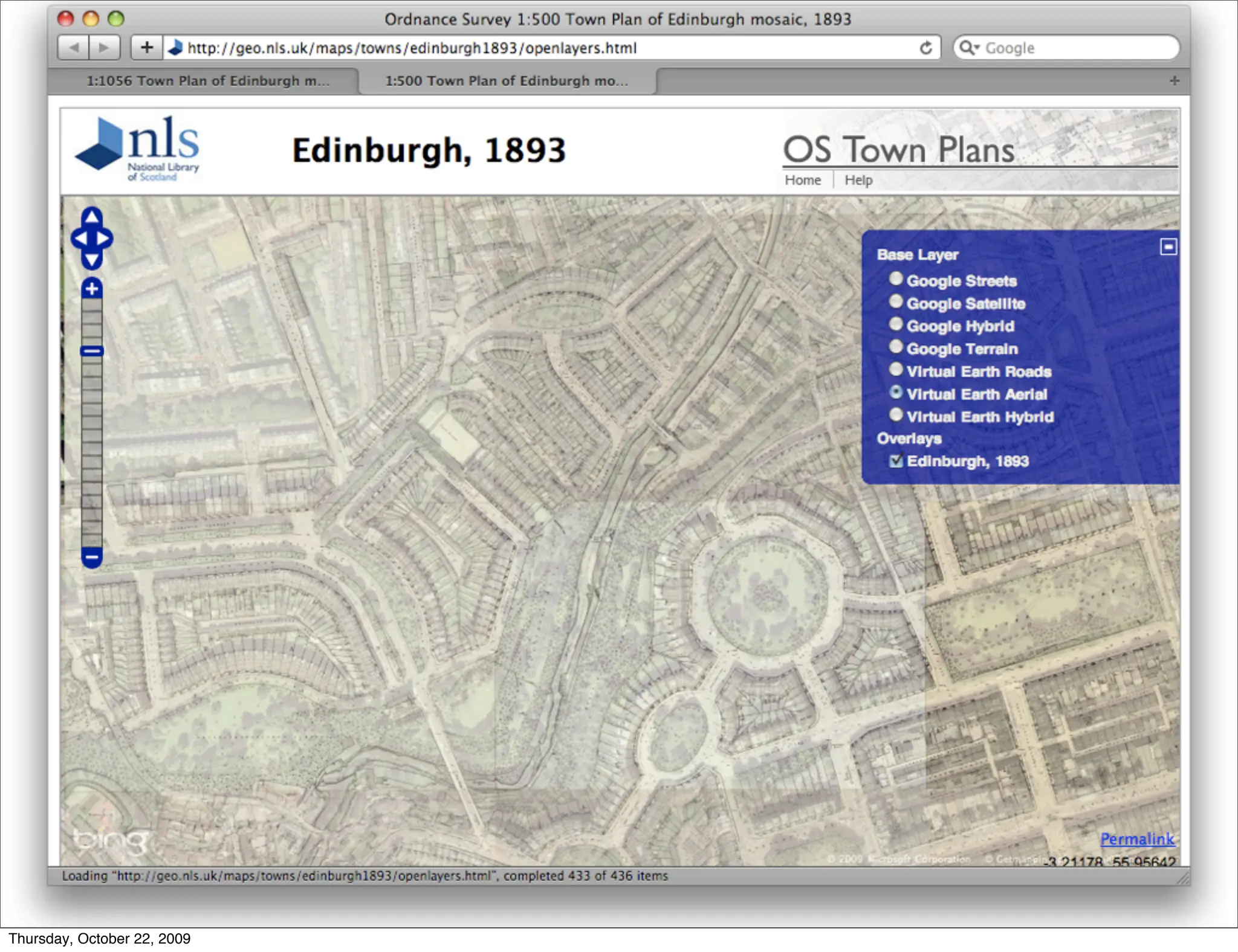
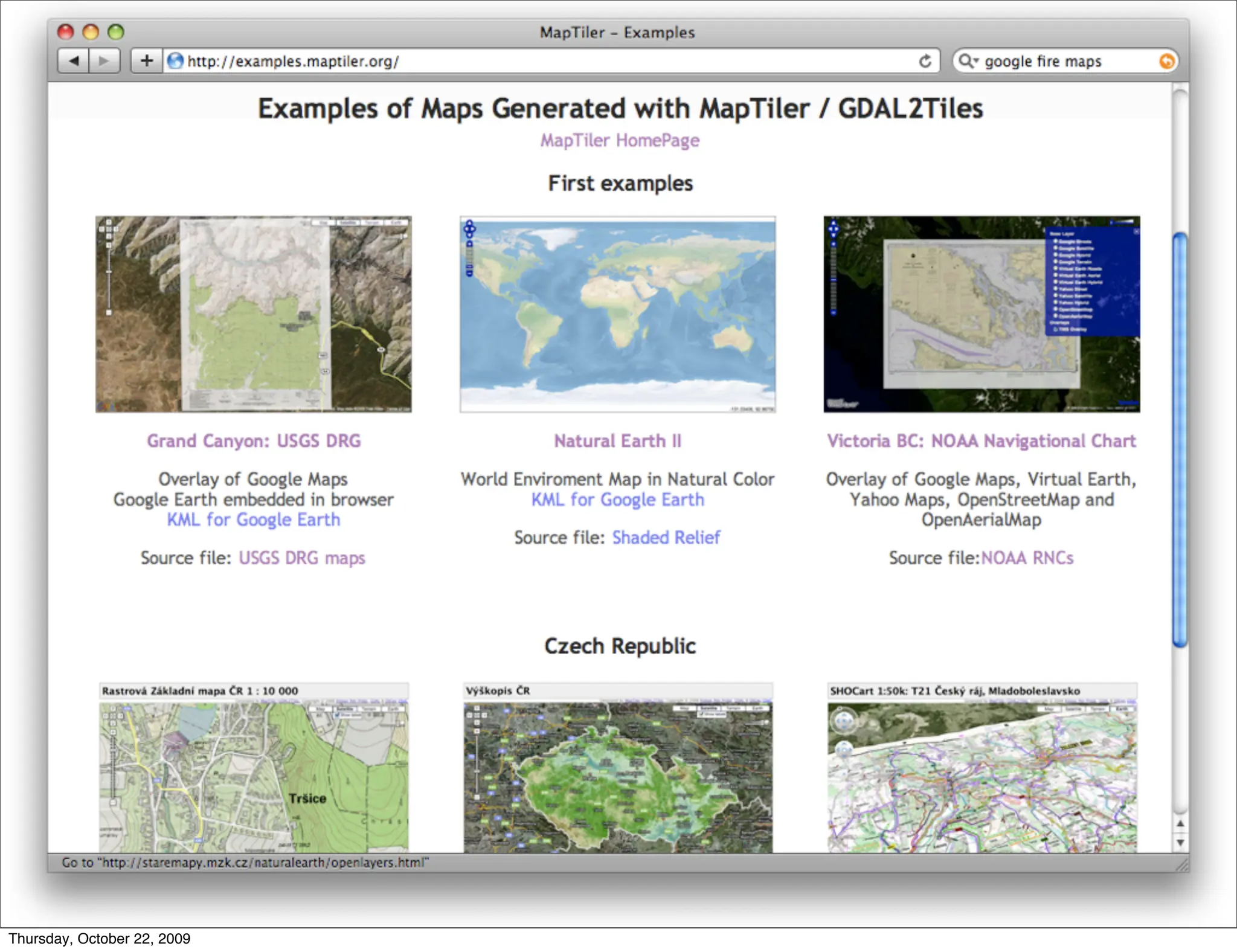

Presentation from the FOSS4G 2009 in Sydney (http://2009.foss4g.org/). Abstract: http://2009.foss4g.org/presentations/#presentation_17 MapTiler: map publishing a la Google Maps MapTiler is a new easy to use open-source desktop application for online map publishing. It runs on Windows, Mac and Linux and is fully scriptable thanks to a command-line interface of GDAL2Tiles utility. MapTiler can be used to convert your map into a tile overlay of online maps like Google Maps, Yahoo Maps, Microsoft VirtualEarth or OpenStreetMap or a 3D overlay for Google Earth. The only thing you have to do for publishing the maps is to upload the automatically generated directory with tiles onto your webserver. MapTiler also generates simple JavaScript viewers based on OpenLayers and on Google Maps API. Supported formats of input raster files for conversion are TIFF/GeoTIFF, MrSID, ECW, JPEG2000, Erdas HFA, NOAA BSB, JPEG and more. Typical input raster data are aerial images, scanned paper maps, signal coverage maps, maps rendered with custom design from GIS or digital elevation model data. The presentation contains practical use cases and shows examples of the maps rendered with MapTiler/GDAL2Tiles. Experiences from parallelized rendering on a cluster (Amazon EC2) and from tile hosting at CDNs like Amazon S3/CloudFront, or Google App Engine are discussed as well. MapTiler is a graphical interface for GDAL2Tiles utility, which is part of GDAL (OSGeo project). More info about MapTiler: http://www.maptiler.org/ Presenter: Klokan Petr Pridal Biography: Independent programmer and consultant specialized in web technology, map publishing and open-source software development (http://www.maptiler.com/). Technical manager of the OldMapsOnline.org project (Moravian Library in Brno) and PhD candidate (Geodesy & Cartography) at Czech Technical University in Prague. Membership in the International Cartographic Association (ICA) Working Group for Cartographic Heritage. Active contributer in Open Source Geospatial Foundation (OSGEO). Google Summer of Code participant in 2007 & 2008.


